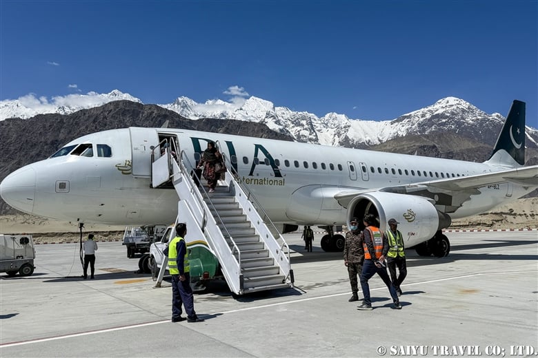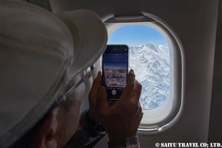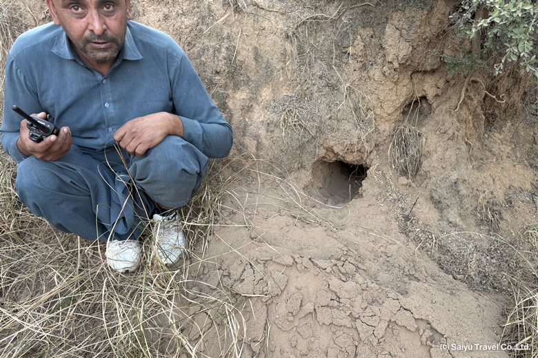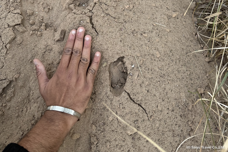
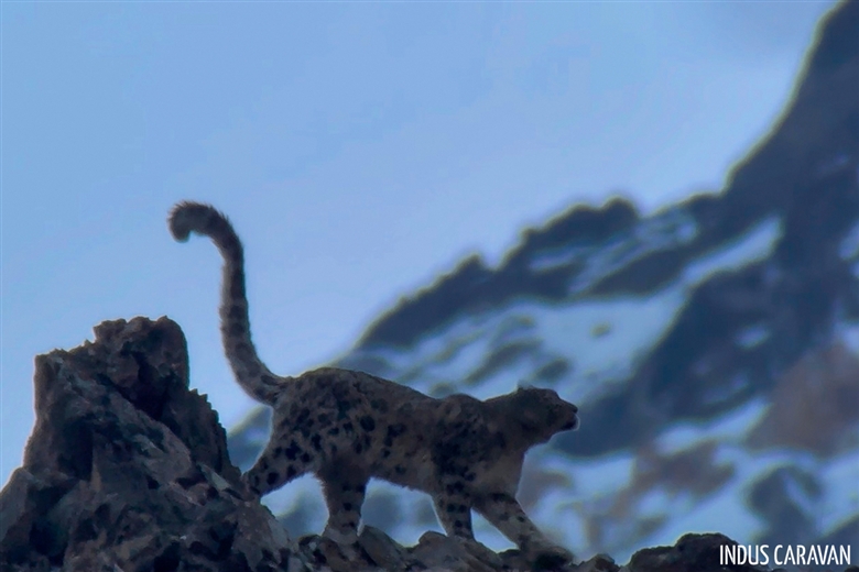
The “Ghost of the Mountains”—the snow leopard—is a dream for wildlife enthusiasts worldwide. Yet, in the villages of northern Pakistan, these majestic cats were long dreaded as “pests” that preyed on livestock, sometimes leading to retaliatory killings by villagers protecting their livelihoods. However, Khyber Village in Upper Hunza is changing this narrative by dedicating itself to the conservation of snow leopards and their natural prey.
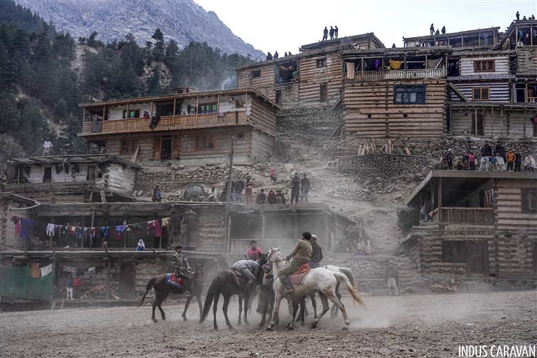
Khyber is a village of 221 homes (about 1,200 people). Here, Burushaski and Wakhi speakers live together with one goal: protecting its nature and wildlife.
[Video] Snow Leopards and Ibex in Khyber, Upper Hunza
The Turning Point: From Collapse to Recovery
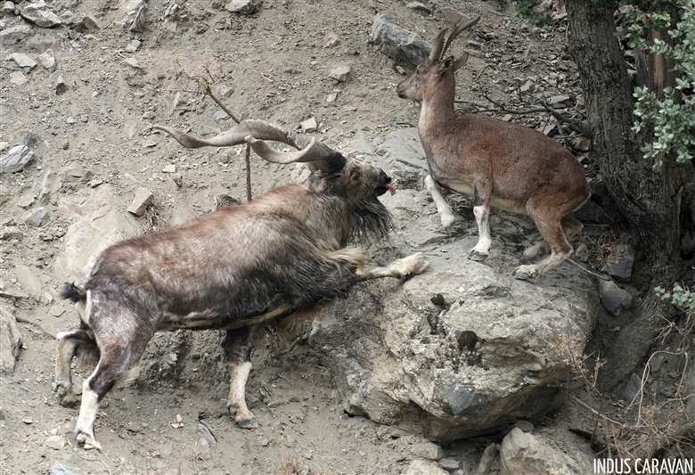
In the early 1990s, the local ecosystem was on the brink of collapse due to unregulated hunting. The number of Himalayan Ibex, the primary prey of snow leopards, had plummeted to just 42 within the village’s 330-square-kilometer territory.
The real transformation began in 1992, marked by the launch of wildlife protection initiatives through SKIDO (Shahi Khyber Imamabad Development Organization). Villagers began volunteering to patrol against illegal hunting and worked tirelessly to educate former hunters, sharing a new vision: that protecting wildlife was the key to the village’s future.
Today, over 30 years later, more than 700 ibex roam the slopes. As the ibex returned, so did the snow leopards, making their presence a natural part of the Khyber landscape once again.


Economic Incentives for Conservation
A core pillar of this “community-based conservation” is the trophy hunting program. While controversial to some, it provides essential financial support for the village:
Under this community-based conservation model, 80% of the hunting permit fees—which reached as high as $14,000 for a foreign ibex hunter in 2025—go directly to the village organization, providing vital funding for education, healthcare, infrastructure, and, most importantly, the compensation system for livestock lost to snow leopards.
When the survival of the ibex directly benefits the community, poaching disappears, and a healthy environment for the apex predator—the snow leopard—is naturally maintained.
Compensation for Livestock Loss Caused by Snow Leopards
In Khyber Village, livestock predation by snow leopards remains a persistent challenge. To address this, SKIDO has established a “compensation system” where villagers pay a small insurance premium to cover their losses. However, the current funding for this system is far from sufficient.
In the 2024 fiscal year alone, 27 families reported the loss of 84 animals and sought compensation. Unfortunately, many families still choose not to join the system because the current compensation payouts are not enough to cover their actual losses. Strengthening this support fund is now an urgent priority to protect both the villagers’ livelihoods and the snow leopards.


During the Snow leopard observation tours in 2026 season, SKIDO started a system to allocate our permit fees to their livestock compensation fund. This initiative aims to ensure that tourism directly supports both ecosystem conservation and local livelihoods in Khyber Village. Our participants deeply resonated with this mission, enabling us to provide a total of 812,000 Rupees in support to SKIDO this season. We remain committed to supporting SKIDO’s efforts, ensuring that tourism continues to be a driving force for the coexistence of humans and wildlife.

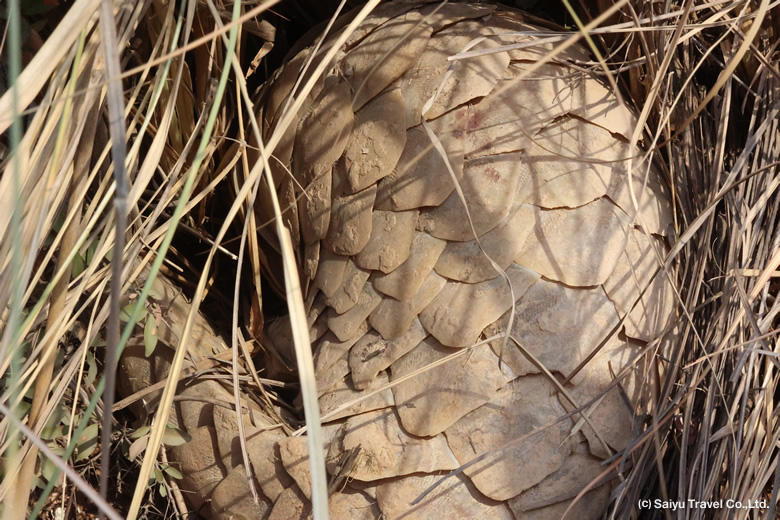
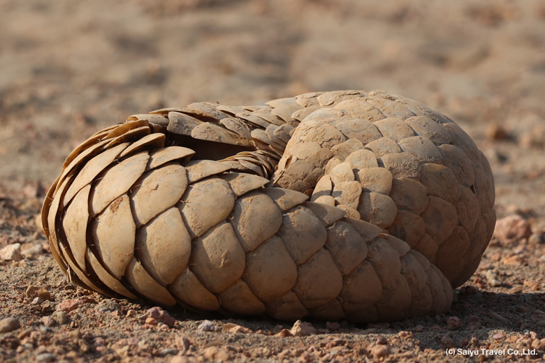
Ecosystem Recovery in Khyber Village
In Khyber Village, the chain of life is visible once more. We see herds of ibex, the snow leopards that hunt them, and the scavengers like Golden Eagles, Himalayan Vultures and Lammergeiers that share the remains. This is not just about “more” snow leopards; it is about the recovery of a balanced ecosystem.

[Video] Beyond the Kill: How a Snow Leopard’s Prey Feeds the Karakoram Ecosystem
Local villagers say they have noticed more snow leopards recently, but this is best described as a stage of ‘recovery’ to their natural state. Our goal is to protect the Karakoram mountains—the vital grazing grounds for ibex—and create an environment where the snow leopard, as the apex predator, can coexist with the community.
This year, we observed a young female snow leopard as she became independent from her mother. We look forward to seeing her return as a mother herself next season, and we remain dedicated to supporting the nature conservation efforts in this region.
Image &Text :Mariko SAWADA
*We arrange snow leopard observation tours in Khyber Village and the Upper Hunza region. For inquiries or consultations regarding conservation efforts and wildlife viewing, please contact us.
*An article about snow leopards
*Stay updated! Follow Indus Caravan on Instagram & Facebook & Youtube
Category : - Snow Leopard > = Video Clip Gilgit-Baltistan > ◆ Video Breathtaking Views of Pakistan > - Khyber > ◇ Wildlife of Pakistan > ◇ Conservation of Wildlife, NatureTag : Khyber village , Pakistan tour operator , Snow Leopard , Snow Leopard Tour , Snow Leopard Pakistan , SKIDO , Wildlife of Pakistan , Khyber Gojal , Indus Caravan