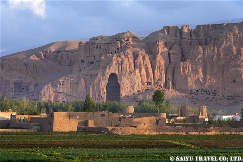
The following is the continuation of a photo report of Teppei Kamitani’s 2024 season excursion to the Baltoro Glacier—titled “Over the Baltoro Glacier to Broad Peak B.C. and K2 B.C.” Many spectacular drone aerial photographs are included within.
The second part of the blog traces and documents (with photos) the trek to Concordia in the following order: [Urdukas → Goro Ⅱ → Concordia → Broad Peak B.C. → K2 B.C.→ Concordia].
Over the Baltoro Glacier, the Trek to Broad Peak B.C. and K2 B.C., Part 1
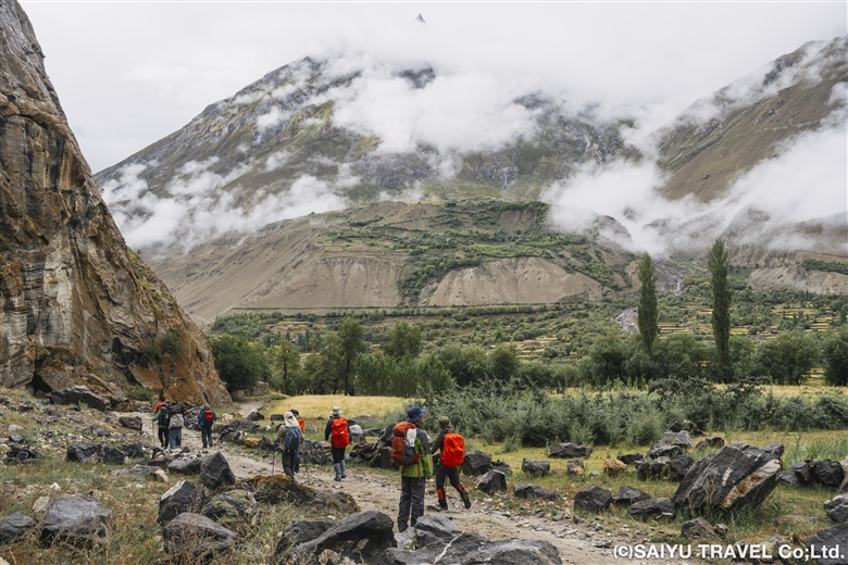
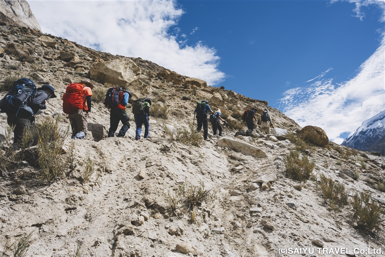
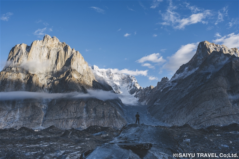
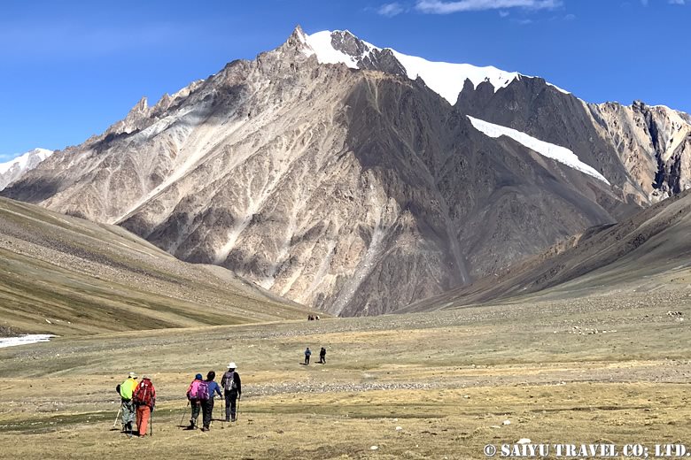
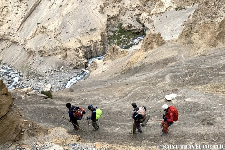
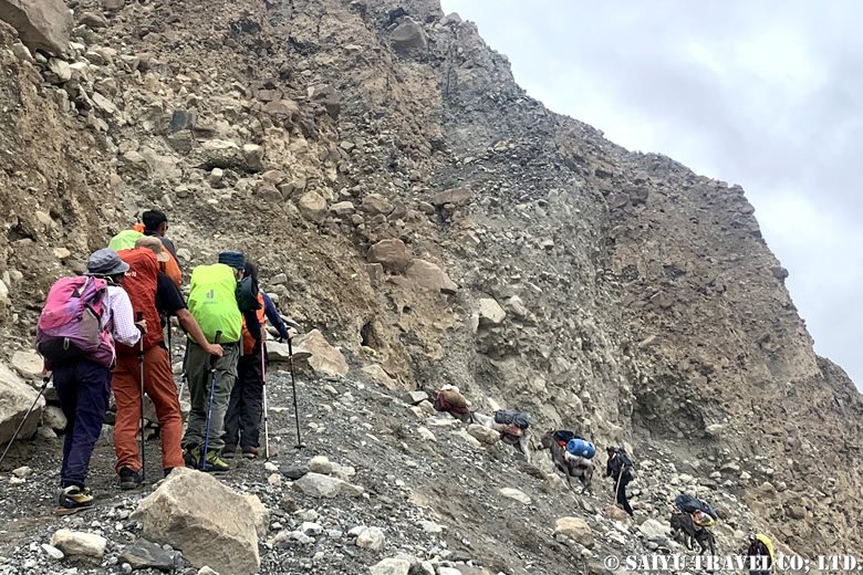
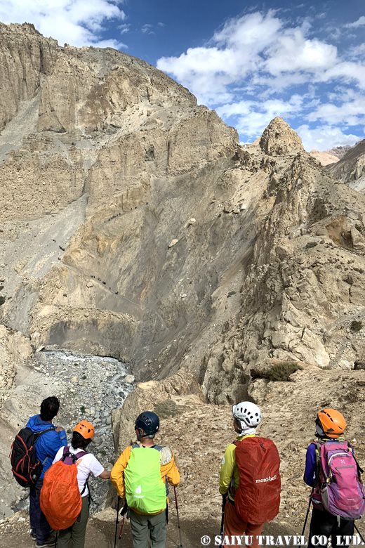
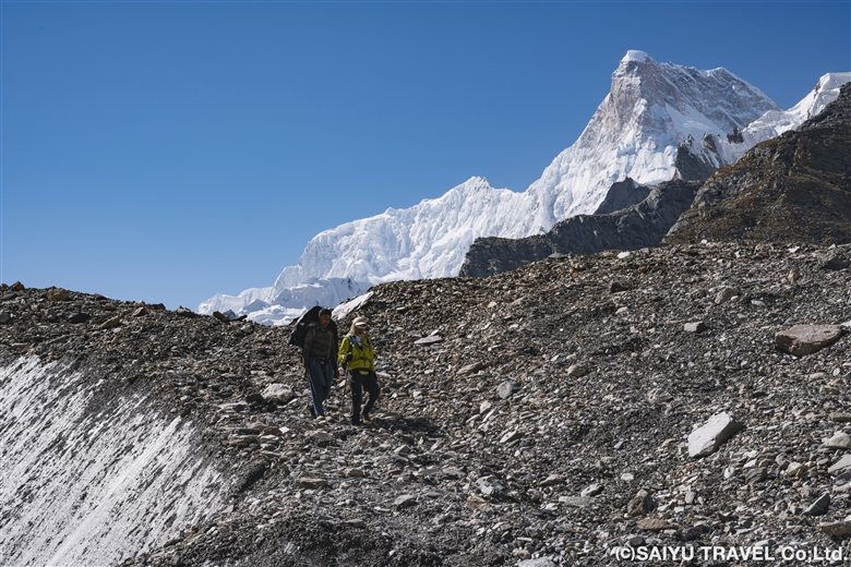
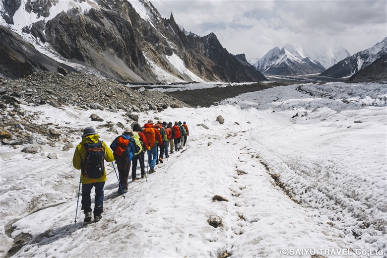
Day 7: Urdukas to Goro Ⅱ
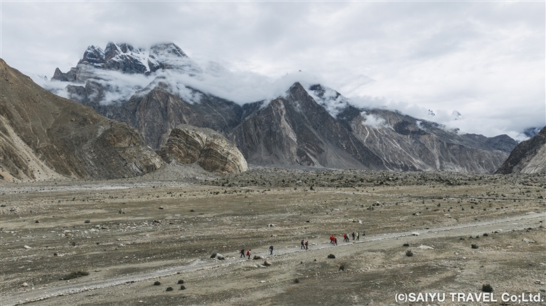
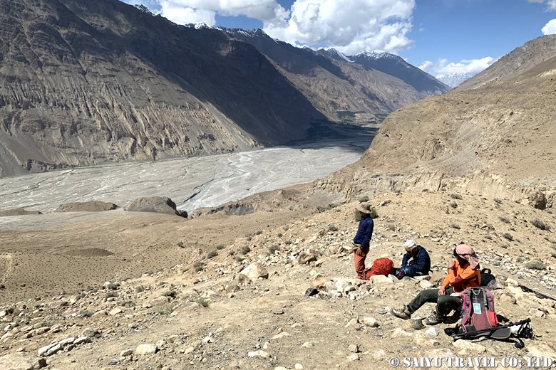
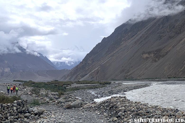
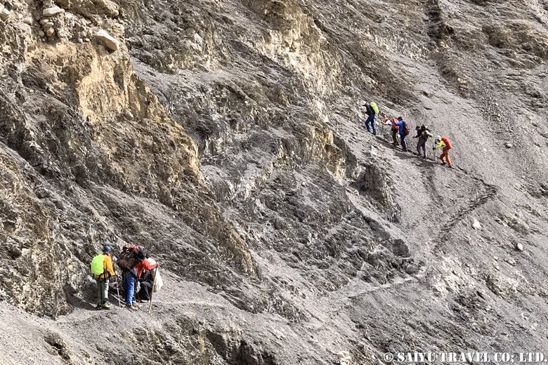
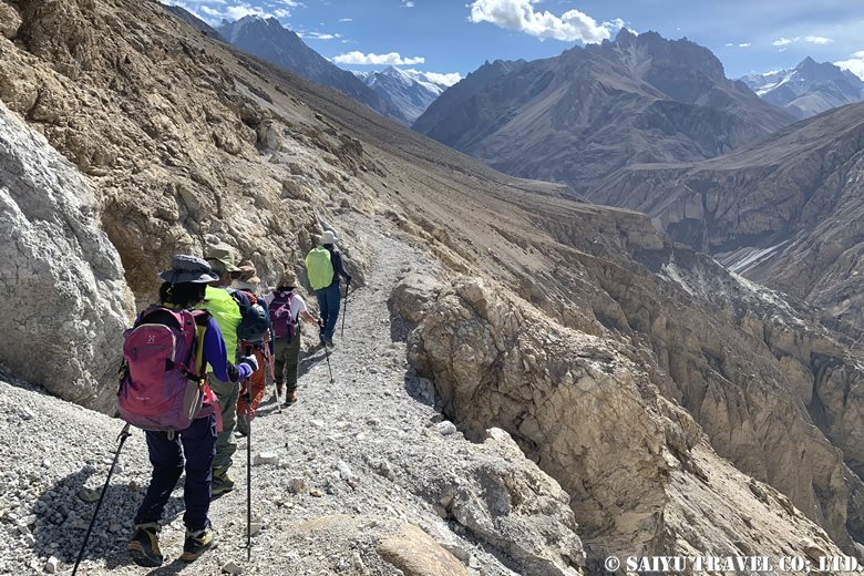
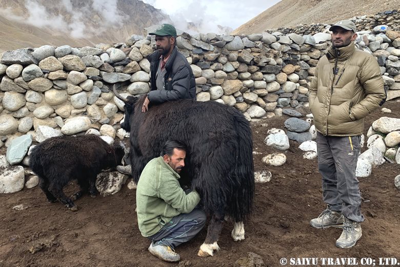
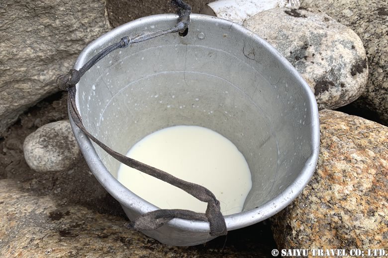
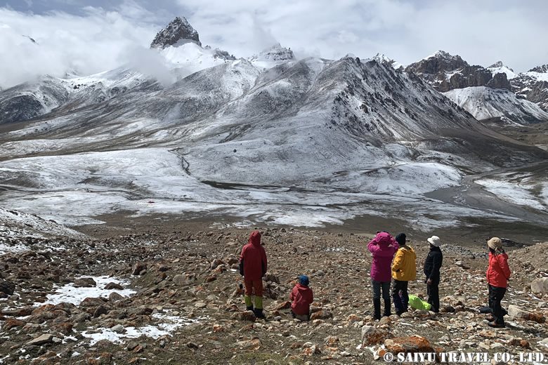
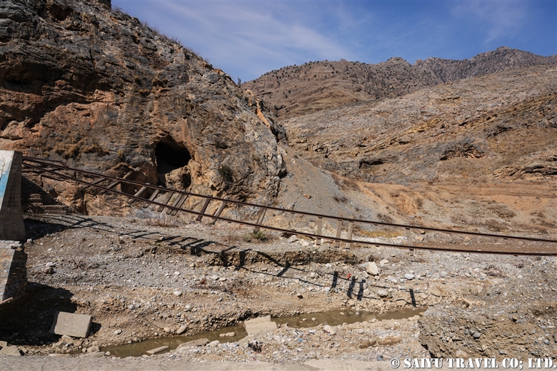
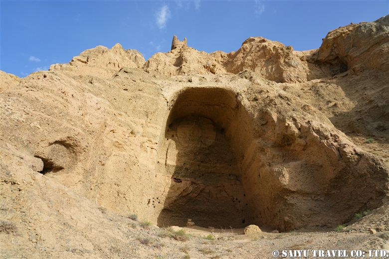
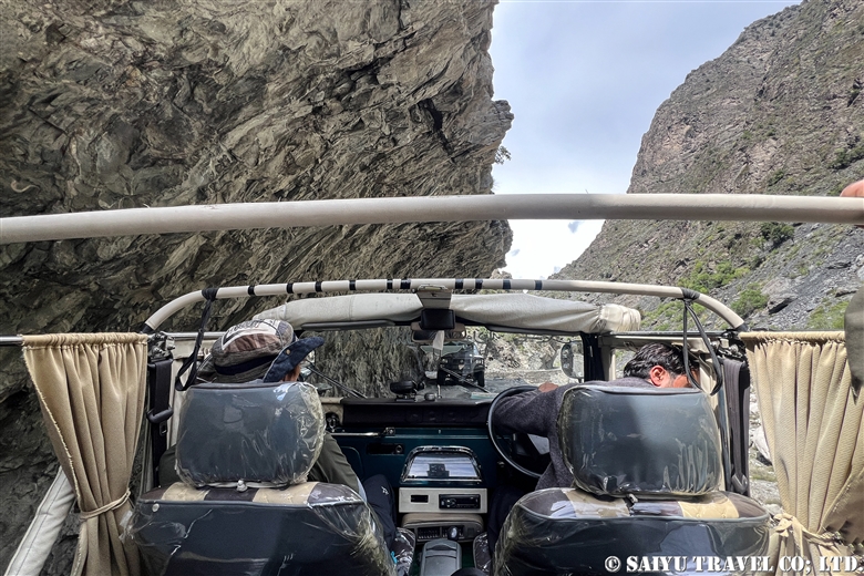
We left Urdukas at 7:00 a.m. and were up on the Baltoro Glacier within 30 minutes. Today’s route was a continuous up-and-down walk along the moraine of the Baltoro Glacier.
It was a clear day, so even though we were on a glacier, the sunlight made us feel warmer than the real temperature let on. We proceeded deeper into the moraine, wearing light clothing.
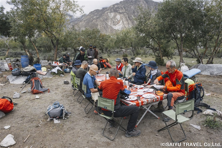
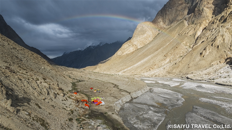
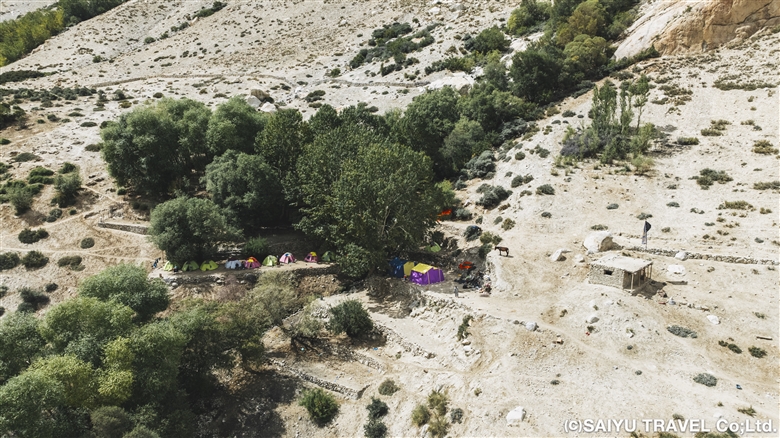
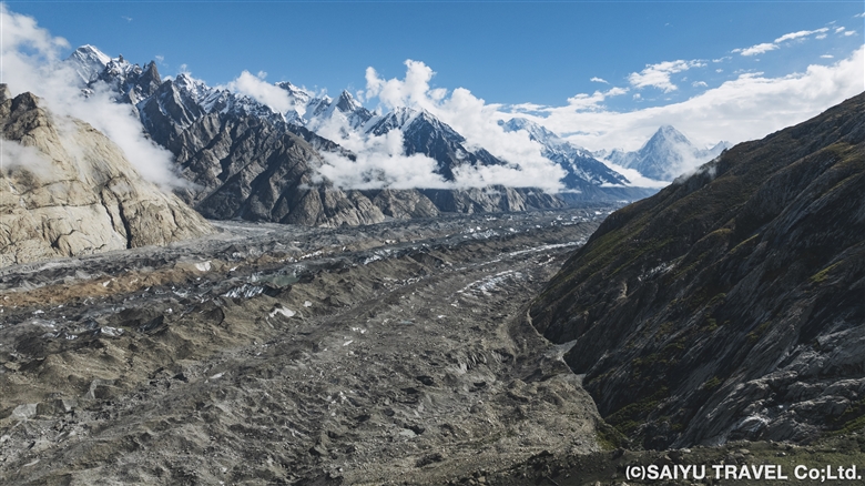
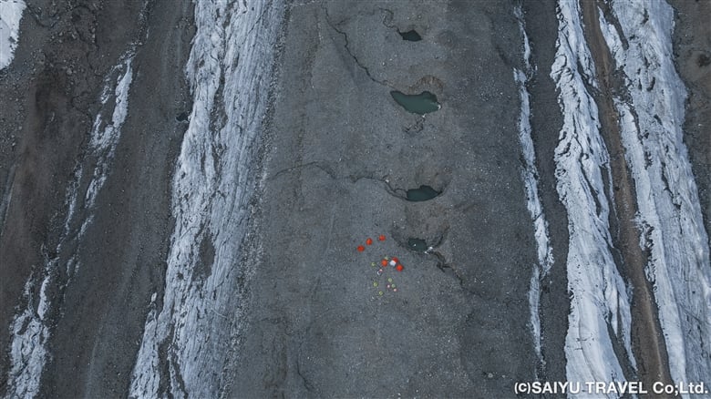
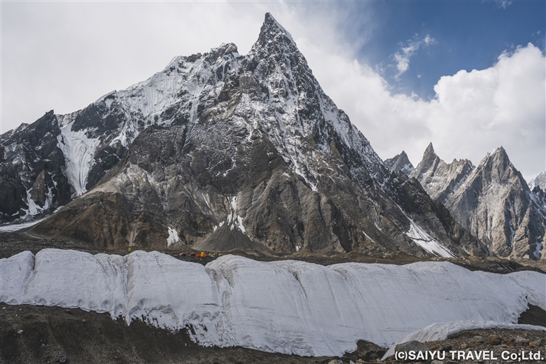
At 11:45 we arrived at our lunch stop, Goro I (4,100m), where we had ourselves a lavish lunch at a table in the middle of the glacier. On the outward trek, we did not stay here but continued instead on to Goro II.
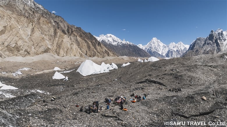
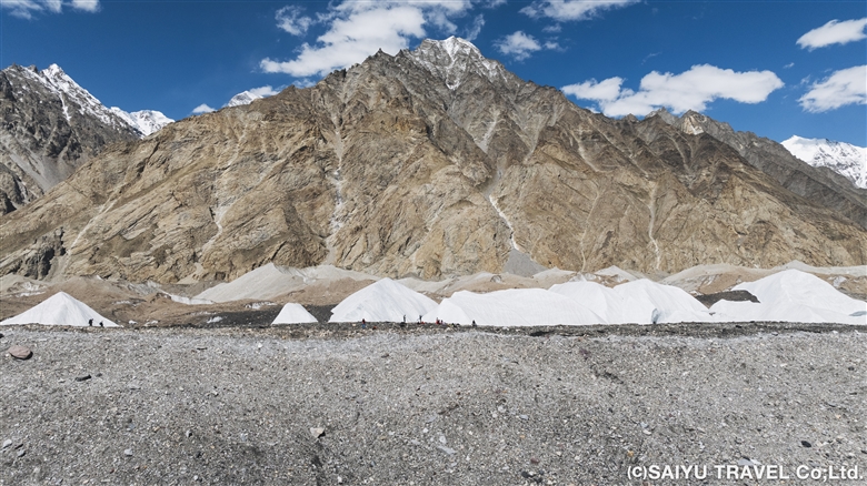
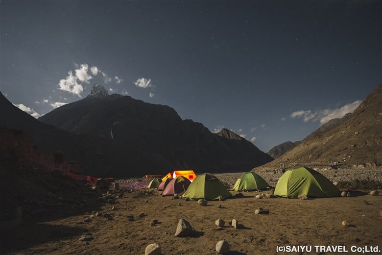
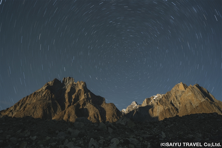
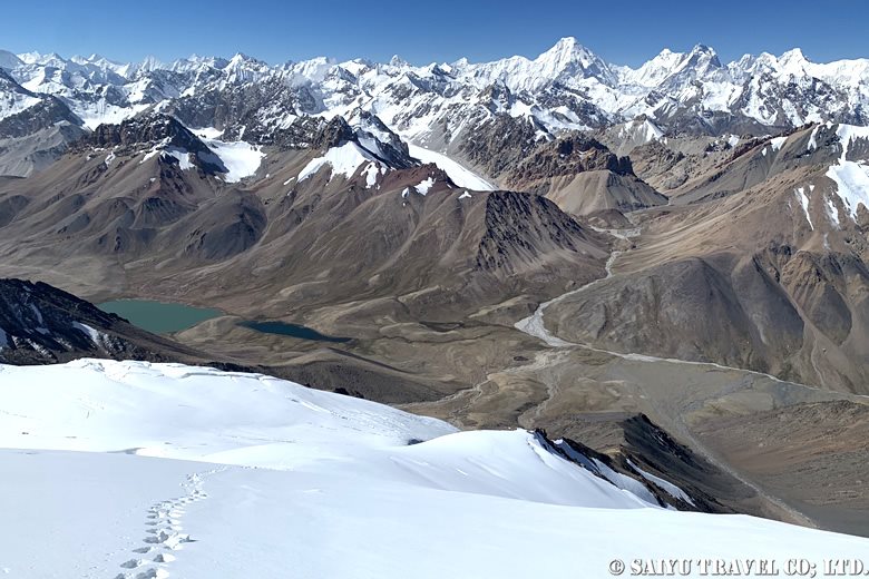
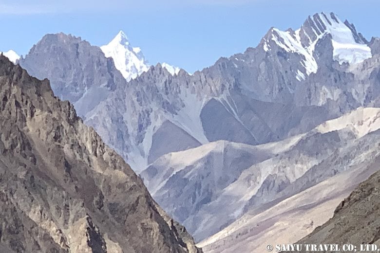
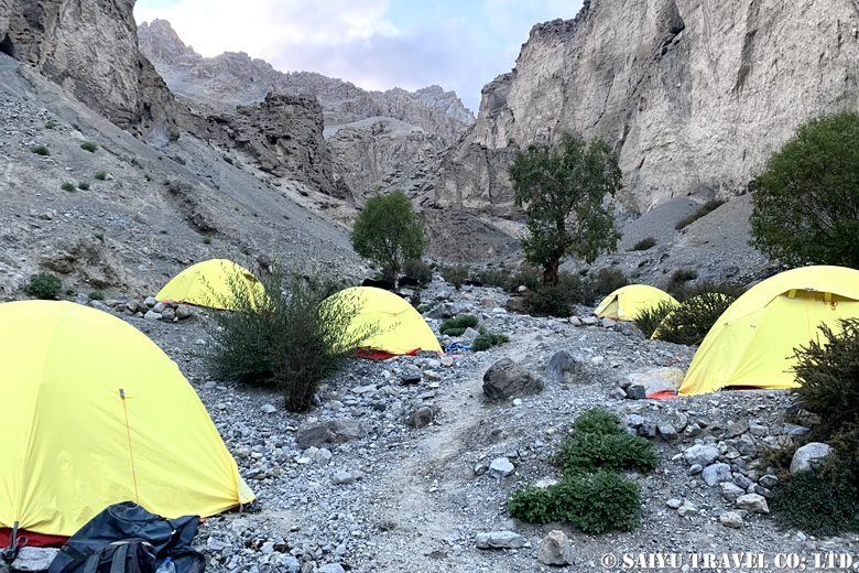
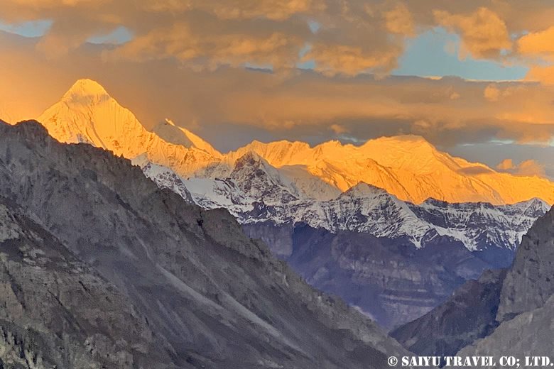
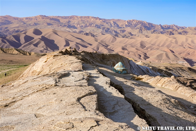
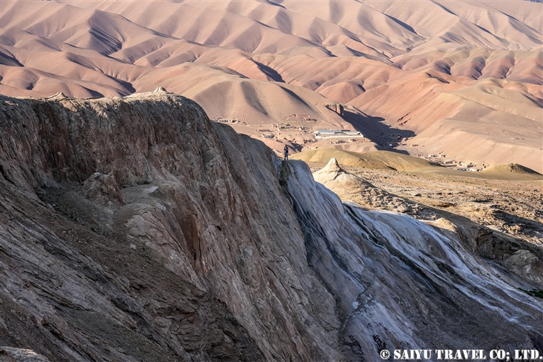
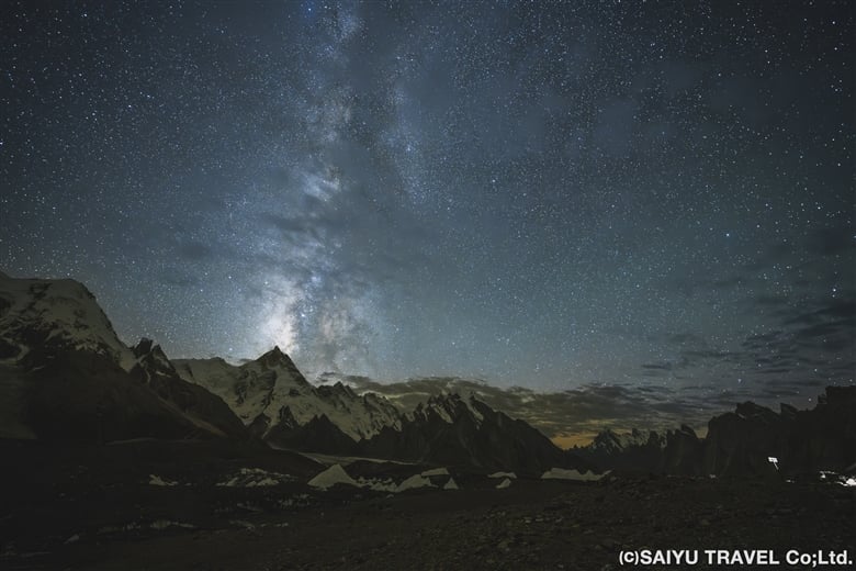
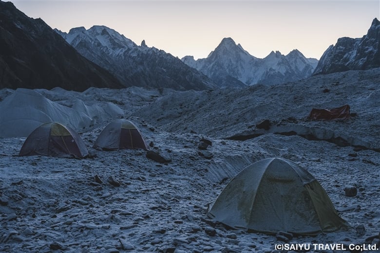
After another 2.5 hours, we arrived at Goro II (4,380m), also a camp on the glacier, at 15:00. After Goro II, we slept on the ice, as the temperature continued to drop in both the morning and evening. It was cloudy on the outward trek, but on the way back to Goro I, we had an excellent view of the Gasherbrum mountains. The -6℃ temperature in the morning, however, was less than excellent. My hands were freezing cold.
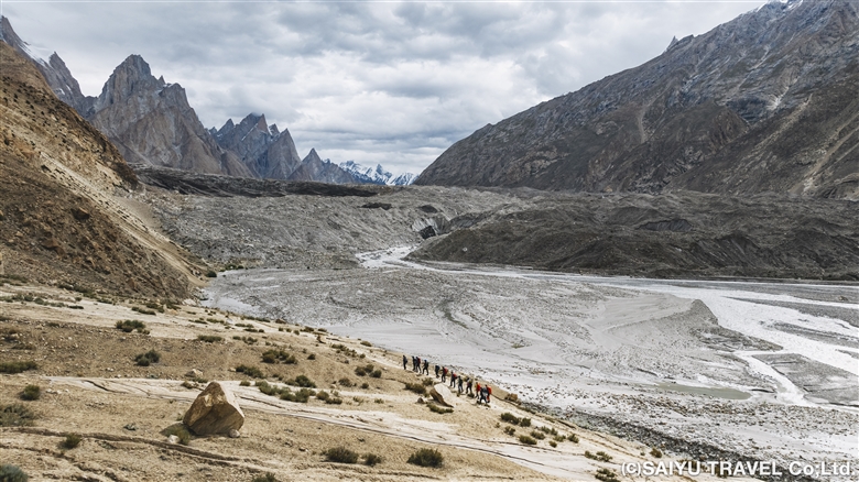
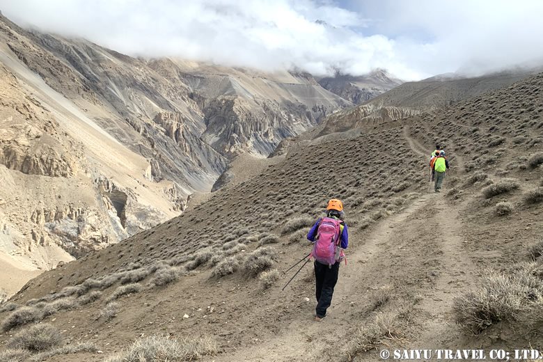
Day 8 & 9: GoroⅡ to Concordia
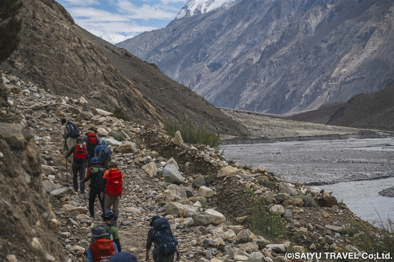
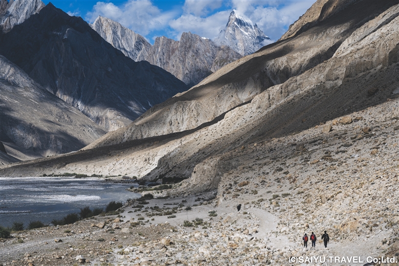
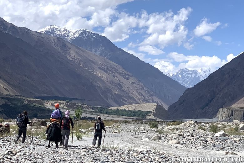
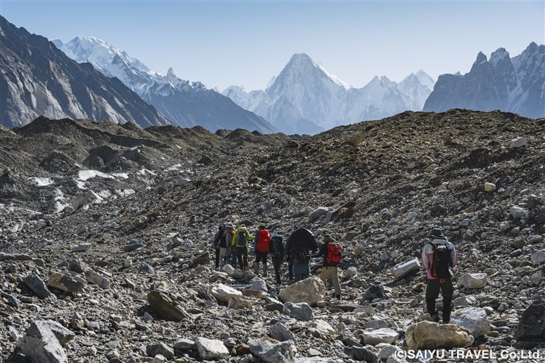
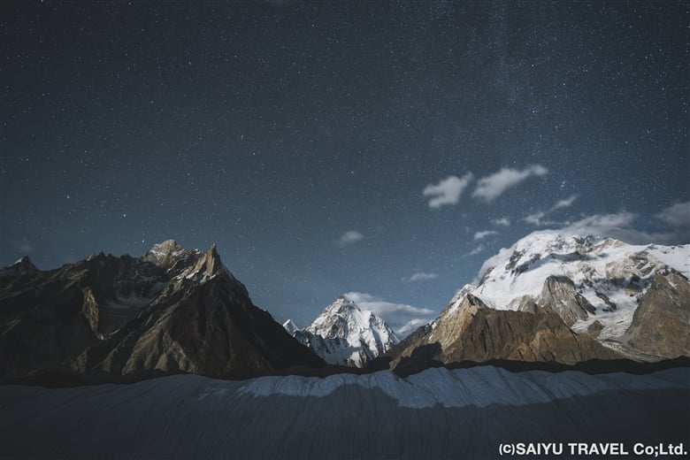
Waking up in the morning at the camp on the glacier, the cold air—which now felt stronger than before—imbued us with a sense of determination. Under slightly overcast skies, we departed for our destination, Concordia. Continuing from the previous day, it was just up and down on the glacier moraine. Thankfully, however, the path was quite gentle and flat in many parts, making for an easy walk.
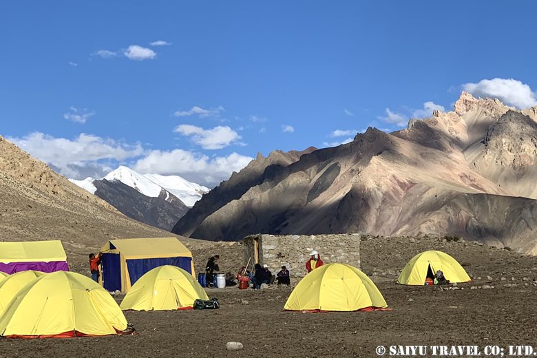
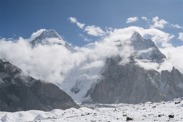
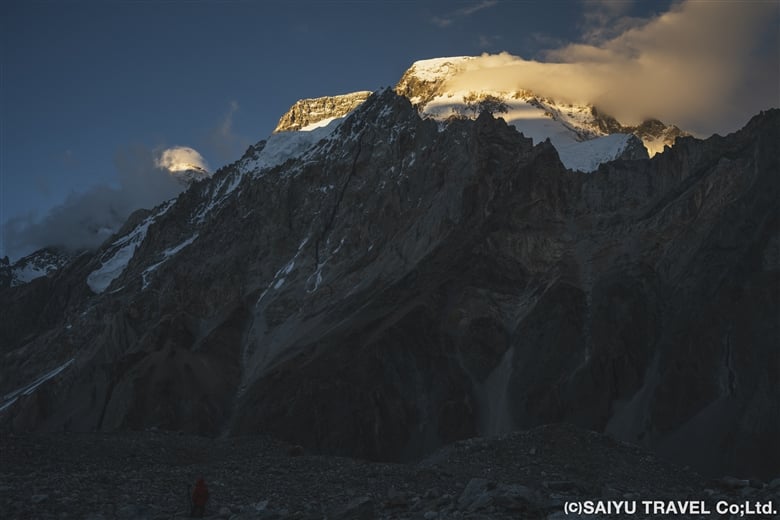
In the afternoon, cold rain began to fall, which was hard on our tired bodies at the end of the day. We continued further into the depths of the mountain to a campsite where we could see K2 in front of us. Finally, we arrived at the Concordia camp, the turnaround point.
Unfortunately, K2 was still obscured by clouds when we arrived and did not grace us with its presence, but we still held on to hope. We stayed at the Concordia Camp for two days, which served also as time to rest.
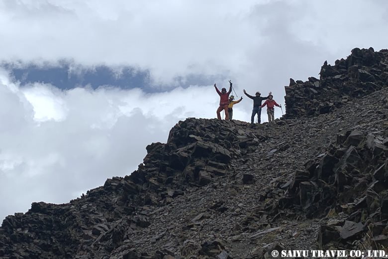
Day 10 Concordia to Broad Peak B.C.
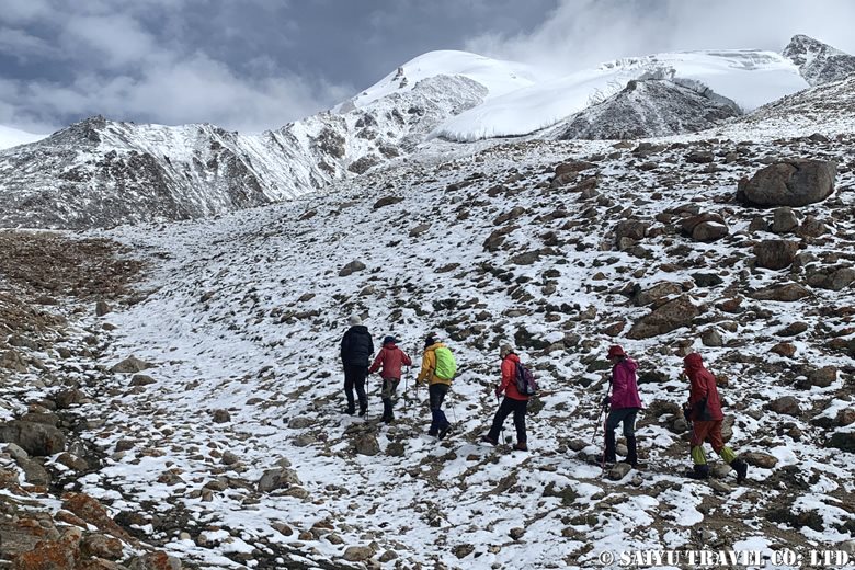
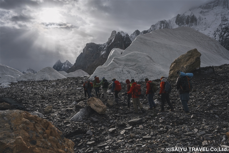
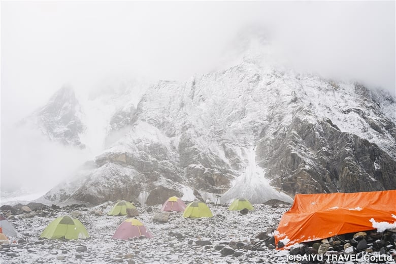
In the morning, we woke up to steady snowfall. Visibility was almost zero, making it difficult for the porters and horses to move forward, so we had to temporarily postpone our departure and wait until 9:00 a.m. The sun came out before 9:00 a.m., and a blue sky quickly revealed itself before us. It was time to set out!
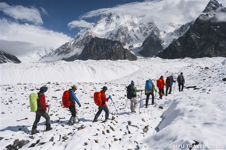
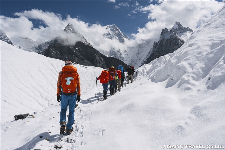
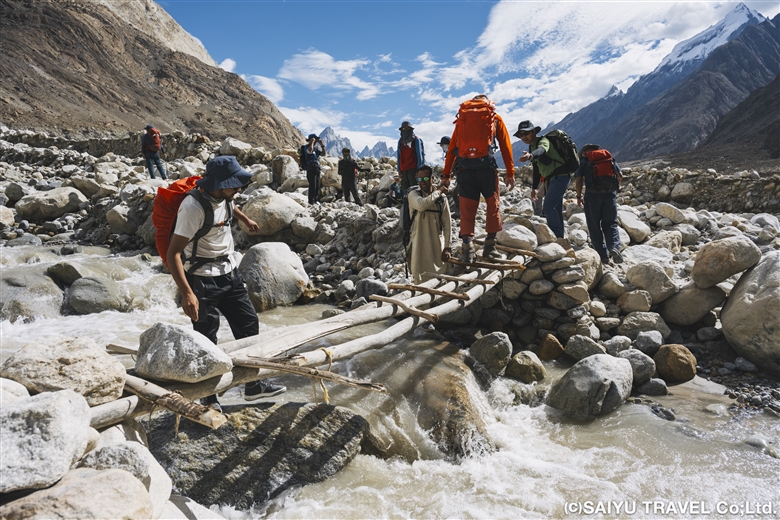
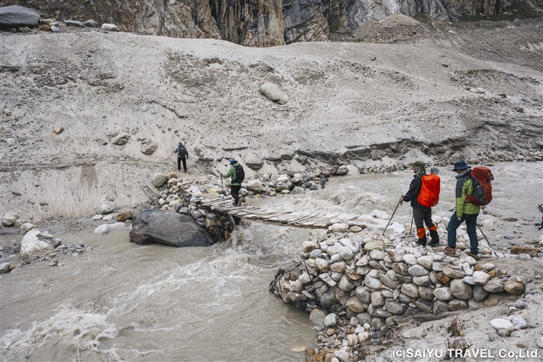
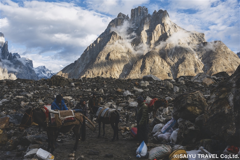
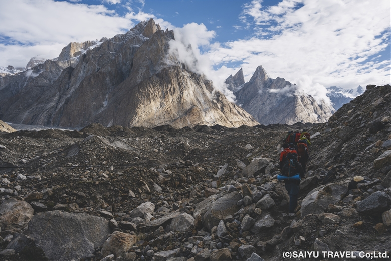
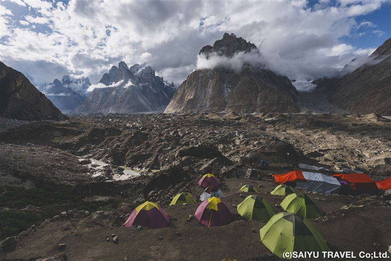
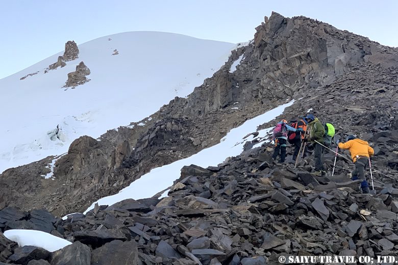
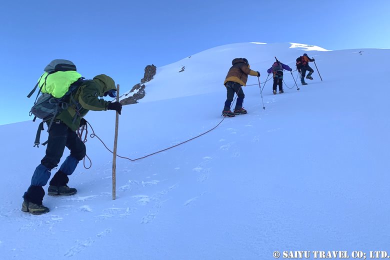
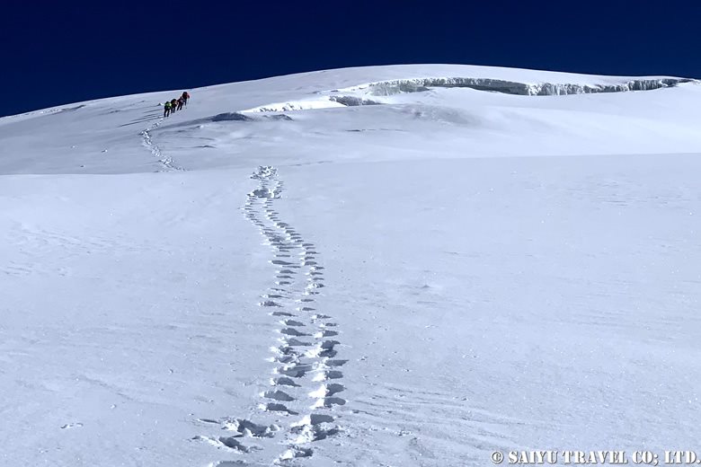
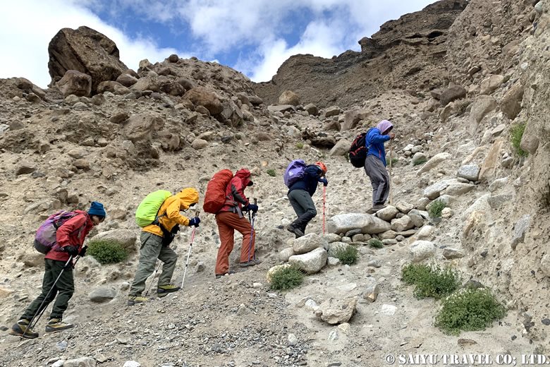
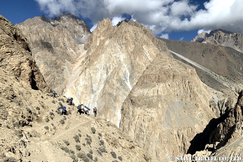
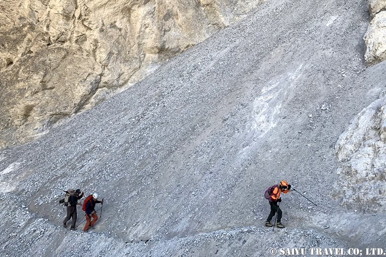
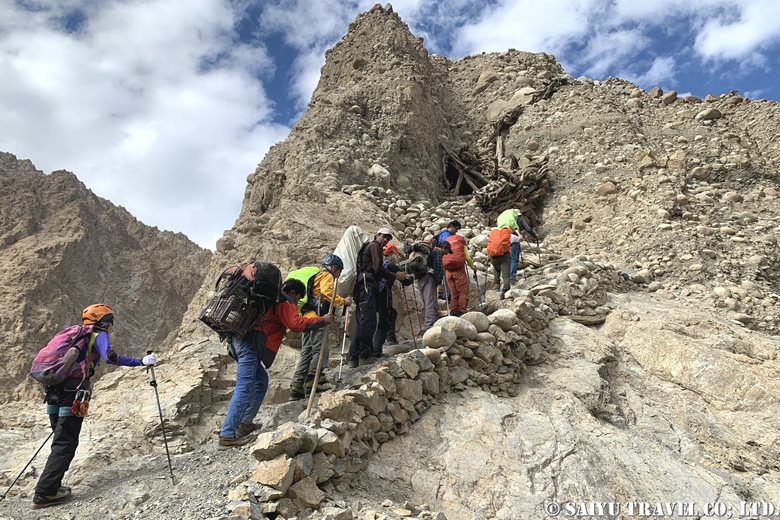
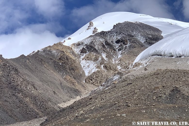
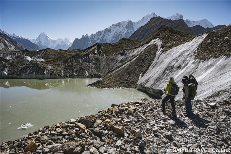
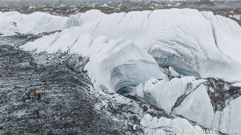
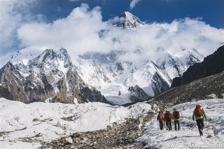
We changed to chain spikes/light crampons after 10 minutes of walking and passed through a serac zone. The route seemed to have changed a bit, and the serac was very gentle—traversable even without spikes. After the ups and downs of the large moraine, we simply walked along the side moraine of the Godwin-Austen Glacier, arriving at Broad Peak B.C. at about 14:00.
Day 11 Broad Peak B.C. to K2B.C and Back
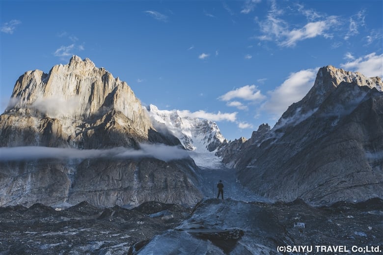
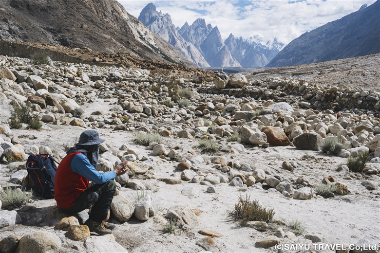
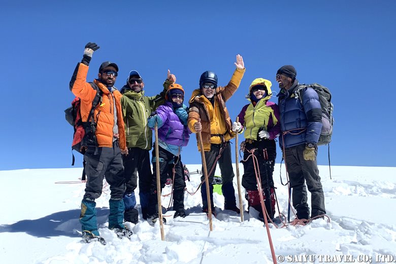
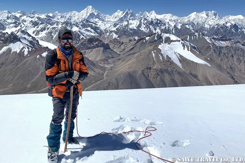
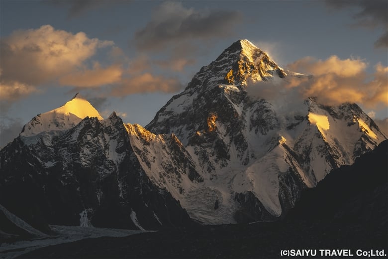
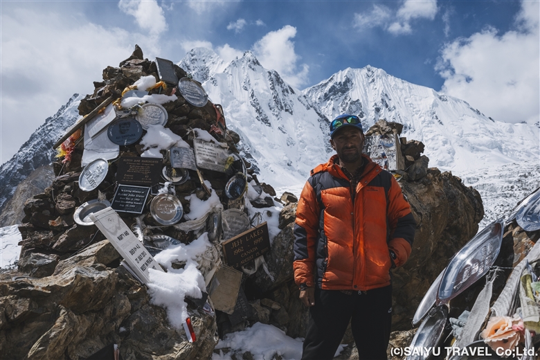
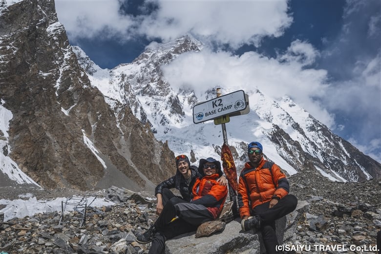
Finally, we set out for K2 B.C. This was a day round trip from Broad Peak B.C. We started at 7:00 a.m. and had a very pleasant 2 ½ hour flat walk up an icy area next to a moraine. Then we trekked up and down the messy moraine to our first destination, K2 Memorial. The K2 Memorial is built on a very steep rock slope, so it was tough to climb up, but we visited and said a prayer for the climbers who lost their lives in the mountains of the Baltoro Glacier, including K2. After descending to the bottom of the rock tower, we had a quick lunch of onigiri (rice balls) and then continued further along the gentle moraine, eventually arriving at K2 Base Camp at 11:30!
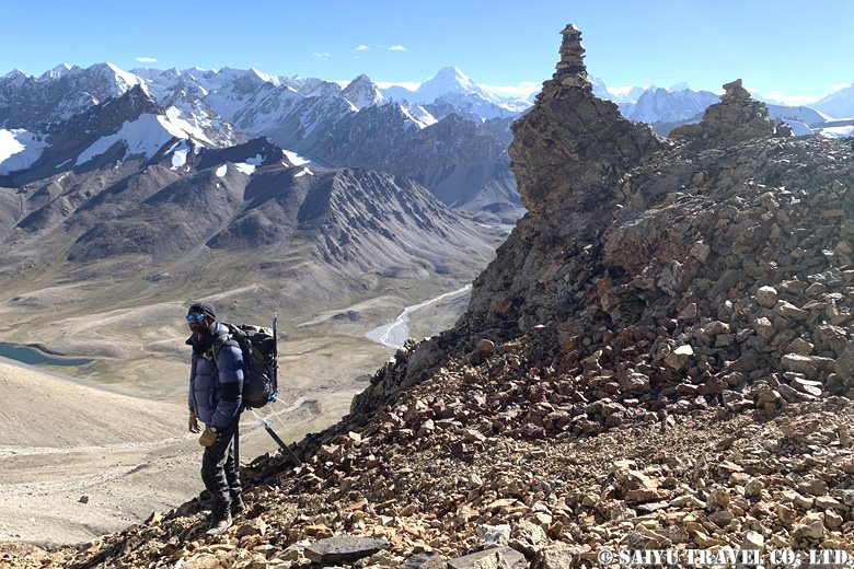
Day 12: Broad Peak B.C to Concordia
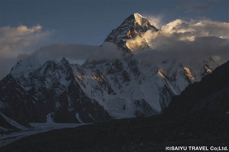
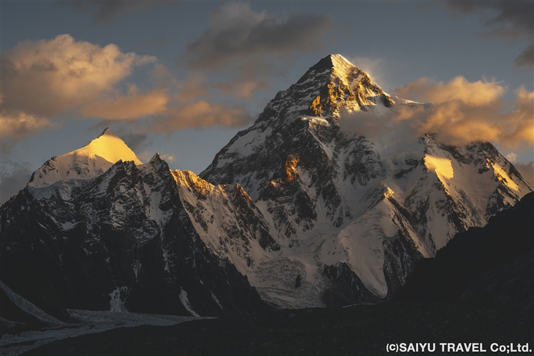
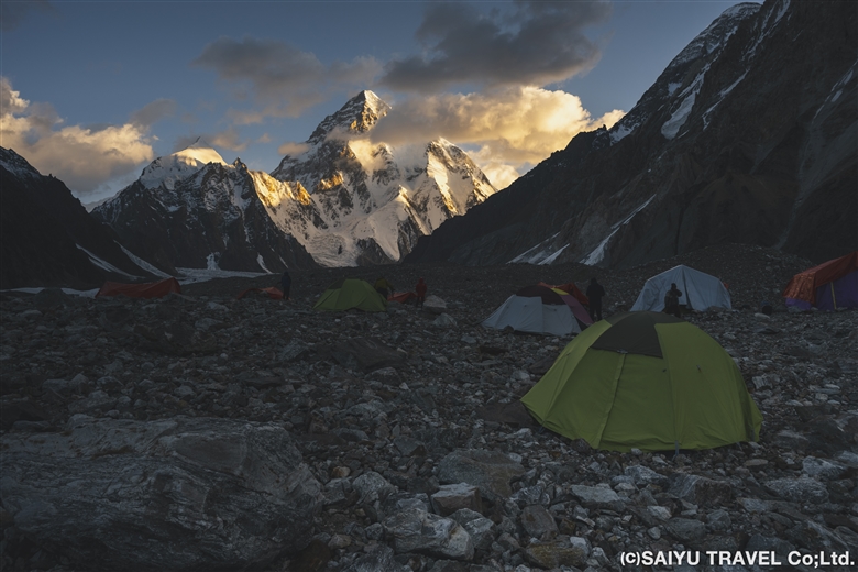
At Broad Peak B.C., where we stayed for two nights, K2 came into view around 5:35 a.m., glowing in the morning sun, giving the members a chance to gaze at the world’s second highest peak. After breakfast, we headed back to Concordia.
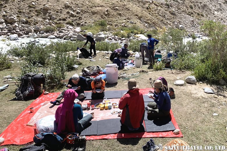
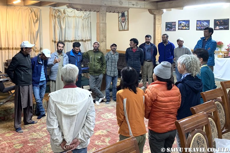
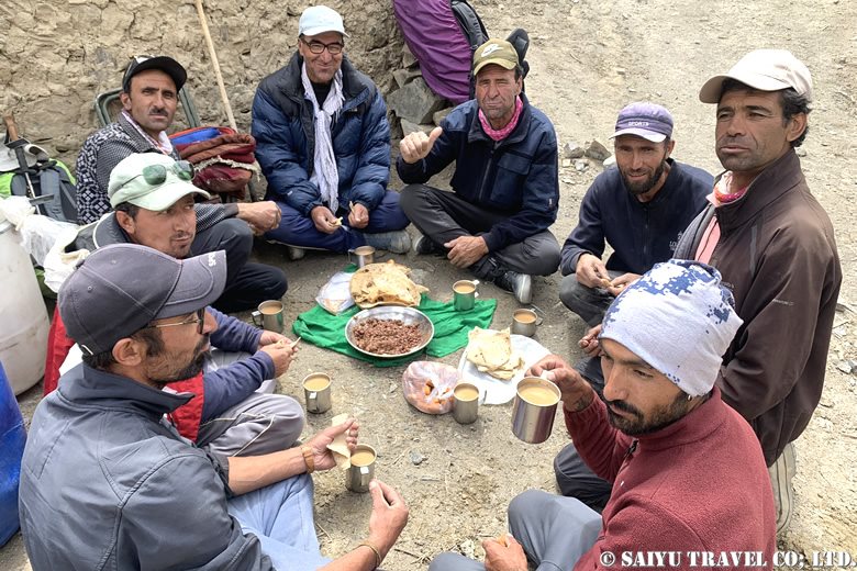
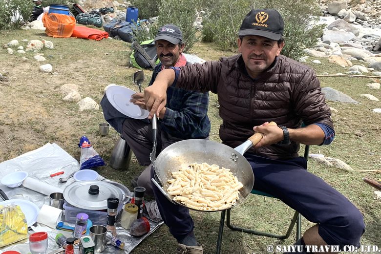
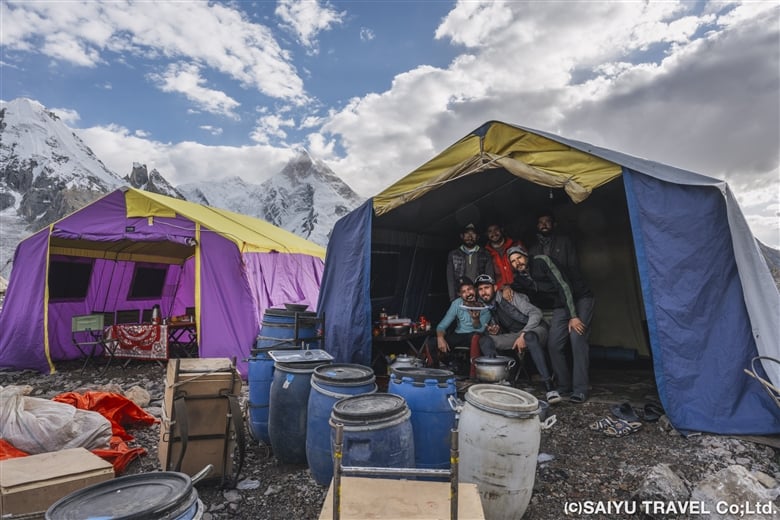
As on the outward trek, we walked for 3 hours on gentle moraines, passing army camps. After 1 hour of walking along the moraine & serac belt, we arrived at Concordia. At Concordia, the staff had set up camp in the exact same spot as our previous stay and had prepared a welcome drink and lunch for us. I have nothing but gratitude for them and their consistently prompt work.
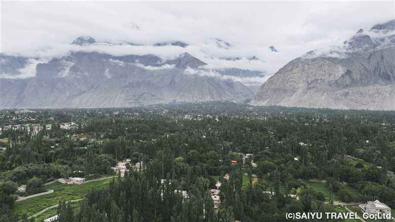
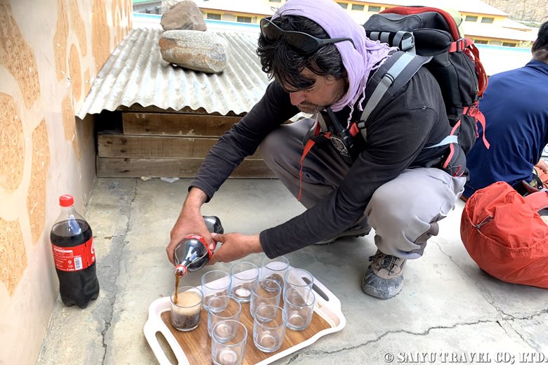
We then said goodbye to K2 from Concordia and retraced our outward route for another 5 days, ending our long trek in Askole. The entire trip took 17 days. At the finish line, the staff congratulated us and toasted us with drinks, in the form of Coke. Some of our members commented that they had never enjoyed a Coke so much in their lives. It must have been because of the overwhelming accomplishment they felt after walking all the way back. Thank you very much, everyone!
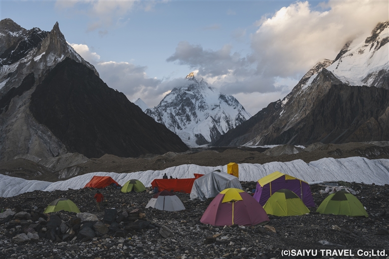
Photo & text : Teppei Kamitani
Visit : Aug-Sep 2024 Baltoro Galcier- K2BC
▼Related Articles
Youtube : CONCORDIA 360 DEGREE
Youtube : Our baltoro Trek in 1 Min !
K2 & Baltoro Glacier Trekking 2022 (Part 1) Skardu to Paiju
K2 & Baltoro Glacier Trekking 2022 (Part 2) Paiju to Khoburtse
K2 & Baltoro Glacier Trekking 2022 (Part 3) Khoburtse to Urdukas
K2 & Baltoro Trekking 2022 (Part 4) Urdukas to GoreⅡ
K2 & Baltoro Trekking 2022 (Part 5) GoreⅡ to Concordia
*Contact us, Indus Caravan for more information or to make arrangements for your Baltoro Glacier K2BC trek.
*Please follow us on Youtube, Instagram & Facebook
Category : - Baltoro Glacier & Concordia > - Baltoro Glacier & Concordia > ◆ Gilgit-Baltistan > ◇ Mountain of PakistanTag : Broad peak , Mitre , Baltoro , Urdukas , K2 , Gasherbrum , Indus Caravan , k2bc , Blaltoro glacier , Saiyu Travel , Goro 1 , Goro 2 , Concordia , Godwin Austen Glacier