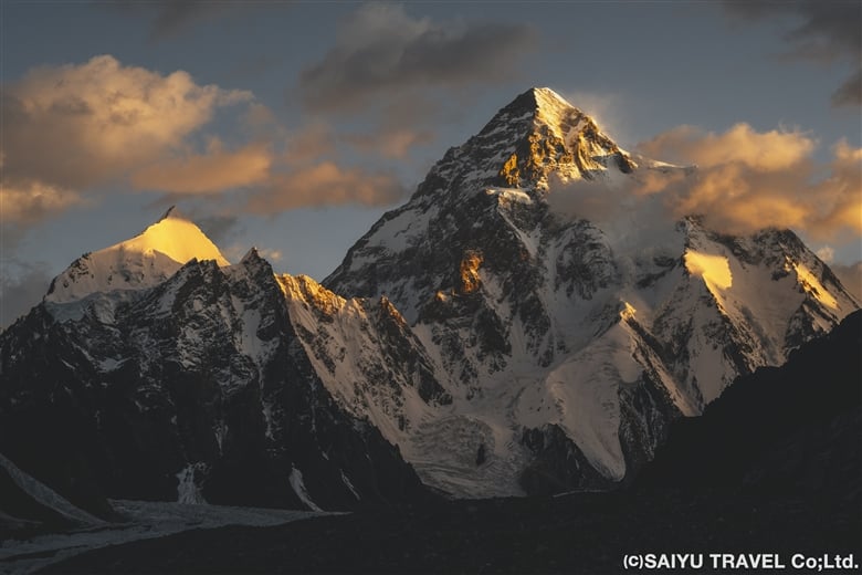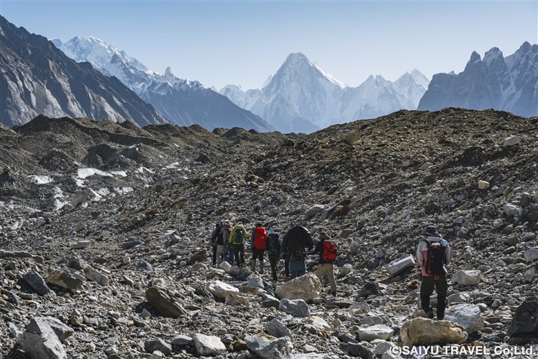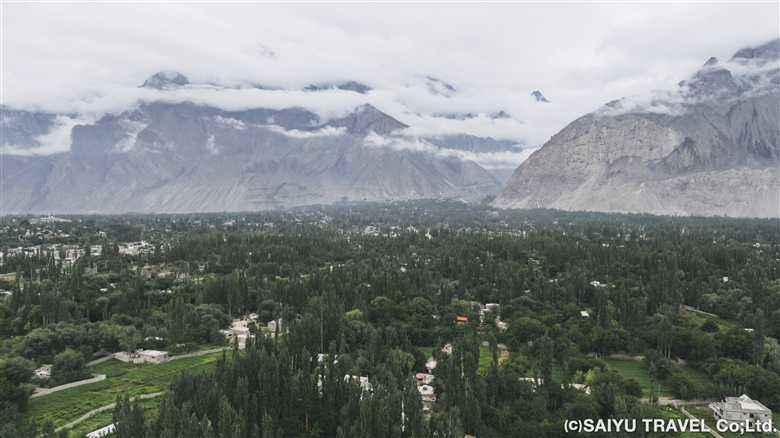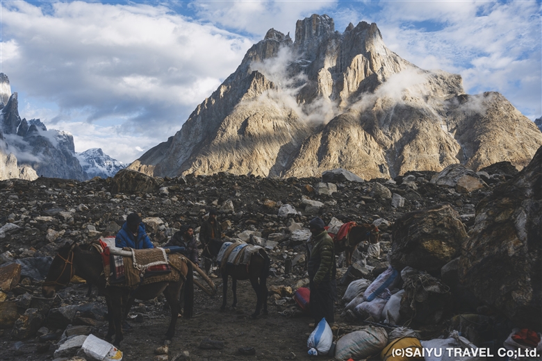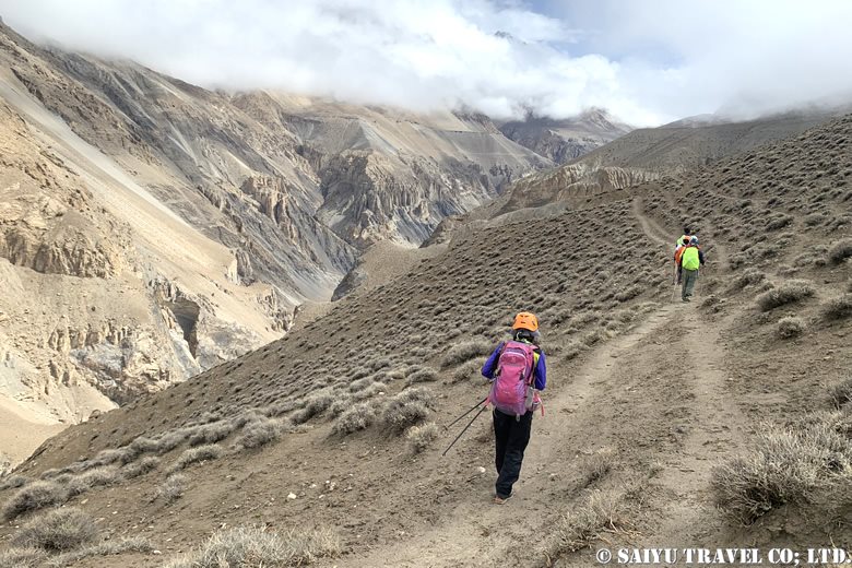

I’ve written multiple times about the rock carvings along the Indus River near Chilas, but I’d like to do so again today and introduce to you some additional carvings located around Skardu and the upper Indus Basin, in the Baltistan region.
Interestingly, Baltistan has fewer known archaeological sites compared to other northern areas of Pakistan. Some archaeologists suggest one reason for this is that during the heyday of archaeological exploration by British India, this region was left out of the expeditions of Sir Aurel Stein, an archeologist who primarily explored Central Asia.
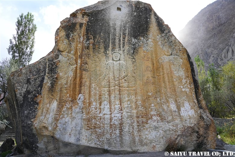
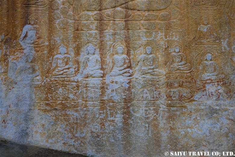
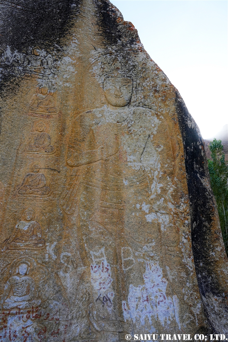
If you visit Skardu, one of the first places you’ll want to see is the Manthal Buddha Rock.
This 9th-century Buddha relief represents a style from the later “Golden Age of Buddhism,” which flourished in the upper Indus River Basin from the 8th to the 10th centuries. Carved into a large rock, the relief depicts the Buddha performing the bhumisparsha mudra gesture, and is surrounded by 20 smaller seated Buddha and two standing Maitreya Bodhisattvas.
On the left side of the rock is another Buddha carving accompanied by two Maitreya Bodhisattvas. A small swastika is also carved into a rock on the ground. On the back of the main rock, a stupa is carved into a separate stone.
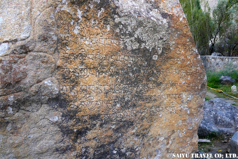
The rocks contain inscriptions that were deciphered by A.H. Francke, a German scholar of Tibet. These valuable inscriptions date back to around 1000 CE. Scholars worked to record their content before they deteriorated further, as they represent a rare and precious record of the Balti language written in Tibetan script.
<English Translation of the Deciphered Portion>
Of the offering … this secret collection (Buddha’s religion)
as it will be taught for a long time…; as many are lost through death, all men should,
showing devotion, offer very many prayers ; henceforth for ever the faithful ones
[should] from time to time [make] the colours [of] the sculptures bright,
and make a cleaning [or, and clean] the place of offering that it may not decay.
Preaching perfection with body, speech, and mind, on this firm medallion here … the five [Buddhas] in the middle (surrounded by..) through mercy it originated from me [called] Great-hand…
the very good Samantabhadra.. (row?) (mother?) (earth?) to cut…
Salutation to the three gods! offering; children (or riches?) of men, and… of the teaching which is firmer than anything … body (or statue) … of the magnified… it was looked for by him with trouble outsiders or insiders (Buddhists or Non-buddhists )…
from this medallion, which has been shown since a long time, is very long (?) …
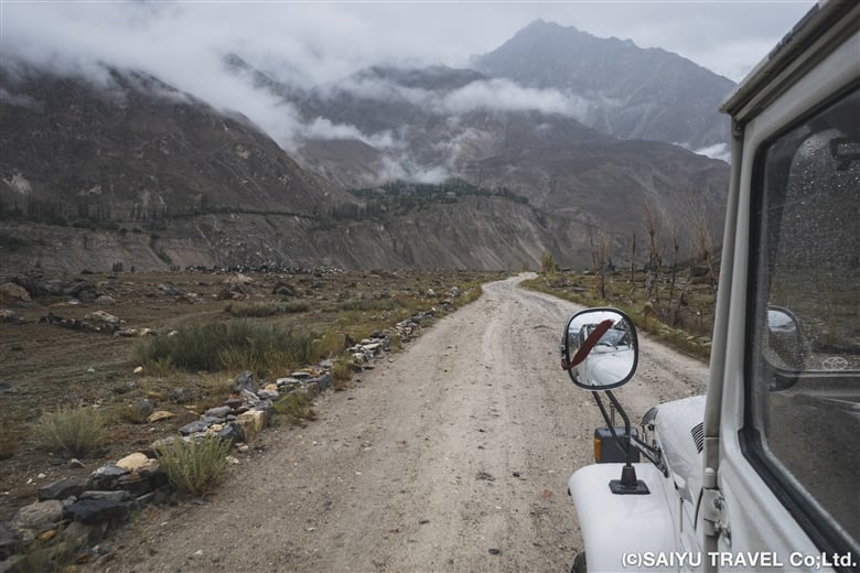
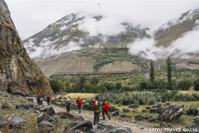
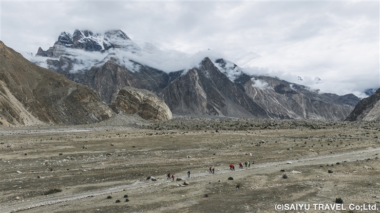
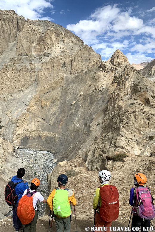
While the Manthal Buddha Rock is located near the town of Skardu, there are also petroglyphs found along the Indus River and its tributaries.

Here are some petroglyphs found along the Indus River in Goal. Some late-period Buddhist stupas are carved on top of an older image of ibexes. Though there are other rock carvings in Goal, sadly, those along the main road have been heavily defaced with graffiti.
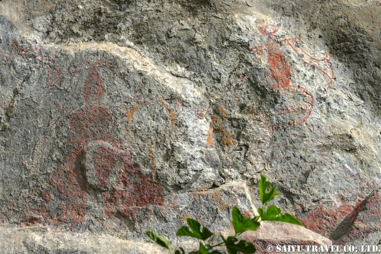
Rock paintings have been found in the village of Nar. Unfortunately, most of them have been lost. When they were first discovered, however, they looked something like the images below.

The above image is a sketch from the time of the paintings’ discovery. It seems to show three stupas in the Tibetan style and people worshipping them. Unfortunately, only some parts of the stupas are visible now.
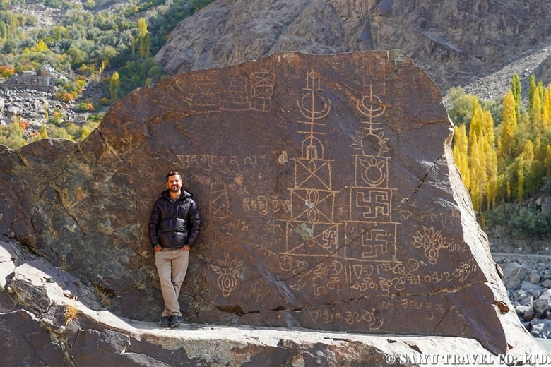
Now that a sign has been put up on the main road, more and more people are visiting the petroglyphs at Balghar. Two large stupas, typical of later Buddhist periods, are decorated with sacred Bon and Buddhist symbols like the swastika, yundrun (reverse swastika), tridents, and lotus flowers. You can also see mantras inscribed in Tibetan script and an undeciphered script that resembles later Brahmi and Gupta scripts.

There are also petroglyphs in the village of Yugo, located along the Shyok River, a tributary of the Indus. Though they have been heavily vandalized with graffiti, these are in fact supposed to be carvings of stupas from the late Buddhist period.

More petroglyphs in the village of Yugo, featuring a stupa situated on a bed of lotus flowers with auspicious motifs.

As you travel further along the Shyok River, you’ll arrive at the village of Khaplu. This area played an important role in protecting the trade route to Ladakh. While we were walking through Khaplu’s summer village of Hanjoor, searching for petroglyphs, we found a rock inscribed with the old Tibetan mantra “Om Mani Padme Hum” right on the path. Finding such a powerful prayer from an ancient trade route was an incredibly moving experience!
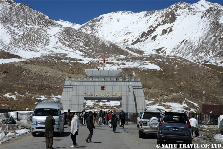
Many places of the border area between Baltistan and India are restricted for foreigners, which makes me wonder if there might be new discoveries to be made once we’re allowed to go there.
Image & Text : Mariko SAWADA
*Please follow us on Youtube, Instagram & Facebook
Category : ◆ Gilgit-Baltistan > - Indus river bank > - Skardu ValleyTag : Ibex , Shigar Valley , buddhist art , Buddhist remains , Indus Petroglyphs , #IndusPetroglyhs , Indus Caravan , Indus Rock carvings , Manthal Buddha Rock , Skardu , Silk Road