English / Japanese

Shimshal Pamir & Summiting Minglik Sar (6,050m), Part 2

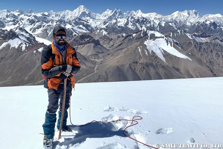
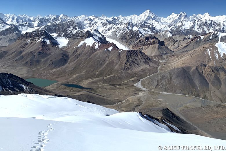
ミングリク・サール山頂付近から望むヒスパー・ムスターグ山脈
Hispár Mústag mountain range seen from near the summit of Minglik Sár.

The following is a documentation of the second part of our Shimshal Pamir mountain journey in Aug-Sep 2024, tracing the route from the ascent of Minglik Sar (6,050m) to the return to Shimshal village.

Click here for Part 1.

Day 7: Summit of Minglik Sar (6,050m)

At midnight, the first and second parties left Minglik Sar B.C. The temperature outside was -7°C. We continued walking, using walkie-talkies to communicate with each other. We moved on, checking our footholds with headlamps. Step by step, we climbed up the steep gullies.

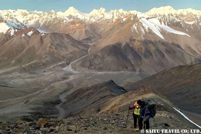
We arrived at the top of the ridge (about 5,320m). The first and second parties met, and the second party passed ahead. Soon after the sun came up and the landscape changed. After a rocky ridge, we arrived at a direct climbing spot on a snowy surface.
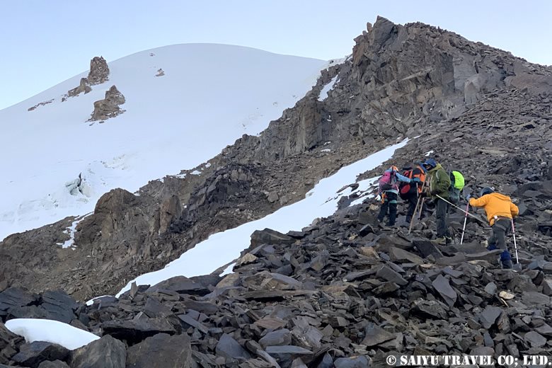
ガレ場の急登稜線を越えると、まもなく雪面へ
After crossing a steep ridge in a gully, we soon reached the snow surface.

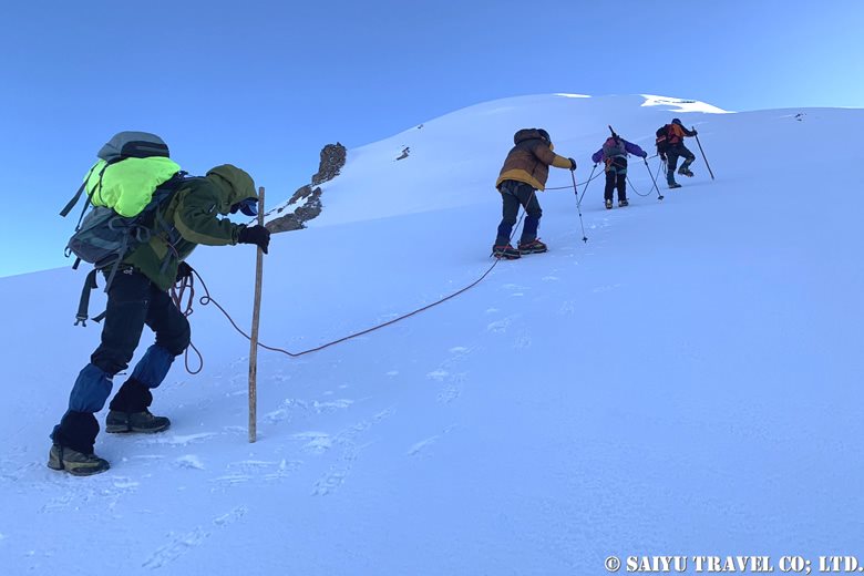
Here we put on crampons and roped up in preparation for our push to the summit. The leading guide kick-stepped ahead and left tracks for those following behind. With the stunning mountain range in the background, we aimed for the summit step by step. K2 was now visible on our right!

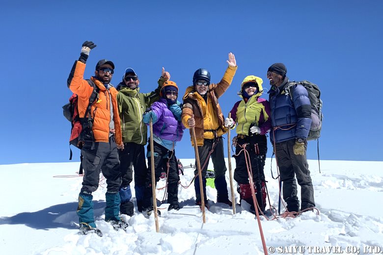
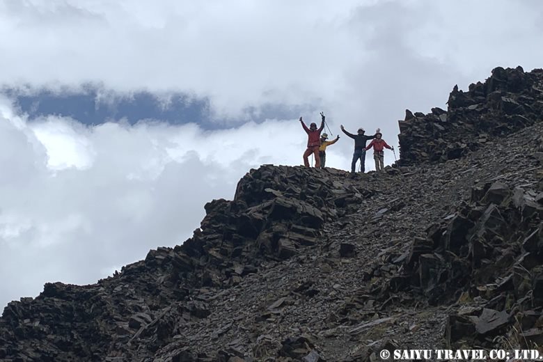
After crossing a total of three crevasses, we finally reached the summit. The second team was there waiting for the first to arrive!
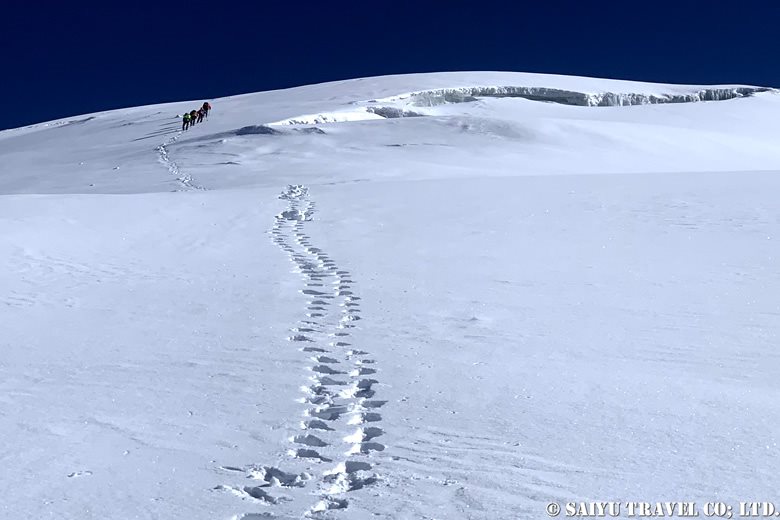
After crossing a total of three crevasses, we finally reached the summit. The second team was there waiting for the first to arrive!

一歩一歩着実に頂上を目指す
Reaching the summit steadily, step by step.
果てしなく感じた頂上への登り 前方に先行したセカンド隊
The seemingly endless climb to the summit. Second party ahead of us.
山頂付近より ヒスパー・ムスターグ山脈の素晴らしい展望
From near the summit-top, wonderfull view of the Hisper-Mustagh mountain
遂に、ミングリク・サール(6,050m)登頂!!!
Summit of Mingrik Sar (6,050m)!
絶景を噛みしめます
Surrounded by spectacular scenery

As we continued, the hard, compacted snow had softened and made for an easier descent, but we couldn’t afford to let our guard down. We descended step by step. We could see B.C. below us, but it seemed far away.
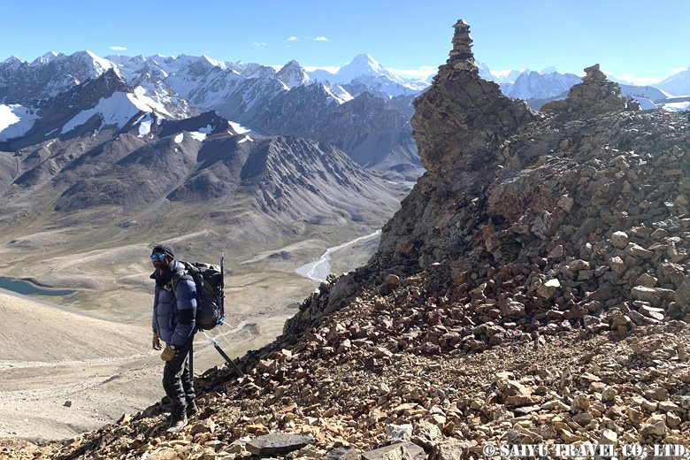
慎重に下ります
View on the way down

After a nerve-wracking descent, complete with stumbling climbers and falling rocks, the last member returned to B.C. just as the sun was getting ready to set… It was a long haul, but everyone’s hard work paid off!

Day 8: B.C. (4,730m) to Arbob Paryen (3,900m)

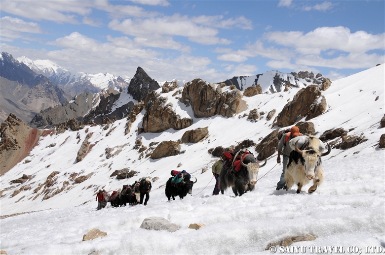
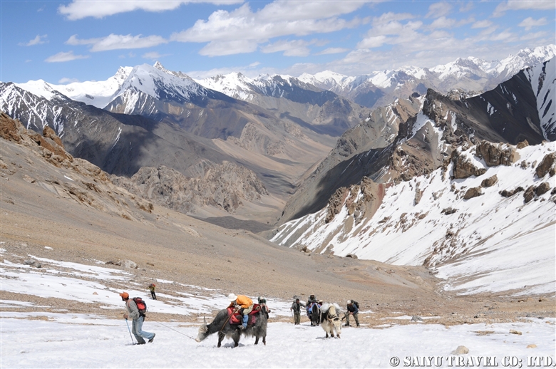
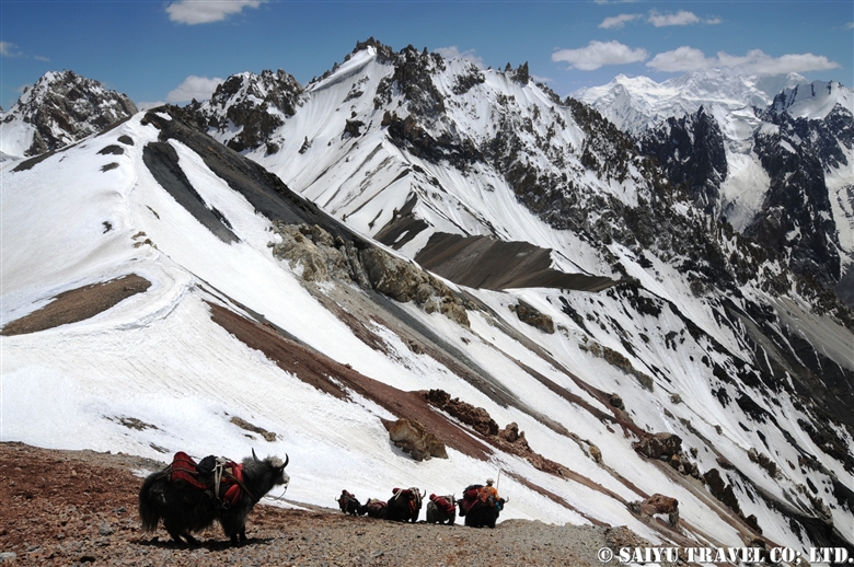
The next morning, I woke up to the sound of yak calls. Continuing from the previous day, we started our descent under a clear blue sky. We retraced the same route as the upward journey.
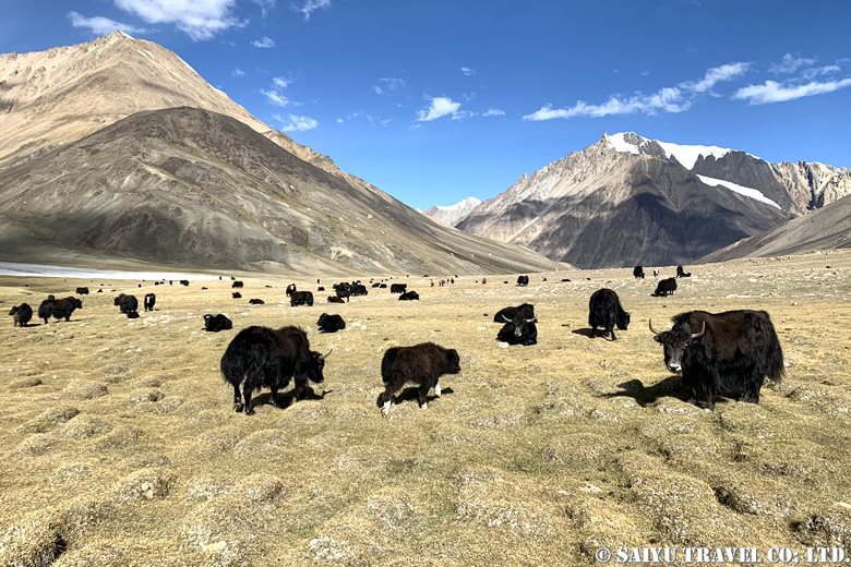
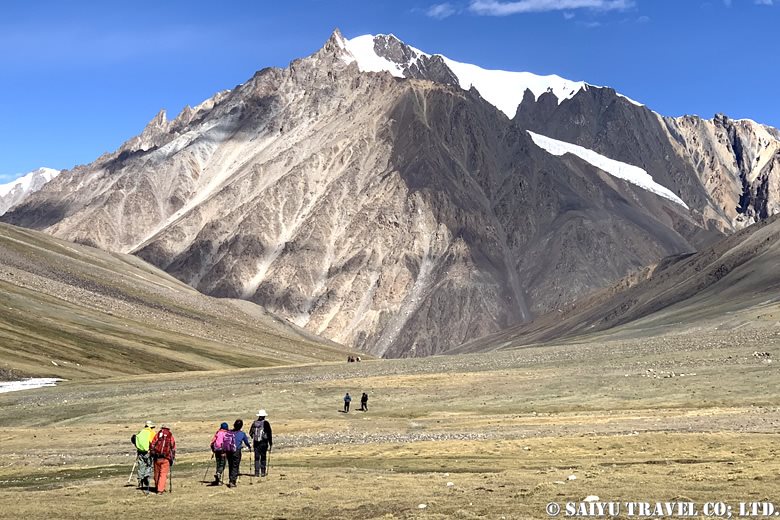
ミングリク・サールB.C.の朝
Morning at Minglik Sar B.C
アルバ・プリエン(3,900m)を目指す
Walking towards Arbob Paryen(3,900m)

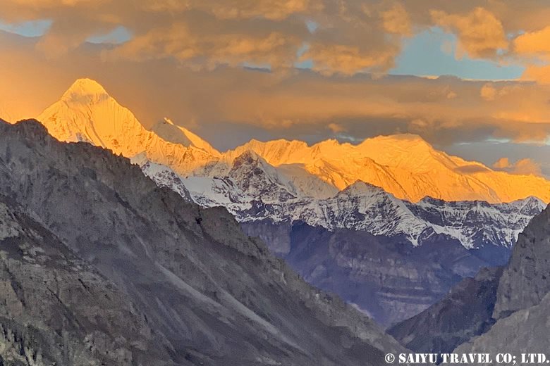
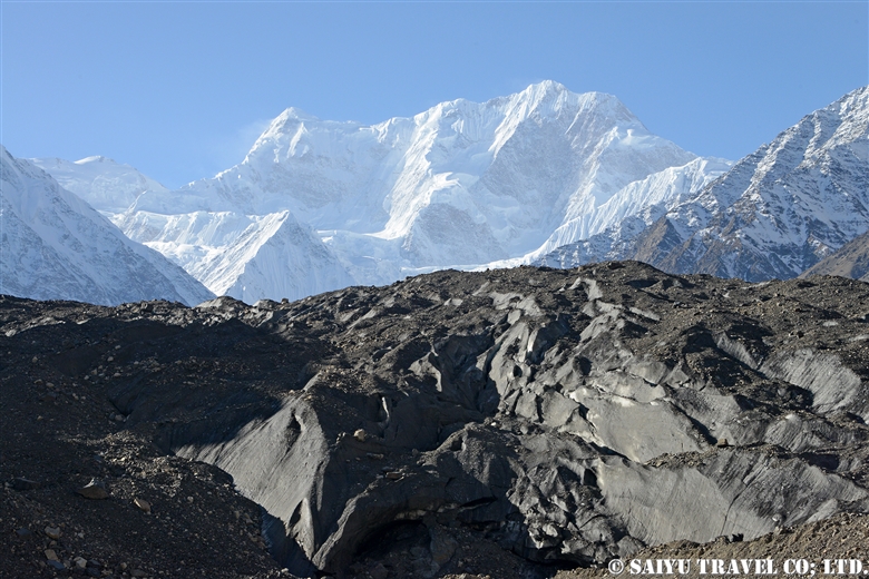
On the way down to Shuw Jerab, we saw the west face of Shispare (7,611m) on our left.
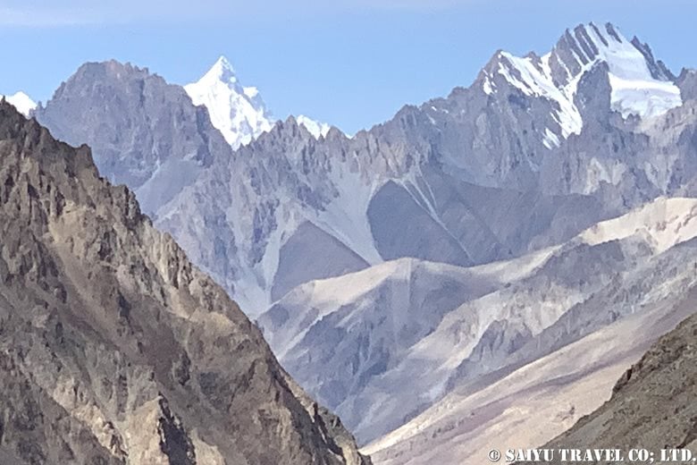
シスパーレ(7,611m)西壁
The west face of Shispare (7,611m)

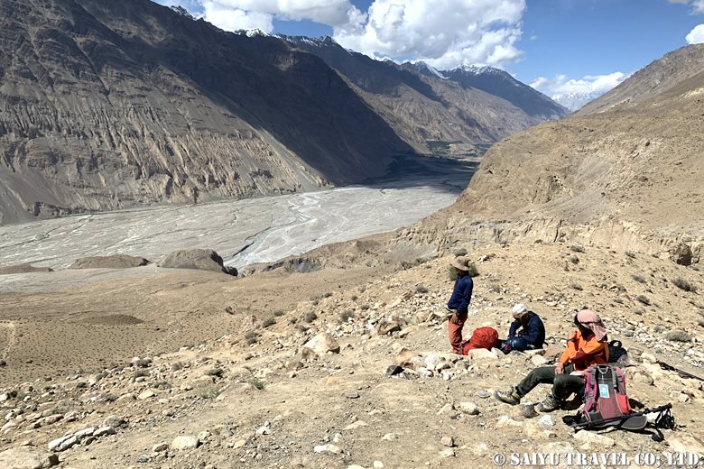
We took a break at Chikor. The team also took some time to relax.
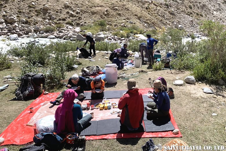
チコールにて休憩 リラックスムードが漂う
Lunch at Chikor

We safely passed through a zone of falling rocks and arrived at a campsite with reddish soil in the evening. We had entered an area below 4,000m in altitude, and the air suddenly felt thick and warm.

Day 9: Arbob Paryen (3,900m) to Past Furzin (3,550m)

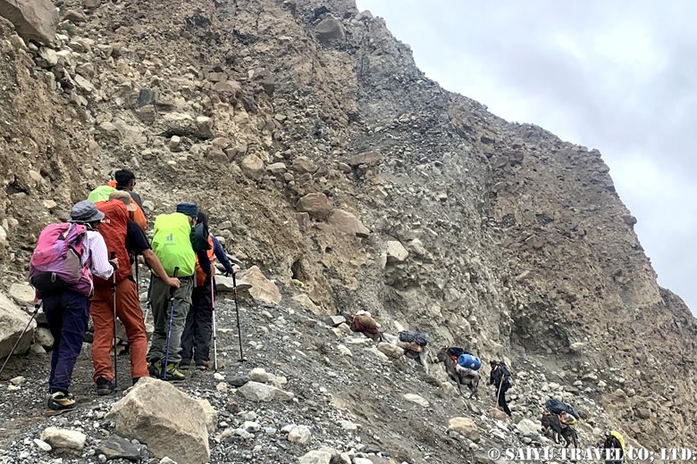
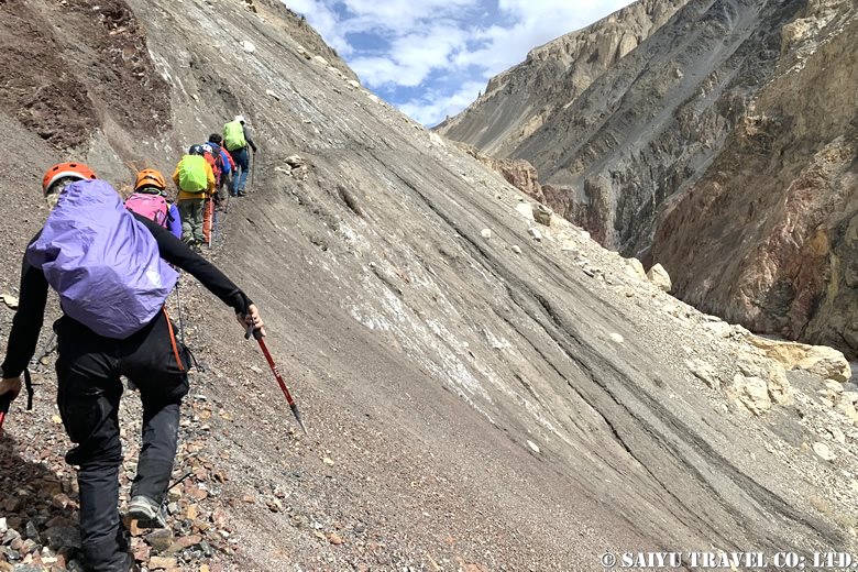
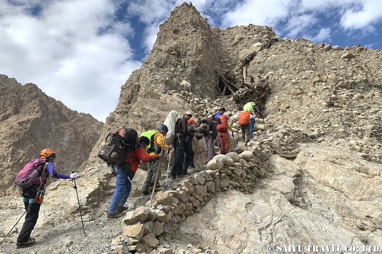
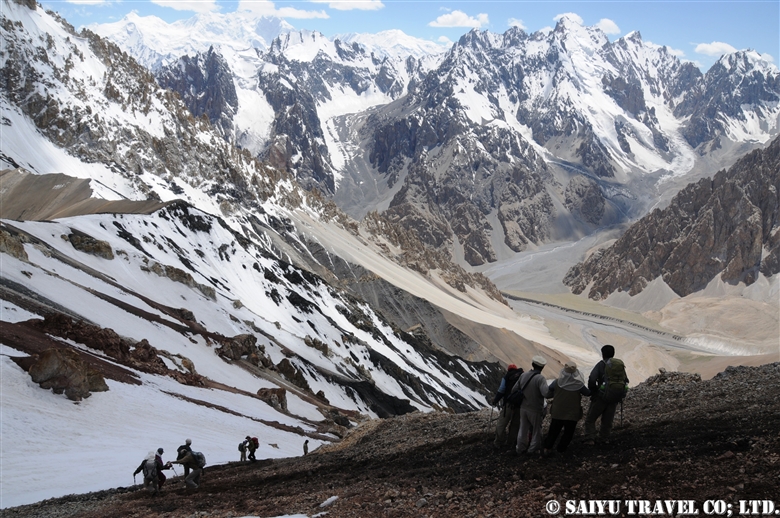
Today’s agenda was to climb up from the campsite in the hollow valley terrain and head towards the core area. There were dangerous parts on the descent that were more difficult than the ascent, so there was always a sense of tension in the air.
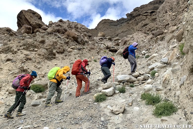
パスト・フルズィン(3,550m)へ
To Past Fruzin(3,550m)

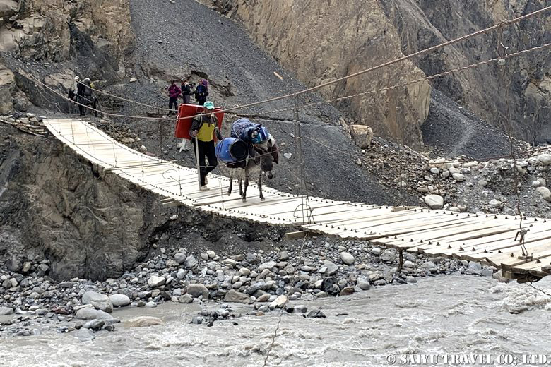
From Paryen Sar (3,850m) to Paryen Ben, and from there to the suspension bridge before Wuch Fruzin, we steadily descended with man-to-man support. As the lower part of the route came into view the route grew tougher both physically and mentally, but we all made it through safely.
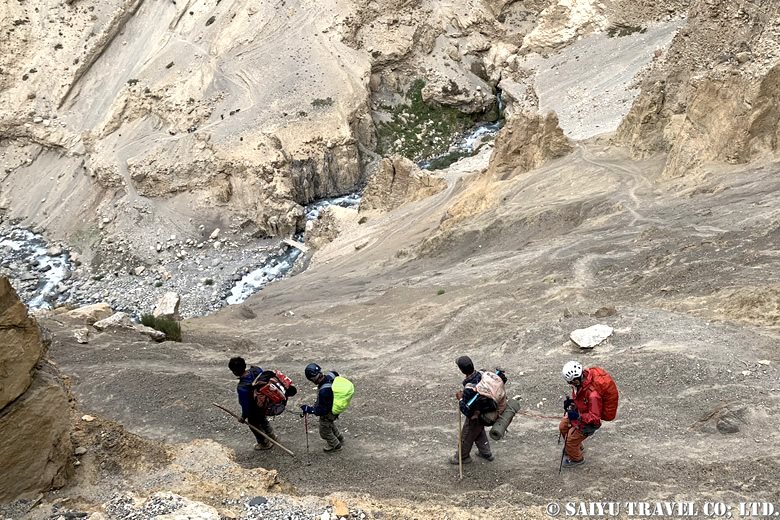
緊張感のある下りが続く
The tension-filled descent continued

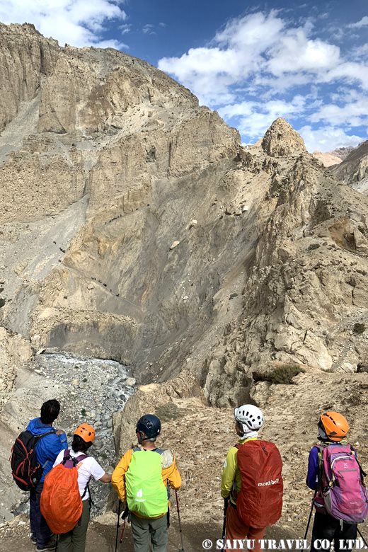
After that, we continued on the narrow cliff path to Past Furzin (3,550m).
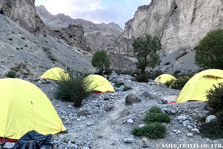
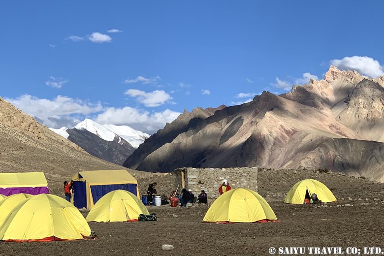
パスト・フルズィン(3,550m)のキャンプ地
The camp at Pat Furzin(3,550m)

Day 10: Past Furzin (3,550m) to Shimshal Village (3,100m)

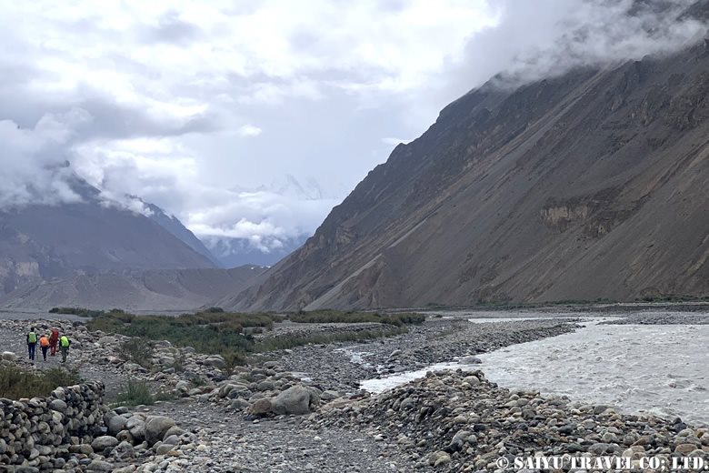
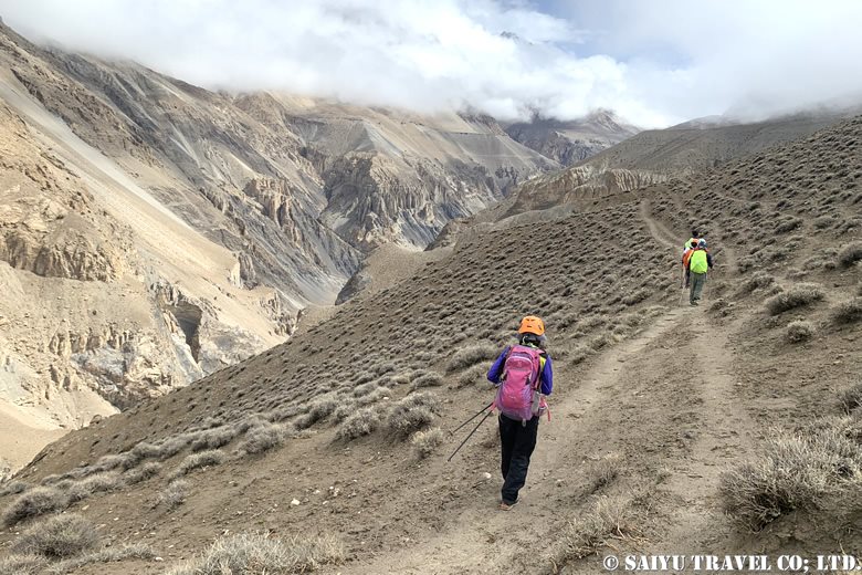
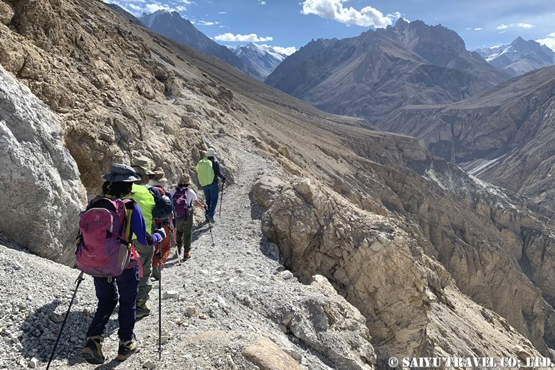
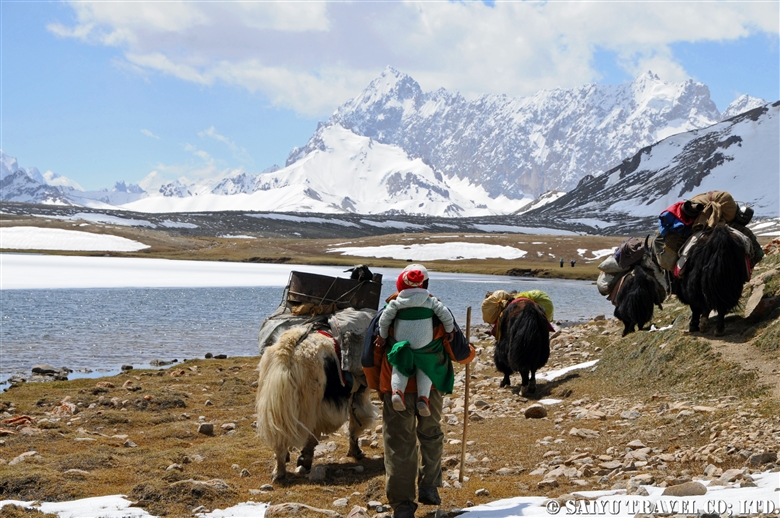
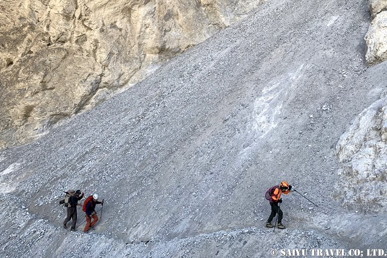
After the summit day, the weather improved and we had a clear day for our final march. We patiently continued along the cliff path, and finally the view ahead of us began to open up. We arrived at our first day’s campsite, Ghar-e-Sar (3,670m). From here, we walked to the river at our own pace.
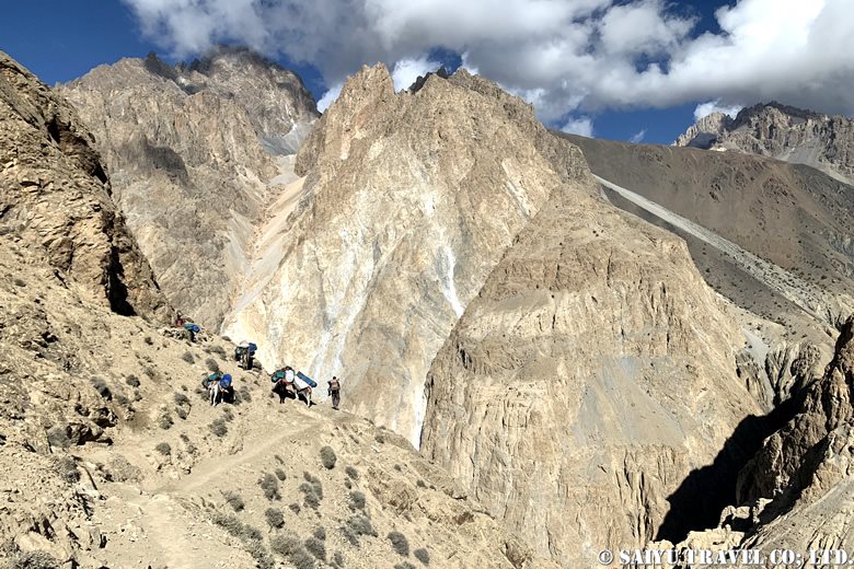
トレッキング最終日。シムシャール村(3,100m)へ!
The last day of trekking. Heading for Shimshal Village (3,100m)
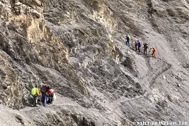
崖道を進む
Continue along the slading area
初日のキャンプ地ガ ーレ・サールに到着
Arrival at Ghar-e-Sar, the camp site on the first day

And at last, we could see the village of Shimshal! After the cliff path, we went down to the riverbed. After having our final lunch at the hut, we walked along the flat path towards the village.
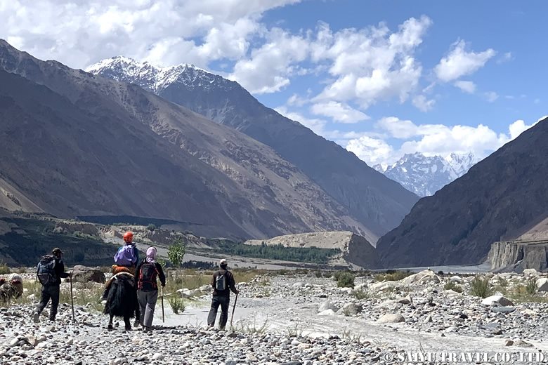
川のむこうはシムシャール村!
The other side of the river is the village of Shimshal

Our Shimshal Pamir mountain trip seemed long but passed quickly. We arrived at the village, reluctant to leave the steep approach and the cold of the high-altitude camp. We were given hot water in a large bucket and were able to refresh both our body and mind.
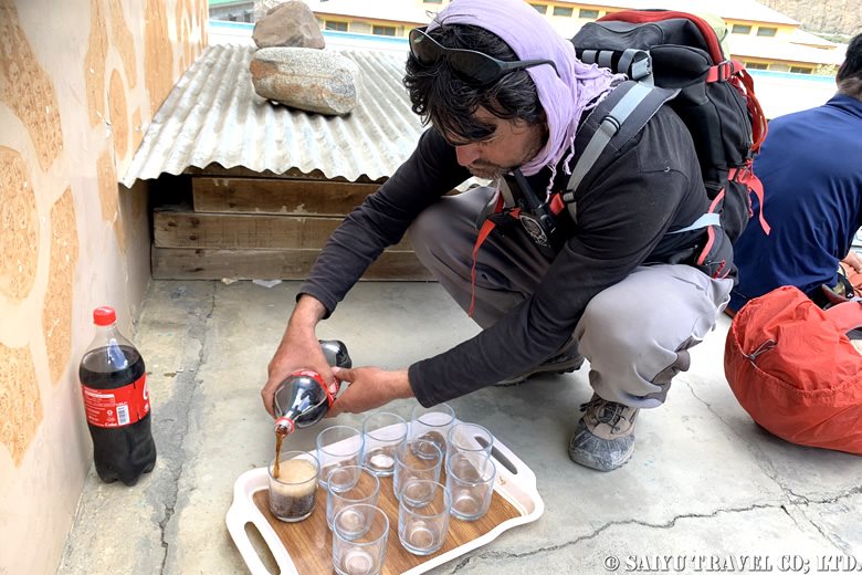
コーラで乾杯の準備
Get ready to toast with Coke!

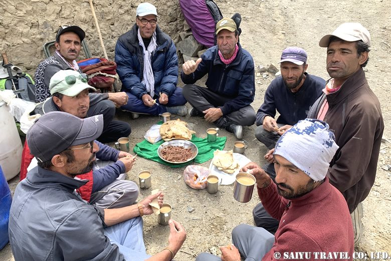
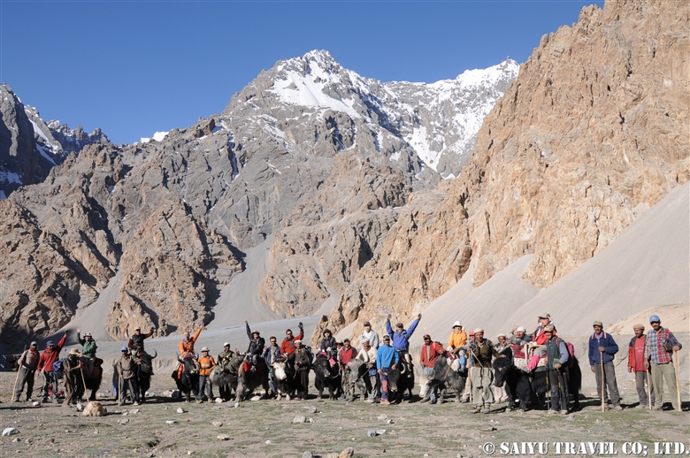
The guides and porters who had looked after us visited us for dinner and we had a farewell party.
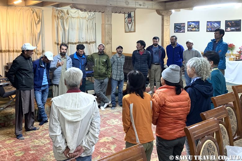
お別れの儀
Saying farewell

The ten-day trek seemed long, but it passed in an instant. It was not an easy mountain climb, but the view from the summit was exceptional, and the sense of achievement after all the hard work was great, making it a special experience that could never be had anywhere else, on any other route.


Photo & Text : Osamu KUSUNOKI

Visit : August 2024, Shimshal Pamir, Shimshal, Gilgit-Baltistan


▼Related article

Shimshal Pamir: Will you try the Kuch? I did!

Where is Shimshal Pamir?

”Kuch”, a summer in Shimshal Pamir

★★★★★

*Contact us, Indus Caravan for more information or to make arrangements for visiting Shimshal Pamir.

👉Follow us on YoutubeInstagram & Facebook

Category : ◆ Gilgit-Baltistan > ◇ Mountain of Pakistan > - Shimshal
Tag : , , , , , , , , , , , , , ,

Shimshal Pamir & Summiting Minglik Sar (6,050m), Part 1

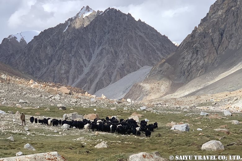
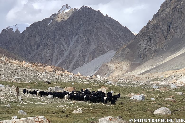
シュイズへラブで放牧されるヤクたち
Yaks grazing at Shuw Jerab

The following is a report on a journey to the 6,000m peak of Shimshal Pamir from late August to September 2024. Shimshal Pamir is known as “Karakoram’s no man’s land,” and is rarely visited by trekkers. I personally first visited in the summer of 2011, and since then I have returned to this place every year.

The area is a harsh wilderness where the Wakhi people graze their goats, sheep and yaks by moving from one pasture to another. In the past, they also made dairy products on the move, but this is no longer practiced. On the Shimshal Pamir expedition, you can get a glimpse into the summer pastoral life of the Wakhi people. In fact, just starting from Shimshal village and visiting this summer pasture is a strenuous trek, but the climb to the 6,000m peak that awaits beyond is a very satisfying route which provides a tremendous feeling of achievement.

>”Kuch”, a summer in Shimshal Pamir

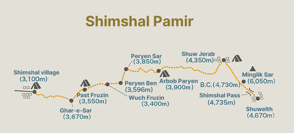
Shimshal Pamil Map

Day 1: Shimshal Village (3,100m) to Ghar-e-Sar (3,670m)

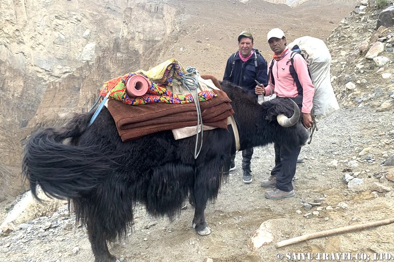
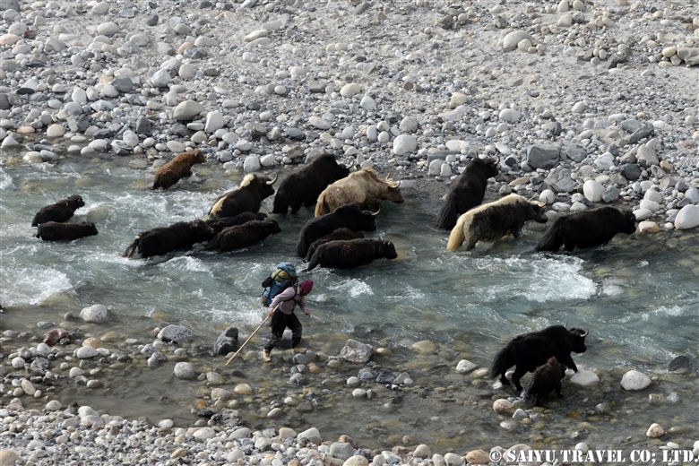
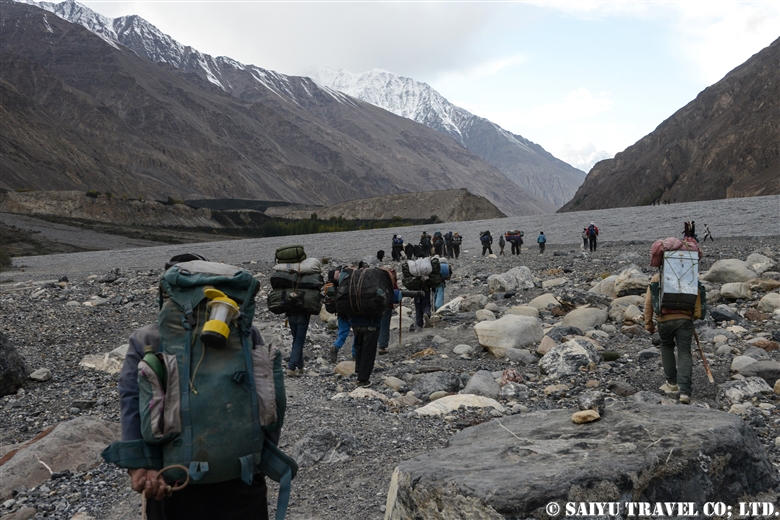
The first day started in Shimshal village, as we headed towards the Ghar-e-Sar (3,670m). We crossed a small suspension bridge (Michael Bridge) and walked straight along the Shimshal River with the end moraine of the Yazghil glacier in sight. Although the path is flat, there are some difficult sections due to the large stones along the riverbank. The river water level was high at this time, and the yaks were given ropes from the other side of the river to pull them across.

ヤクに乗って移動することもできます。「ヤク・サファリ」と呼ばれています。
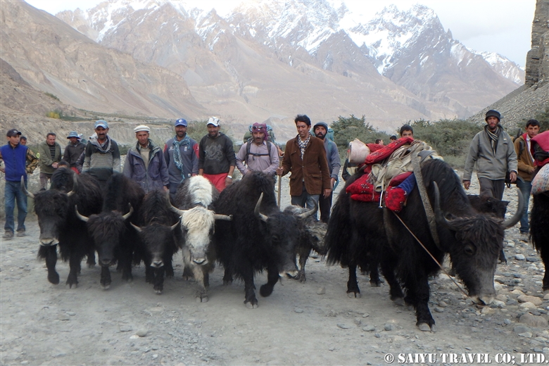
Yak rides are also available. It is known as a ‘yak safari’
ヤズギール氷河のエンドモレーンを眼前に望みムシャール川沿いを直進
Walk straight ahead along the Shimshal river with the end moraine of the Yazghil glacier in sight

We crossed the river at the bridge at the point where the Shimshal and its tributary, the Pamir Tang, meet, and had lunch at the hut beyond. After this began the steep climb up. It still being the first day, our legs and feet hadn’t quite gotten used to the climb yet.

急登が始まります
Steep climb started

Gradually, the angle from which we looked down at Yazghil glacier changed, and after a while we reached a campsite with a nice view. As the sun set, we could see the village of Shimshal in the evening.

Day 2: Ghar-e-Sar (3,670m) to Peryen Sar (3,850m)

谷を見下ろしながら歩く
Walking, overlooking the valley

From here, we walked on cliffs and the somewhat dangerous parts of the landslide zone. The tense climb made us feel even more fatigued. Eventually, after descending a steep valley, the campsite at Past Furzin (3,550m) came into view. Further along the cliff path, we reached Wuch Furzin (3,365m), where we took lunch.

ウッチ・フルズィンにて休憩
Lunch at Wuch Furzin

After crossing the suspension bridge to the other side of the river, we made a perilous trek to Prien-e-Ben (3,596m). The route was nerve-wracking, but we made it safely to a point overlooking the valley.

吊り橋をわたり対岸へ
Cross the suspension bridge to the other side of the river
危険なトラバース
perilous traverse
プリエン・ベンを見下ろす展望地から、右上のコル(パスト・ダルワザ)まで ジグザグに急斜面を登る先行ポーター組を眺める
View of porters ahead of us zigzagging up the steep slope

Finally, the treacherous ascent with an elevation difference of about 320m lay before us. To prevent slipping, we climbed step by step, one by one, accompanied by the locals.

標高差約320mの登り
An ascent with a 320m height difference from top to bottom

After a successful ascent, the path led to Past Darwaza (Lower Gate), which featured a gate made of stone. Continuing up the stone and wooden steps, using our hands, we reached the Wuch Darwaza (Upper Gate). We arrived at Prien-e-Sar (3,850m), where we stayed overnight. We had successfully crossed the crux of the approach. The peak of the Minglik Sar was now visible ahead.

パスト・ダルワザ(下の門)
Past Darwaza (Lower Gate)
プリエン・サールのキャンプ地 左奥にはミングリク・サール(6,050m)の頂上がみえる
Peryen Sar campsite. The peak of Minglik Sar (6,050m) can be seen at the far left

Day 3: Peryen Sar (3,850m) to Shuw Jerab (4,350m)

Today, we set our sights on Shuw-Jerab. In the morning, White Horn (6,400m, left) and Distaghil Sar (7,885m) were shining in the sunlight.
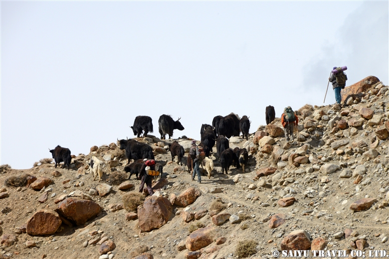
朝日に輝くディスタギル・サール(7,885m)とディスタギル・サール(7,885m 影がついている奥の峰)
Distant view of Distaghil Sar (7,885m/left)

Unlike yesterday’s route, today’s was far more wide and open. We continued to Arbab Prien (the campsite on the way back) and crossed the confluence of the Shuw-Jerab and Ganji-Dor rivers.
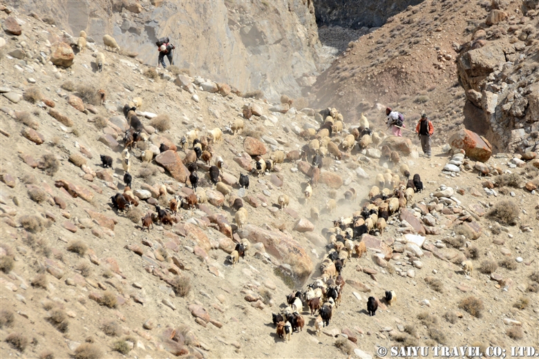
川の合流地点を目指す
Head to the confluence of the Shuw-Jerab and Ganji-Dor rivers

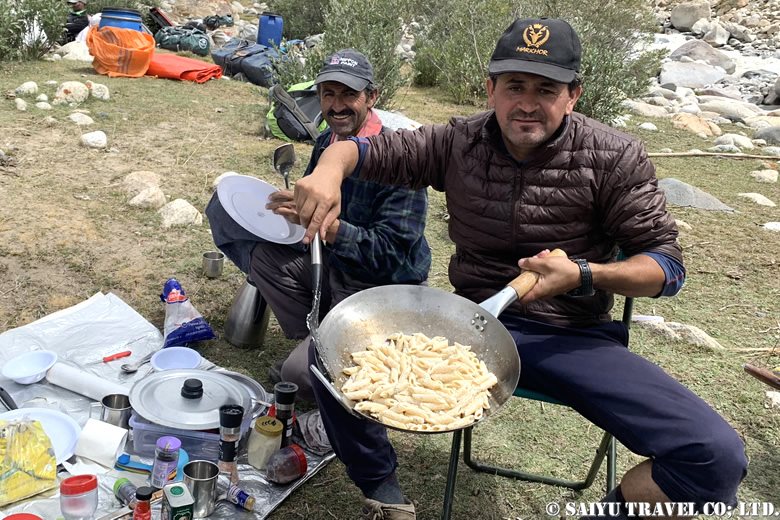
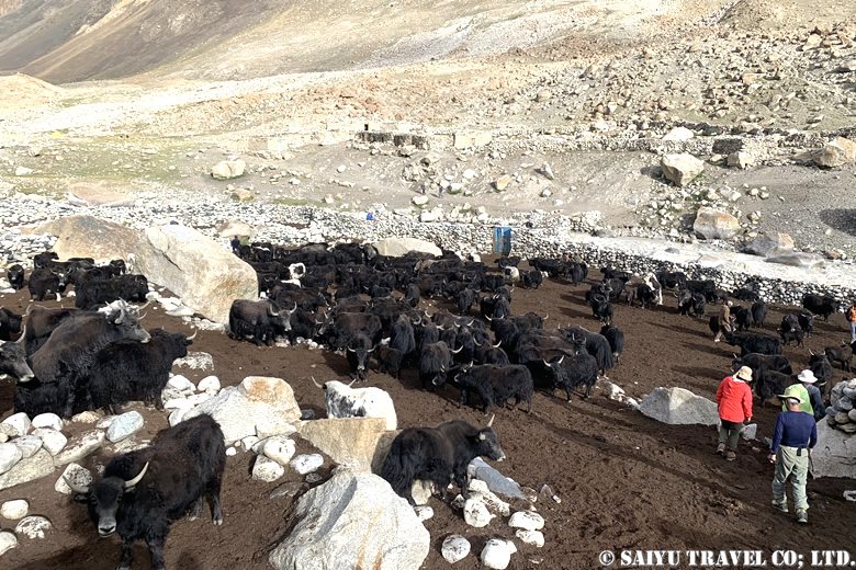
We had lunch at a place near a willow tree. Continuing along the Shuw Jerab river, we came across some yaks being herded as we approached the summer village. Shuw Jerab is a summer village and pasture where goats, sheep and yaks brought up from Shimshal village spend the summer grazing.

チコールでパスタランチ
Our mountain chef, Noor Khan,  preparing a pasta lunch
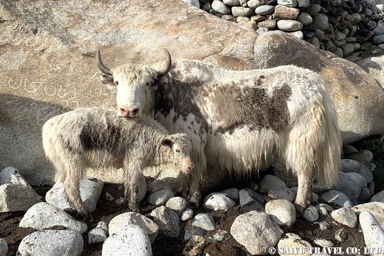
Yak mother and baby

Day 4: Stay at Shuw Jerab (4,350m)

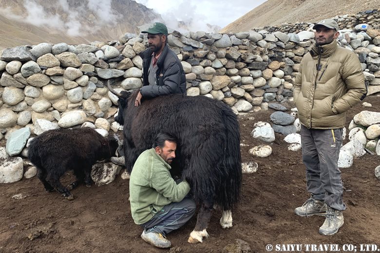
Today was our day off. We experienced the summer life of the Wakhi people in the Pamirs, including milking yaks and visiting their summer residences. I noted that, compared to goats and sheep, yaks have a certain impressive aura about them.

家畜とともに生きるワヒ族の暮らしを見学
The lives of the Wakhi people who live with livestock
ヤクの乳絞り体験
Milking a Yak
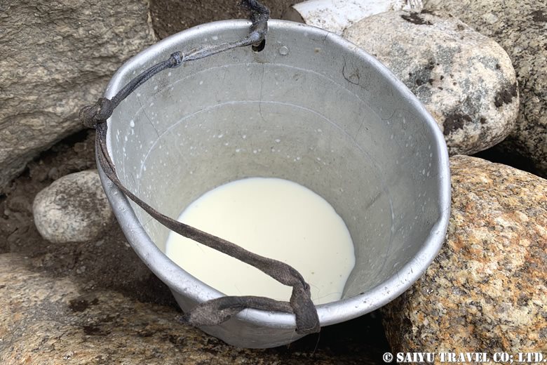
ヤクミルク
Yak’s milk

After that, we hiked to Guruchinwashuk-Sam (4,600m) on the neighboring hill for altitude acclimatization. This was an ascent of 250m. It also served as a practice run for the exposed rock zones which we would be climbing on the day we head to the summit.

グルチンワシュク・サムの丘にて
Guruchinwashuk-Sam (4,600m)

Day 5: Shuw Jerab (4,350m) to Minglik Sar B.C. (4,730m)

It took about 3 to 4 hours to get to Minglik Sar B.C. On the way, we passed Minglik Sar on our left. Depending on the angle, it looks like a gently sloping mountain, and at its foot are two lakes, Zak Zoi and Lup Zoi. This time, we set up camp at B.C. along Zak Zoi.

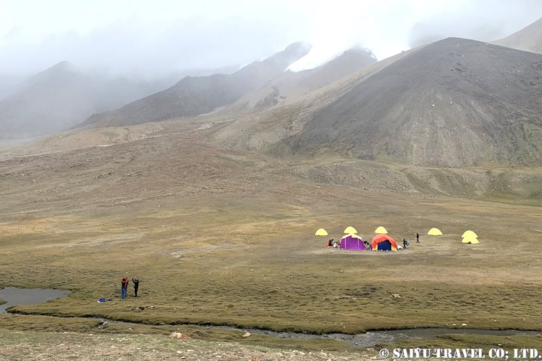
ザック・ゾーイ沿いにB.C.を設置
B.C. set up on the shore of Zak Zoi

The weather forecast said it would improve from the next day, so we decided to take another day to get used to the altitude. Meanwhile, we cooked the sheep we had bought in Shuwerth for 40,000 rupees and enjoyed it alongside some Japanese curry.

Day 6: Stay at Minglik Sar B.C. (4,730m)

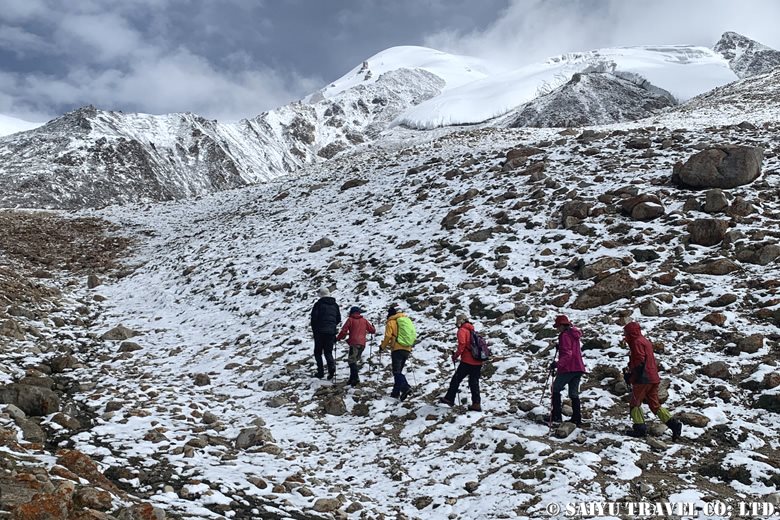
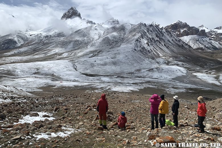
In the evening it started to snow, and the base camp was transformed into a winter wonderland. It also became very cold—the temperature dropped below freezing. I thought we wouldn’t be able to make any progress, but the snow stopped, so we went on a high altitude acclimatization trek, which also gave us a chance to inspect the climbing route. The sun came out and we could see that the weather was gradually improving. The snow on the ground was also melting.

高所順応トレッキングに出発!
Trekking to acclimatize to the altitude.
高所順応途中(約4,000m)にB.C.方面を振り返る。
Looking at B.C. at altitude of 4,000m。

In the afternoon, we checked our equipment and relaxed. Those who wanted to move around more visited the summer settlement of Shuwelth.

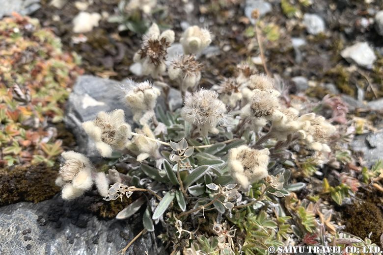
ウスユキソウ属の花も逞しく咲いている
Flowers of the genus Leontopodium
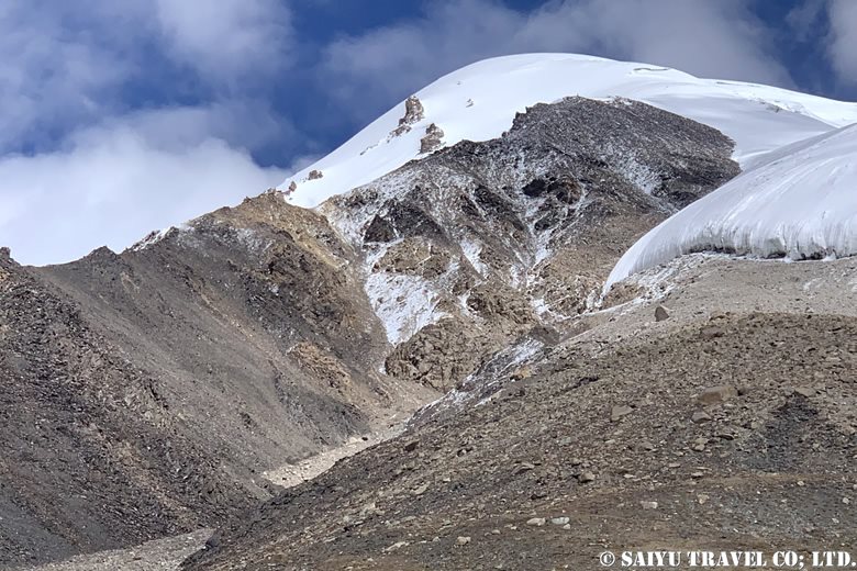
B.C.(4,730m)から望んだミングリク・サール(6,050m)
Mingliq Sar (6,050m) viewed from B.C.

We can clearly see Minglik Sar, and our expectations rise.
To be continued in the second part…

Photo & Text : Osamu KUSUNOKI

Visit : Aug-Sep 2024, Shimshal Pamir, Shimshal, Gilgit-Baltistan


▼Related articles

”Kuch”, a summer in Shimshal Pamir

Shimshal Pamir: Will you try the Kuch? I did!

Where is Shimshal Pamir?

*Contact us, Indus Caravan for more information or to make arrangements for visiting Shimshal Pamir.

👉Follow us on YoutubeInstagram & Facebook

Category : ◆ Gilgit-Baltistan > - Shimshal
Tag : , , , , , , , , , , , , , ,

”Kuch”, a summer in Shimshal Pamir

In northern Pakistan, near the border with China, we spent time with the women of Shimshal village as they take their livestock to the ‘Pamir’ in a migration called “Kuch”. This is about our Kuch experience, which took place in June 20, 2011.

In 2010, due to the traffic restrictions around Attabad Lake on the Karakoram Highway, I was unable to participate in the Kuch. In 2011, our   “Shimshal Pamir” tour became a kind of event with participants who wait for a year. For the Shimshal Village, it ended up being the biggest ever ‘Yak Safari’ group since they started tours to the most difficult Shopodin Pass at 5,346m. It was made up of 52 yaks and 61 people, making it the “Big Kuch” including our group.
These photos show the state of Kuch in 2011. The number of women joining Kuch has drastically reduced in 2018 and 2019, making this tradition a thing of the past, unfortunately.


On the morning of Kuch, we left the camp where shimshal’s women  had been staying at from May 20 to June 20. As we shut the door behind us, we said goodbye to our life in the summer village of Shuizherav (or Shuizerav). The elderly women, give us all a traditional send-off, with their cupped hands turned up, as a sign of respect.


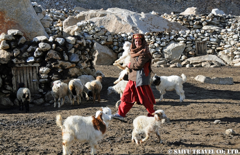
The corral of the sheep and goats was opened, and the large group climbed up to the first pass. The local woman, walks while holding the fragile things like a lantern and even a newborn goat that is still unable to walk.


They made time for us to take a commemorative photo together just up the Shuizherav Hill. The Kuch tradition can only be carried out with the close cooperation of the whole family and good friends of their fellow villagers.


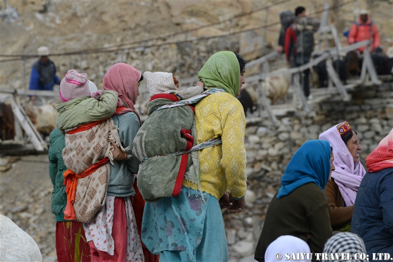
Shimshal women carrying children and goat kids in their arms. The goats and sheep walk slower, so the women take care of them as a separate group.


Our group was riding along on the yak, together with the female yaks and the group of calves. During the Kuch, the Yaks are being pushed along from behind, so they tend to walk a little faster paced then normal. I was simply blown away by the powerful women of Shimshal, as they power walked at such high elevations of around 4,500m.


As I looked behind me, the herd was coming up from behind us. From the Shimshal Pass (4,735m) with female yaks and calves group along with the villagers, we aim toward our destination of Shuwerth. I was so overcome by excitement, that I forgot about the high altitude.


The Shuwerth summer village (4,670m) is where the women will live from June 20 for three months. Called the ‘Pamir’ by the Shimshal villagers, it is a rich field where humans and livestock live close together. I was invited to take part in the ceremony to give thanks to their God for our safe arrival in the ‘Pamir’, and then ate some Shimshal cheese together with the everyone.
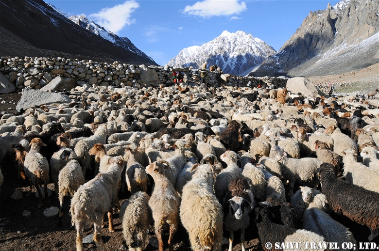
So many goats, sheep and yaks…too many for me to count. In the midst of the baa-baas (crying sounds of the goats and sheep) and the moo-moos (crying sounds of the yak calves), there is a shared sense of presence as we are making our way together towards ‘Pamir’. It will be my treasured memory forever.


Photo & text: Mariko SAWADA
Visit: Jun 2011, Shimshal Pamir, Shimshal, Gilgit-Baltistan

※This article is updated and based on the blog “Salaam Pakistan” which was first uploaded in July 2011. The Shimshal kuch tradition is rapidly waning. I have heard that you can no longer see many women from the villages in 2018 & 2019.


Category : ◆ Gilgit-Baltistan > - Shimshal
Tag : , , , , , , , , , , , , , , ,

Shimshal Pamir : Getting Over the Shopodin Pass(5,346m)with 52 Yaks and 61 People

This entry is about the the Shimshal Pamir journey in June 2011. In this trip, I was focused on the ‘yak route’. In 1993, the ‘Tang route’ was created because the Yaks could not pass there.  This ‘yak route’ allowed the Shimshal people to connect to the meadows, passes and villages together during their seasonal passage. One of the most daunting, as well as a highlight of the route, is going over the Shopodin Pass (5346m/ 17,540ft).

This time, as a record in the history of Shimshal, 52 yaks, and 61 people (11 Japanese, 3 Saiyu Travel staff of Pakistan [Pakistanis] and 47 Shimshal villagers) challenged the pass.


Climbing the Shopodin Pass. At the end of June, after over 5,000m elevation, there were pockets of remaining snow, and the melting snow water created muddy waterfalls. I climbed over a 150m of rocky terrain and from there on, rode on a yak directly to the top of the pass.


Nearing the top of the pass soon. This is Mr. Qazi, who is known as the Shimshal village ‘Yak Master’. In his youth, he had climbed high peak in the past, but today, he rode his own yak over the pass.


Just before reaching the top of pass, we offered our prayers of gratitude.


At the top of Shopodin Pass. Blessed with good weather, the view of the pass where we reached with the yak and the villagers was utterly breathtaking. From the cliff edge of Shopodin Pass at 5,346m, the even taller ranges of the Upper Hunza Passu’s Sispare and beyond to the Hisper Mustagh mountain range’s Distaghil Sar, Adver Sar, etc. a panorama of 7,000m peaks, an amazing landscape spreads out before us.

Later, there was a celebratory dance on the top of Shopodin Pass. When you are happy, you dance…that is the culture of the Pakistanis in the city as also, for the Pakistanis in the mountains. In this Shimshal mountain trip, I heard many times, the songs by the elders, ‘Pamir means a rich pasture where humans and livestock living together’. I was deeply touched by this song which celebrates living with nature and giving thanks to the beauty of it.


So the difficult thing about the Shopodin Pass, is not uphill but the downhill climb. The dry 35-degree inclination downwards opposite the snow slope is the hardest section of the pass. Some paths are muddy with the snow water, and some are slippery rocky ledges.


It took about 2 intense hours of downhill paths, until we could reach the destination of the Zargarben – Shopodin camp site. Of course, the yaks could make their way down quickly and were already there eating grass when we arrived.


The next day, we arrived at Shimshal village. It would be the last day where I would walk together with the yaks and villagers. There was only a few more hours to be together with the team, that had challenged the journey for the last 12 days.

I offer my deep gratitude to the Shimshal villagers, the yaks and their handlers, the mountain guides, porters and everyone who participated in this tour.


Photo & text: Mariko SAWADA
Visit: Jun 2011, Shopodin Pass, Shimshal, Gilgit-Baltistan

※This article is an updated version of the blog posted in ‘Salam Pakistan’ in July 2011.

Category : ◆ Gilgit-Baltistan > ◇ Mountain of Pakistan > - Shimshal
Tag : , , , , , , , , , , , , , , , , , ,

Shimshal Pamir: Will you try the Kuch? I did!

Shimshal Pamir’s summer KUCH, a Summer migration
If you know anything about summer in Shimshal, then you know there is a big part of life the “Pamir.” This is the tradition of  KUCH, where the villagers move their livestock from Shimshal Village at the end of May. They first go to the summer village of Shuizherav and then at the end of June, make their way to the second summer village of Shuwerth.


Will you try the kuch? I will kuch!
It happened one day in June 2009. I walked along the Yak road to Shuizherav. My slow pace meant that I was overtaken by the Shimshal villagers. Everyone who passed uttered “Kuch” again and again. In order to help out with this great migration, everyone from men to the youth return from the city and gathered in the Shuizherav village. The exhausted goats and sheep had already started to gather in large numbers by the time we reached Shuizherav. As we all waited for the day of kuch, amongest the flocks of sheep and goats all surrounding my tent, day and night, I could participate in milking the sheep and goats. This was an amazing chance to experience summertime in the Shimshal life.


Heading towards the Pamir
It was decided last night, as I was told “Tomorrow is the kuch.”

Securing the household goods to the male yak, the house was cleaned up, and by 9 am the first group of yaks depart. Then the yak’s enclosure was opened and everyone started heading towards Pamir. The sheep and goats walk a little slower and arrive a little later. On the plateau, at the foot of Minglik Sar, you will pass the beautiful lake Lup Zoi, then eventually you will cross Shimshal Pass.


The yaks carry the load of household goods and pass in front of the 6,000m (19,685 ft) peak of Minglik Sar, in Shimshal. The yak carries a stove that has inside a baby goat that cannot walk.


Looking back from here, there is a panoramic scene of the yaks moving in. Forgetting that we are at an altitude of 4,900m (16,076ft), we are happily walking with the yaks to the summer village of Shuwerth in Pamir.


The herd of female yaks and the children as they cross Shimshal Pass.


The special ceremony to celebrate the kuch and summer life.

Start of the Summer for Shuwerth
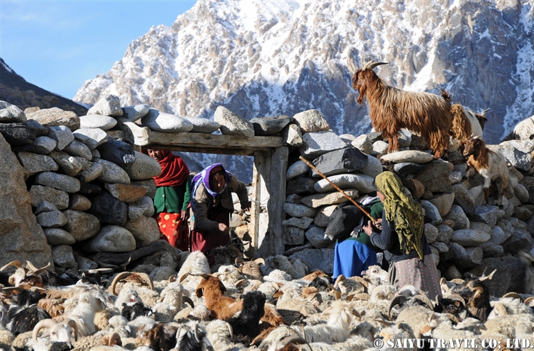
The villager women of Shimshal live in Shuwerth for three months, grazing the animals and making dairy products. As soon as the kuch is over, a ceremony is held to pray for the safety of the villagers and a good harvest for the summer. People prepare their homes and take care of the livestock. In the evening, the usual practice of milking the animals takes place.


The paddock of Shuwerth. The scene of milking the animals every morning and evening.

I was so sad to say goodbye to the people who took care of me while I was there in Shuwerth, and as I left, I kept looking back at the view many times, as not to forget.


Photos & Text: Mairko SAWADA

Visit: June 2009, Shimshal Pamir, Shimshal, Gilgit-Baltistan

※This article is updated and based on the blog “Salaam Pakistan” first uploaded in March 2011. The Shimshal Kuch tradition is rapidly waning. I have heard that since my visit, you can no longer see the women from the villages in 2018 & 2019.


Category : ◆ Gilgit-Baltistan > - Shimshal
Tag : , , , , , , , , , , , , , ,

Where is Shimshal Pamir?

I have been travelling to Shimshal Pamir, located beyond Shimshal village, since 2009. It is not at all easily accessible and the lodging is located at altitudes exceeding 4,700m (15,420 ft). The mountain scenery and expansive natural vista is amazing but also, the traditional life of the Wakhi  people is fascinating as well. Shimshal is well known for their KUCH, the great migrations with their cattle, which you can also experience when you go to this special place.


Where is Shimshal Village?

Shimshal village was only recently connected by jeep road in 2003, in the upper Hunza valley. Located just near the boarder between Pakistan and China, it is just east of the Khunjerab Pass. If you take the Karakoram Highway north, passing through the heart of Hunza, Kalimabad, then you take the Attabad Lake tunnel, and on to Passu Village through 60 kilometers of dirt road…then you reach Shimshal Village. Prior to 2003, you would have had to walk the long trek, but now you can access this road with 4WD vehicle. Nonetheless, this road was once a trekking route with very steep canyons and great views of the Mulungutti Glacier, which extends out from Shimshal Village.


Shimshal Village

The village is located in a valley at an altitude of 3,000m (9843 ft). Until 1973 the Mir of Hunza were taxing dairy products and livestock in this area. It became part of the Islamic Republic of Pakistan in 1973 and part of the Shimshal land was designated Khunjerab National Park. In 2003, a road was connected to the area and life became a little easier but sadly, the youth have started migrating out to the city. Several guest houses in the village and a small hydroelectric facility provides power, although not very reliably. In recent years, there are an increasing tourist population attracted usually to the opportunities for mountain trekking.


Heading to Shimshal Pamir

Following the long, snow-covered winter, the villagers will start to graze their animals in late May. Livestock is the most important thing for making their livelihood. They take their yaks, goats and sheep graze in the summer pastures. This traditional big migration is called the Kuch, when they travel long distances to the ‘Pamir’ or summer pastures.


During the summer months, the women of the village are usually responsible for caring for the livestock and making the dairy products. Unfortunately, this tradition is rapidly being lost in modern times. Men may take various work either taking cattle to even more remote locations, working in towns or as porters and mountain guides.


Travelling on the Karakoram Highway from Islamabad, it is way beyond Kalimabad and Passu far into the mountain passes. Even deeper into the mountains past Shimshal village, you will walk into Shimshal Pamir.

It may take some time to get there, but it is a place where you can get a real feel of mountain life and their traditional way of life dependent on their animals.


Photos & text: Mariko SAWADA

※Photos were taken between 2009 and 2012 at Shimshal Village & Shimshal Pamir

※This is updated based on an article first uploaded in March 2011 for the Blog “Salaam Pakistan.”


Category : ◆ Gilgit-Baltistan > - Shimshal
Tag : , , , , , , , , , , , , , ,

Shimshal village in Autumn

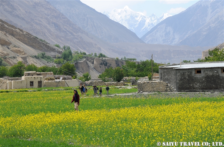
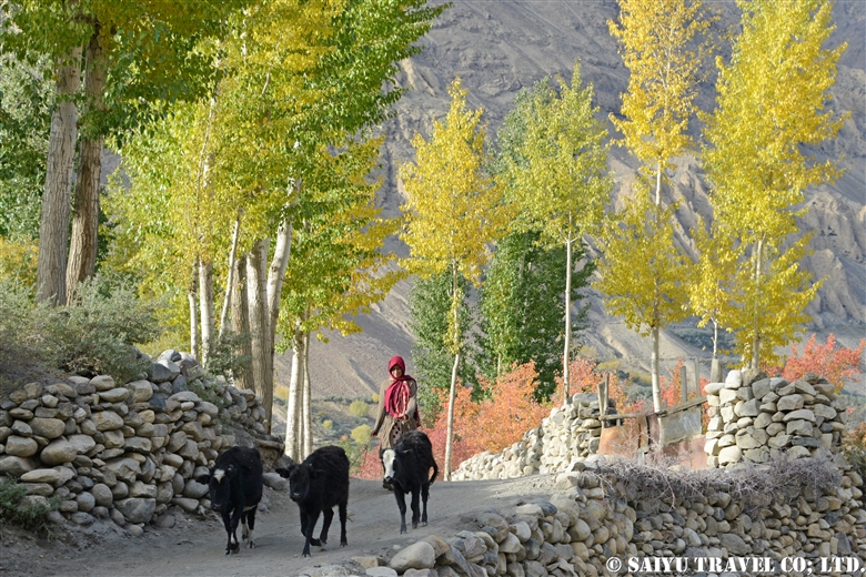
This is the wonderful scenery of Shimshal village in late October, enveloped in the golden, yellow, red shades of Autumn. Livestock have returned from Pamir and the village is ready for a tough winter ahead.


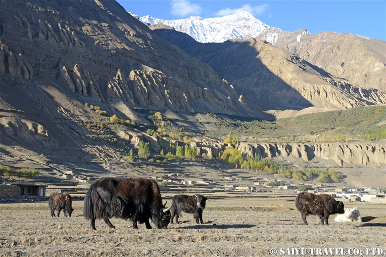
The yaks who returned from Pamir were in the field. Large males and some females remain in the Pamir over winter. It is a tradition to survive the cold and tough winter with limited food.


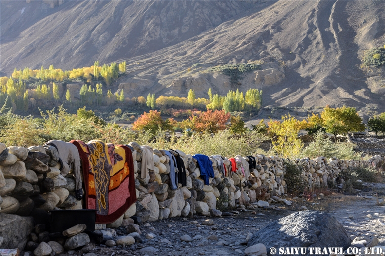
A sunny day, good for washing! Shimshal village on a warm sunny day.


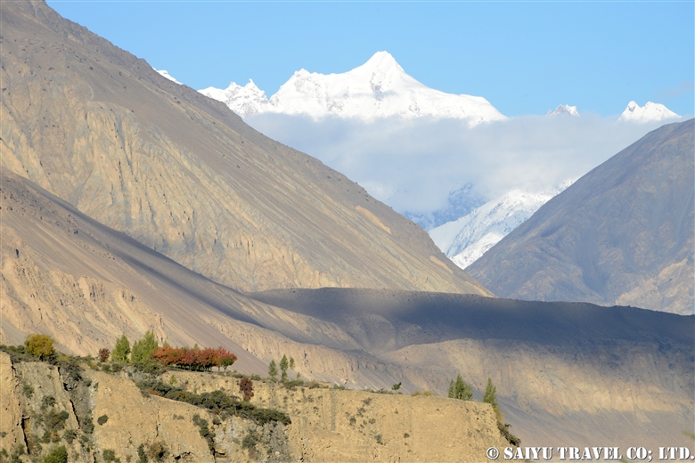
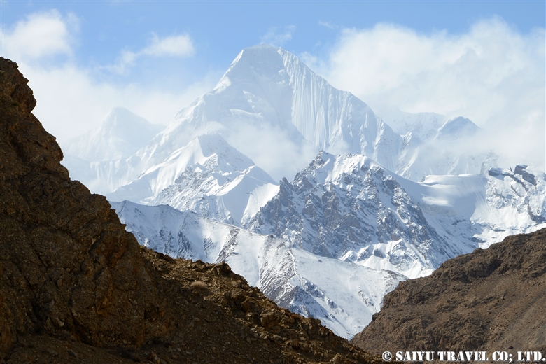
Karun Koh seen from the Shimshal valley. The altitude of Karun Koh peak is 6,977m, 7,164m, or 7,350m depending on the documents.


Just outside the Shimshal village, there are Molonguti Glacier and Disthagil Sar 7,885m.  From here we drive off the valley for 3 hours to reach the mighty Karakoram Highway near Passu.

Visit beautiful village of Shimshal – One step off from Karakoram Highway !


Photo & Text: Mariko Sawada

Visit: Oct 2014, Shimshal, Gilgit-Baltistan


Category : ◆ Gilgit-Baltistan > - Shimshal
Tag : , , , , , , , , , , , , , ,

Shimshal in Autumn – At the suspension bridge on the Shimshal River/Autumn Kuch 4

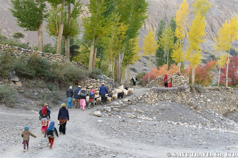
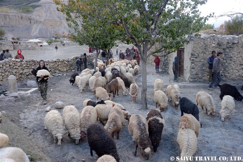
Finally, the goats, sheep and villagers who have had spent the summer in Pamir safely arrived at Shimshal village. Most villagers go to Pamir temporarily to carry livestock, but some women take care of livestock and make dairy products during the summer.

Unfortunately, these traditions are slowly disappearing.


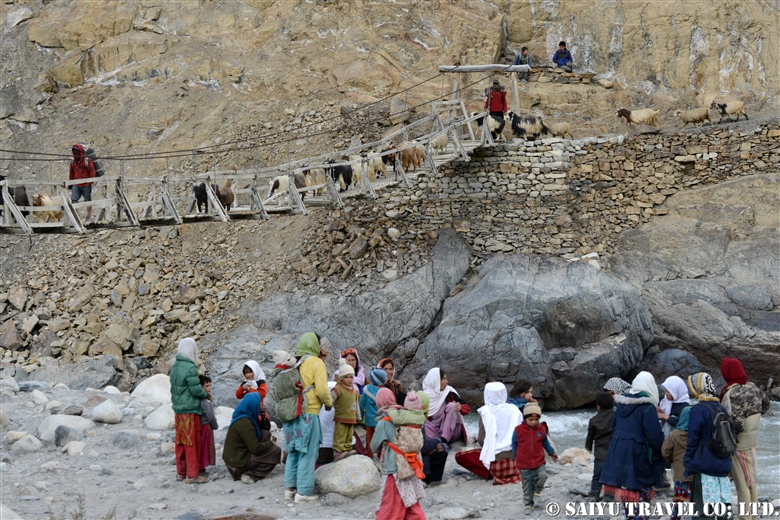
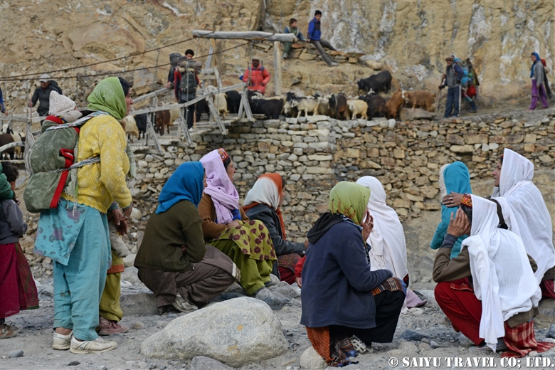
People waiting eagerly for livestock on the other side of the river.


Came back from Pamir: sheep, goats and villagers.


It’s soon towards the suspension bridge.


People waiting for the arrival of family and livestock.
I was engrossed in taking pictures of this beautiful scene.


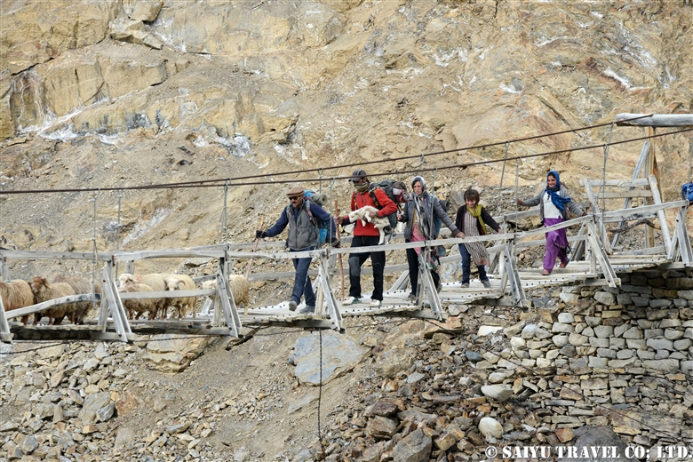
A villager crossing the suspension bridge carrying a lamb that is still small and unable to walk.


Villagers, sheep and goats walk to the center of the village as they cross the bridge.


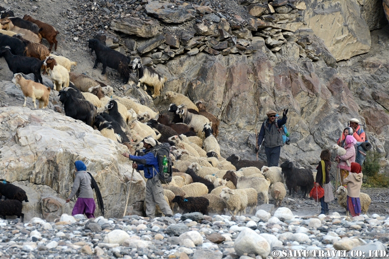
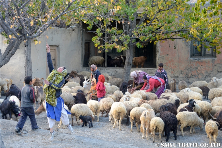
Collected in the village, goats and sheep just came back from Pamir.


The villagers confirm the goats and sheep that they have kept and return each of them to the respective home-owner.

On this day, what I witnessed …. the arrival of KUCH in Shimshal village …. It was such a beautiful tradition that villagers together cooperated and built, something unknown to the world outside.

One should experience the Kuch tradition for once in their lifetime!


Photo & Text : Mariko SAWADA

Visit : Oct 2014, Shimshal, Gilgit-Baltistan

Category : ◆ Gilgit-Baltistan > - Shimshal
Tag : , , , , , , , , , , ,

Shimshal in Autumn – Yaks return to the village /Autumn Kuch -3

Finally, it is the day to return to Shimshal village with the yaks.
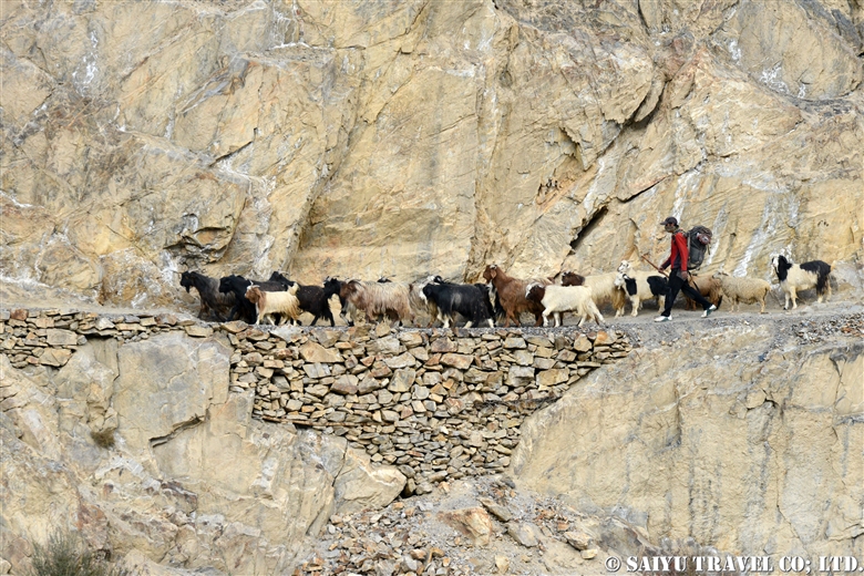
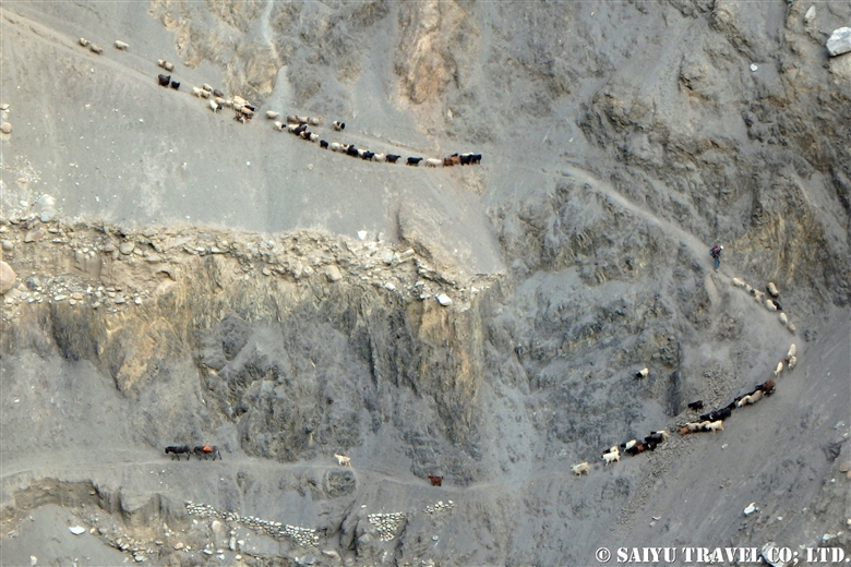
From Wuch Furzeen to Past Furzeen, there are steep climbs and sliding areas.


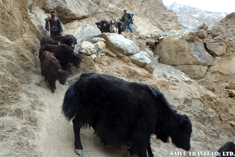
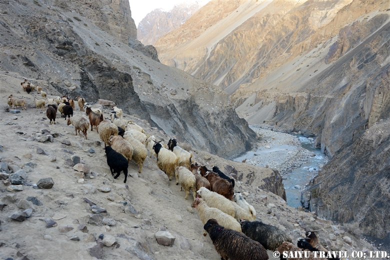
Yaks carefully descends the vertiginous slope.


I saw goats and sheep moving on a steep slope from the bottom. The right side curve was really scary and precipitous.


Goats and sheep rush to the village. Their pace is slower than that of yaks, so they will arrive to the village the day after the yak’s arrival.


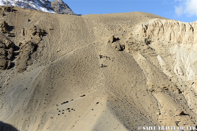
Yaks and villagers strenuously climb the mountain slope.


View of the incredible Yazghil Glacier on the way to the village.


“The white horn of Shimshal”, Adver Sar (6,400m).


And it’s down Ghare Sar. When you get off here, it is Shimshal village.


Crossing the Shimshal River. The villagers protect the small yaks.


To the Shimshal village where the family awaits anxiously.


At last! The villagers and yaks have arrived at Shimshal village. It was really a good work. Cheers!


Photo & Text : Mariko SAWADA
Visit : Oct 2014, Shimshal, Gilgit-Baltistan

Category : ◆ Gilgit-Baltistan > - Shimshal
Tag : , , , , , , , , , , , , , ,

Shimshal in Autumn – Yak, goat and sheep return from the Pamir/Autumn Kuch -2

When we started to leave Arbab Parien camp, we received an information that the livestock had already been departed from Shuijerav. There, we decided to wait for “Kuch” at the pass near from Arbab Parien.

While waiting for “Kutch”, we saw a baby yak who was walking with the villagers towards to the village yesterday.  It ran away to get back to the Pamir where the mother yak remained. However, villagers caught the baby yak.

The female yaks are divided into two groups ; a group returning to the village and a group remaining in Pamir during the winter. The mother of this baby Yak didn’t  return to the village and spend the chilling winter in the high Pamir.


The very first arrival from Shuijerav is a small herd consisting of baby yaks and female yaks.


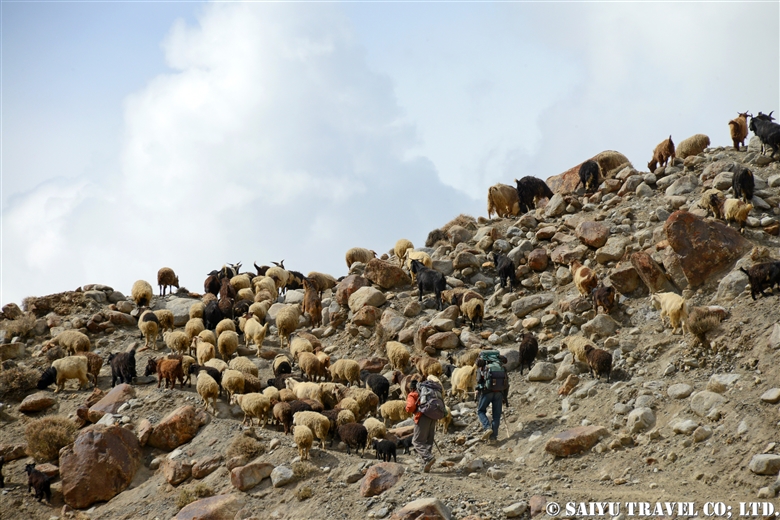
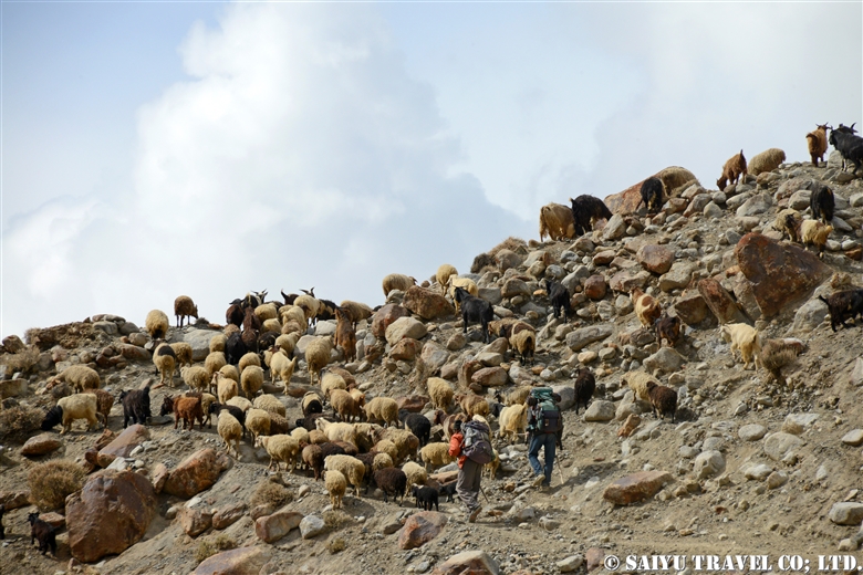
Then a herd of sheep and goats continue towards the pass.


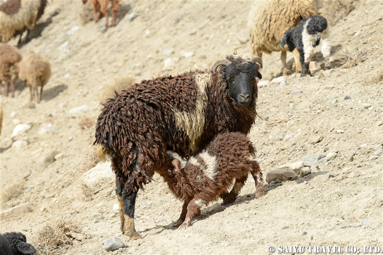
Baby getting milk from mother sheep while walking.


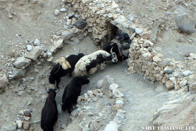
Yaks crossing through the small gate of Parien Sar.


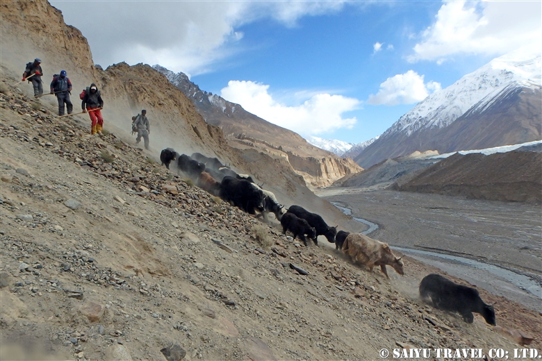
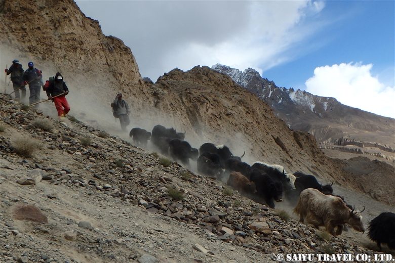
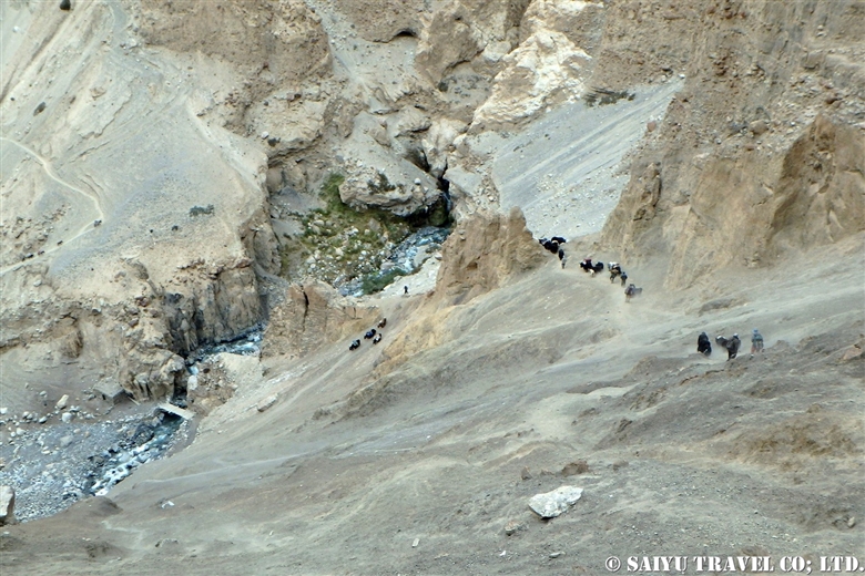
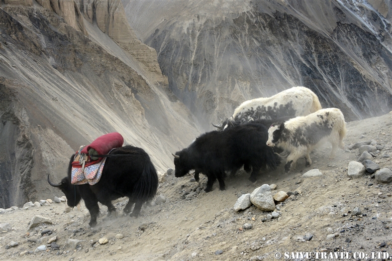
It’s a difficult and dangerous place down to Parien Ben. Yaks rushing down the slope raising the sand in the air.


Yaks going down the slope. Shimshali villagers rushing down at the same speed as of yaks, so we followed them vigorously. Indeed, this inclination is quite scary.


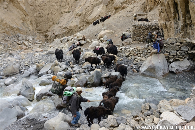
Subsequently, crossing over the river of Parien Ben.


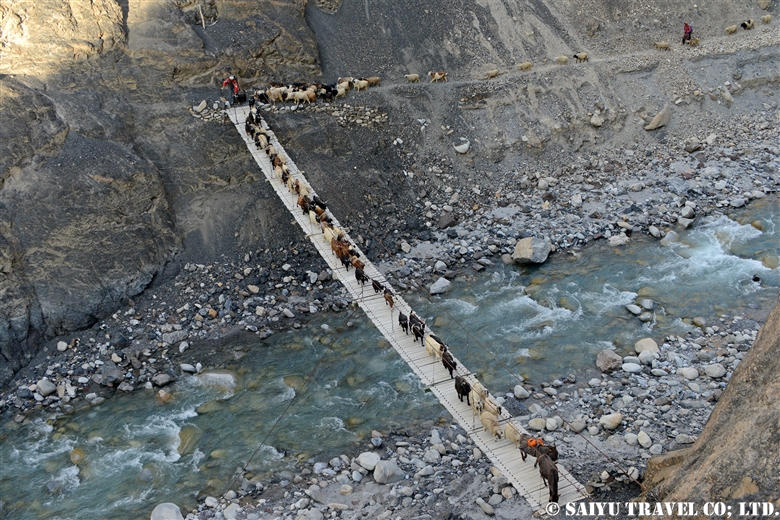
What a wonderful view. Goats and sheep in a uniform row crossing the suspension bridge, aiming forward for today’s campsite, Wuch Furzeen.


Photo & Text : Mariko SAWADA
Visit : Oct 2014, Shimshal, Gilgit-Baltistan

Category : ◆ Gilgit-Baltistan > - Shimshal
Tag : , , , , , , , , , ,

TOP