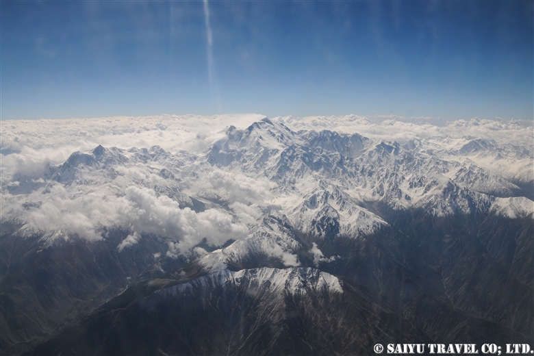

I remember the first time I saw this bird, I was in Ladakh, India and I was shocked exclaiming, “What in the heck is that!?!” And the answer was “Lammergeir”. Despite knowing how it is spelled, it was still a mystery as to how to pronounce it, but since everyone says ‘Lamagaye,’ I also pronounce it that way.
This name seems to be an old German name; it is more commonly known in English as the Bearded Vulture. But the bird looks so cool, that you’ll want to call it “Lammergeir” instead.
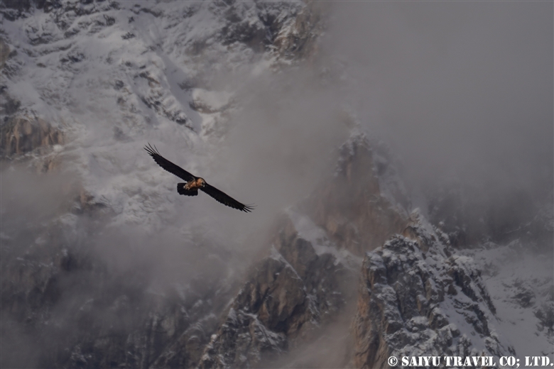
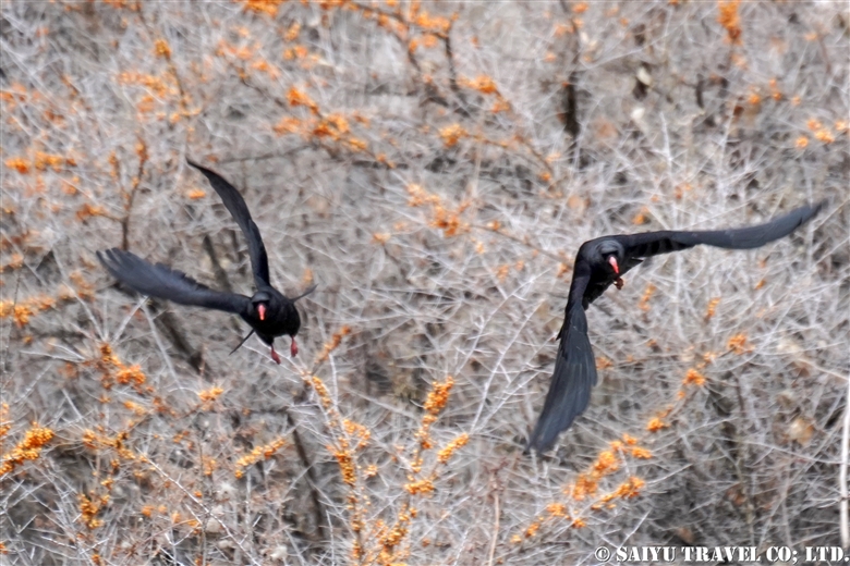
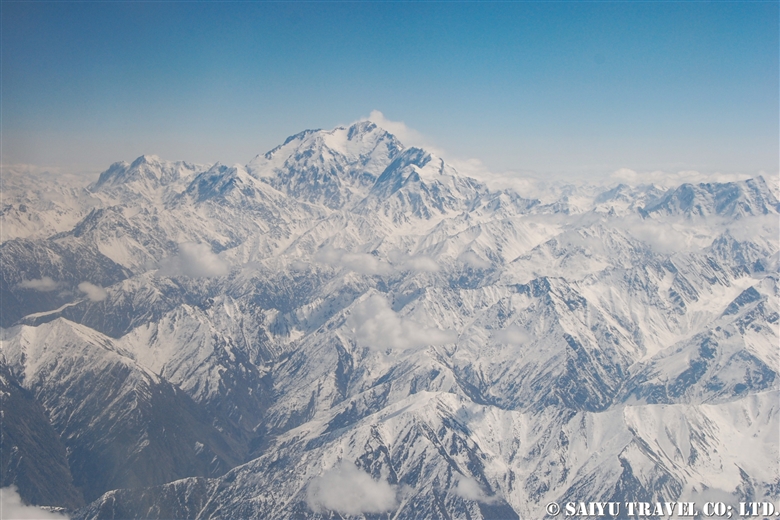
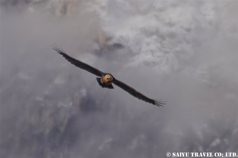
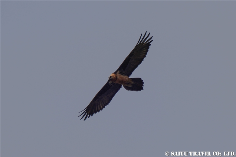
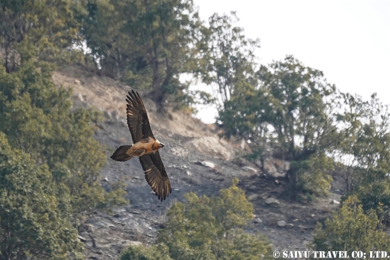
A bearded vulture flying against the backdrop of the Hindu Kush Mountain Range, observed at the Chitral Gol National Park.
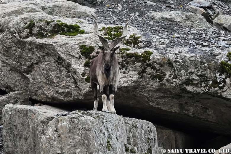
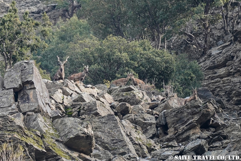
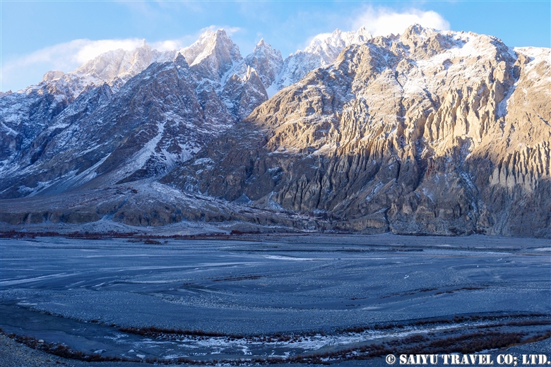
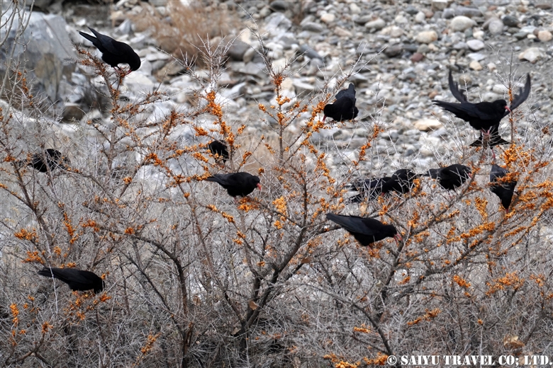
Bearded vultures are birds found in the mountainous regions of central Eurasia, in East Africa and Southern Europe, and seen using steep drop off cliffs. It is a large bird with a total length of 115 cm, but the wingspan is closer to 3meters across. As the English name suggests, the bearded vulture, is a member of the vulture family, but their distinguishing feature is a feathered head & is completely different image as other vultures.
Bearded vultures feed on carrion, specializing on old meat and particularly bone marrow. It has been observed that they fly high holding the large bones, only to drop them to break them, on the rocks below to expose the bone marrow.
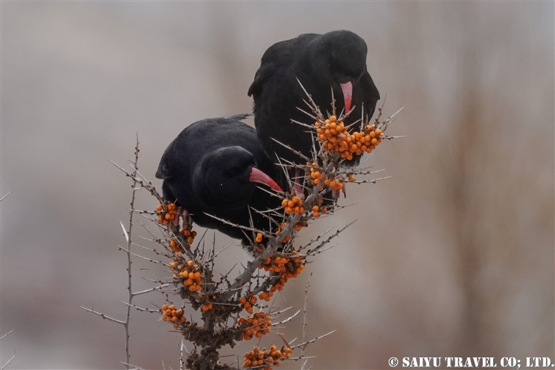
When I see a vulture is flying in the sky, I always think, “Where are the dead animals?” But it seems that this vulture will only visit once the other vultures (such as Himalayan & Black vultures) are done. They are the only vertebrate animal that gets the majority of its food from consuming bone marrow (70-90%!).
There are various cultural theories surrounding this bird, that it maybe appears in Arabian Nights called the “Roc, mythological bird in middle east,” as possibly the model for it or in the ancient Persian myths as “Homa, the mythological bird in Iran.” In ancient times, these vultures seem to have carried a special reverence in the imagination of the people.
Photo & Text: Mariko SAWADA
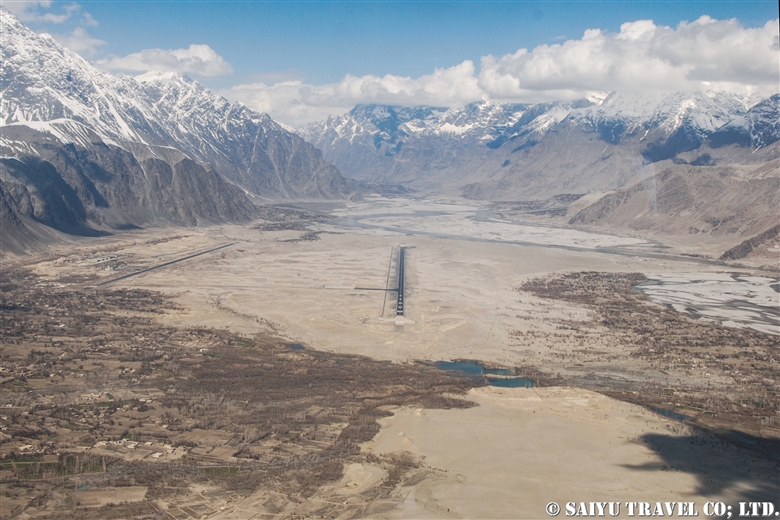
Observation: Dec 2020, Chitral Gol National Park, Chitral, Khyber Pakhtunkhwa
Special Thanks: KPK Wildlife Department, WWF Pakistan, Tomo AKIYAMA
Tag : Travel Pakistan Blog , Bird watching tour in Pakistan , Wildlife of Pakistan , Wildlife tour in Pakistan , Pakistan Wildlife Tour , Lammergeir , Indus Caravan , Bearded Vulture , Bird watching in Pakistan , Birds of Pakistan , Saiyu Travel Pakistan , Chitral Gol National Park , Pakistan Travel company , Northern Pakistan Travel , Pakistan tour operator , Pakistan Blog , Pakistan Photography Tour , Pakistan Travel Blog , Birds Photography Pakistan