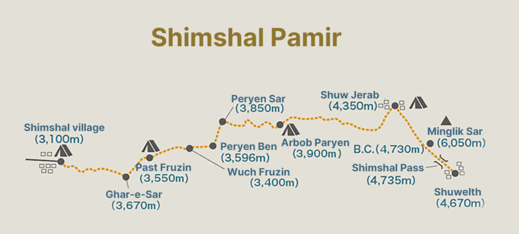
The following is a documentation of the second part of our Shimshal Pamir mountain journey in Aug-Sep 2024, tracing the route from the ascent of Minglik Sar (6,050m) to the return to Shimshal village.
Day 7: Summit of Minglik Sar (6,050m)
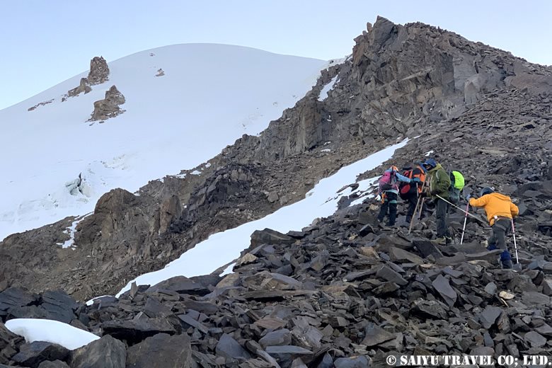
At midnight, the first and second parties left Minglik Sar B.C. The temperature outside was -7°C. We continued walking, using walkie-talkies to communicate with each other. We moved on, checking our footholds with headlamps. Step by step, we climbed up the steep gullies.
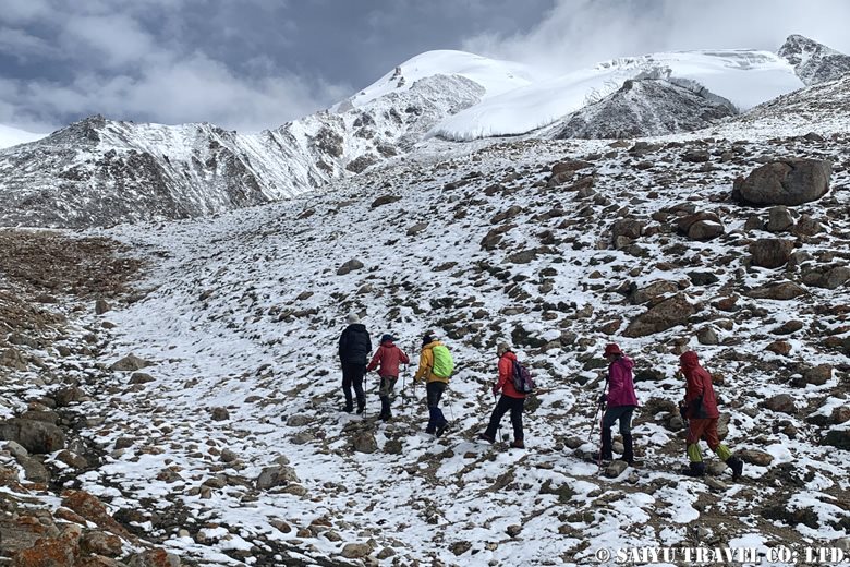
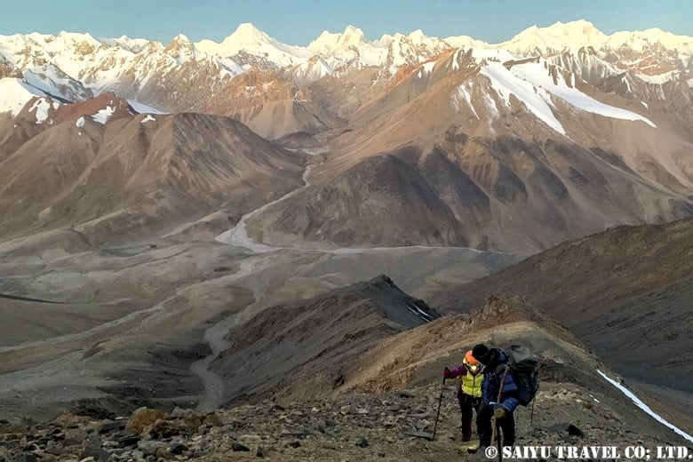
We arrived at the top of the ridge (about 5,320m). The first and second parties met, and the second party passed ahead. Soon after the sun came up and the landscape changed. After a rocky ridge, we arrived at a direct climbing spot on a snowy surface.
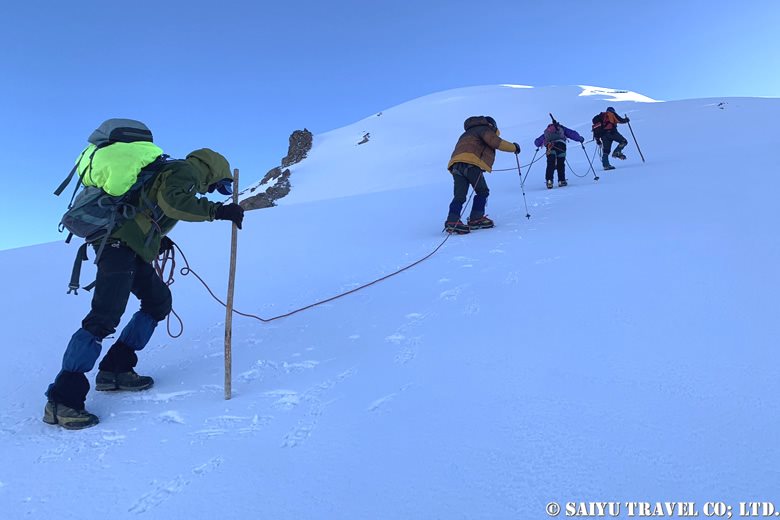
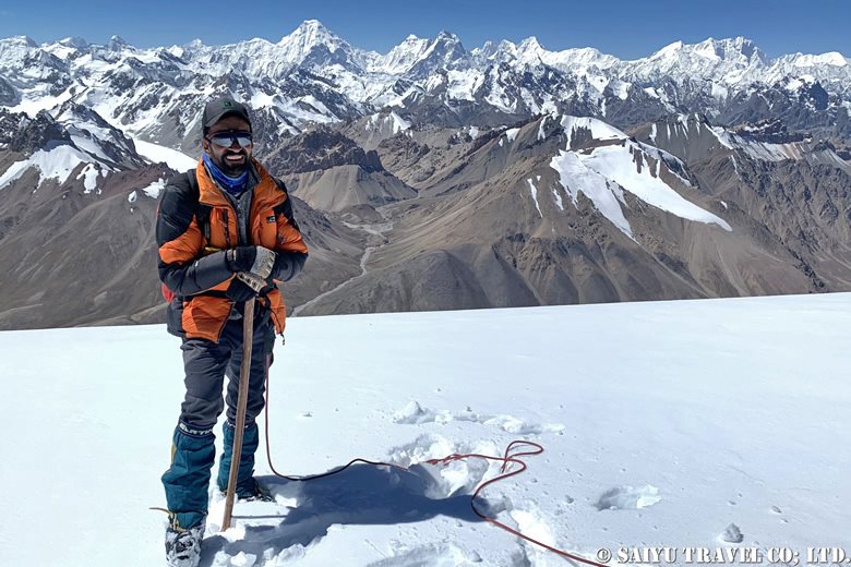
Here we put on crampons and roped up in preparation for our push to the summit. The leading guide kick-stepped ahead and left tracks for those following behind. With the stunning mountain range in the background, we aimed for the summit step by step. K2 was now visible on our right!
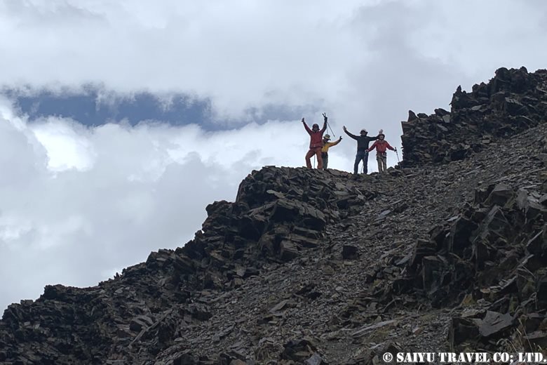
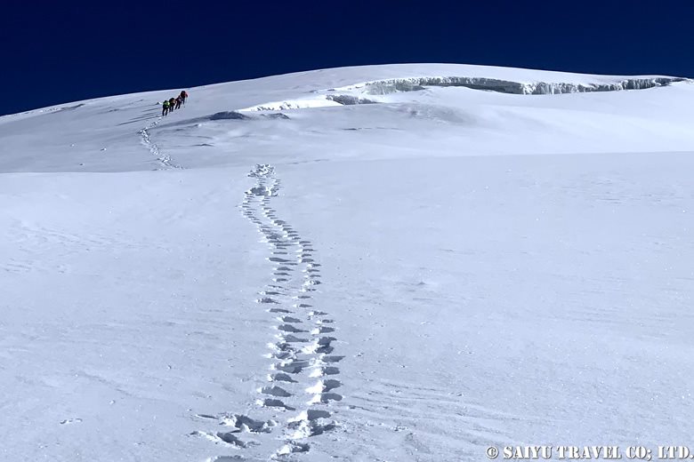
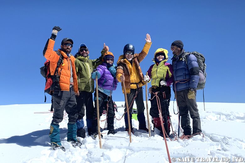
After crossing a total of three crevasses, we finally reached the summit. The second team was there waiting for the first to arrive!
After crossing a total of three crevasses, we finally reached the summit. The second team was there waiting for the first to arrive!
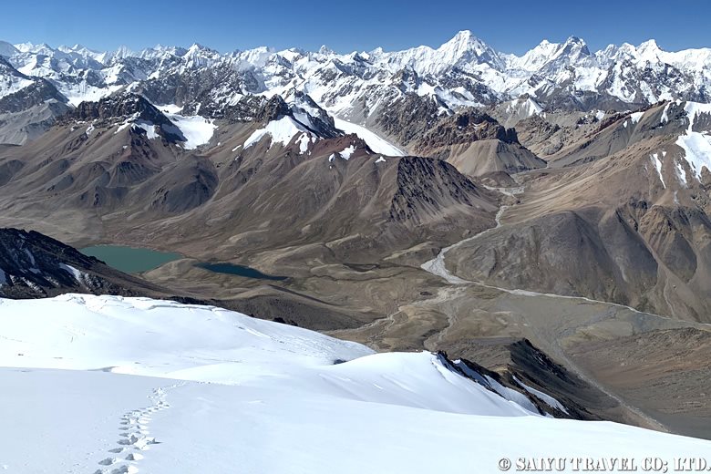
As we continued, the hard, compacted snow had softened and made for an easier descent, but we couldn’t afford to let our guard down. We descended step by step. We could see B.C. below us, but it seemed far away.
After a nerve-wracking descent, complete with stumbling climbers and falling rocks, the last member returned to B.C. just as the sun was getting ready to set… It was a long haul, but everyone’s hard work paid off!
Day 8: B.C. (4,730m) to Arbob Paryen (3,900m)
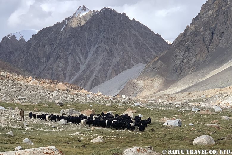
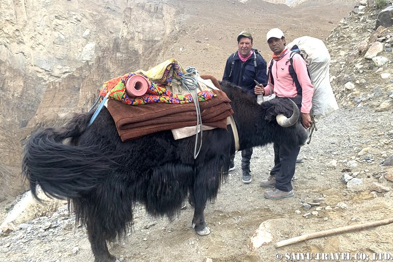
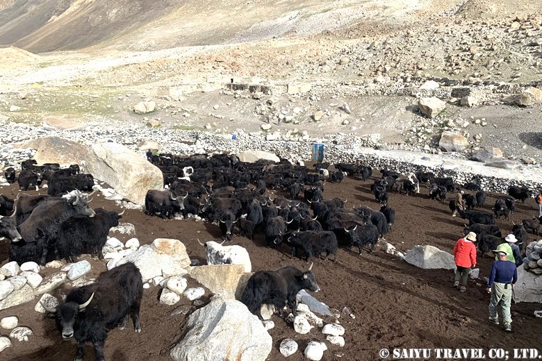
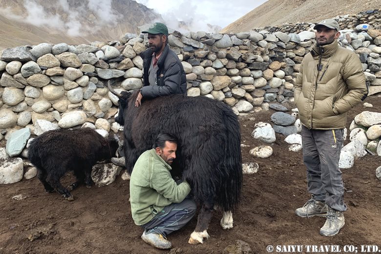
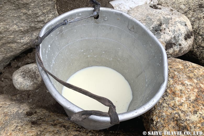
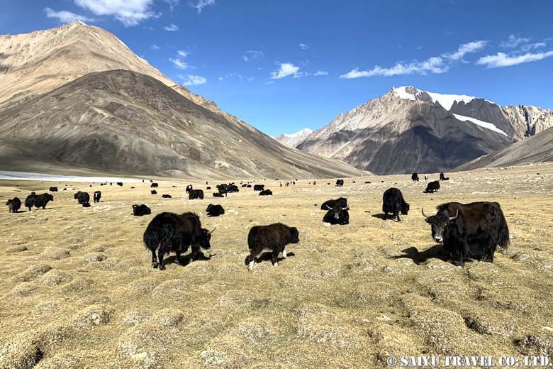
The next morning, I woke up to the sound of yak calls. Continuing from the previous day, we started our descent under a clear blue sky. We retraced the same route as the upward journey.
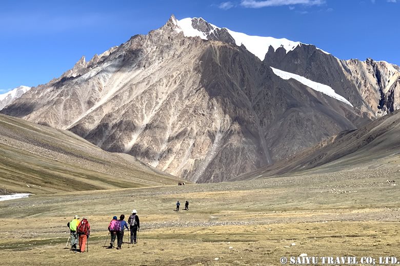
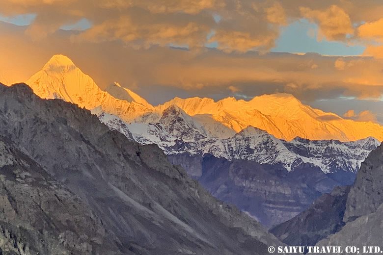
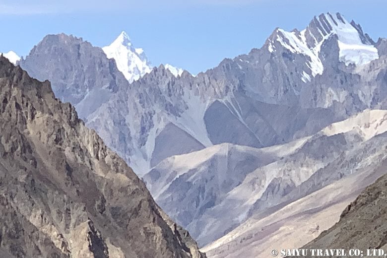
On the way down to Shuw Jerab, we saw the west face of Shispare (7,611m) on our left.
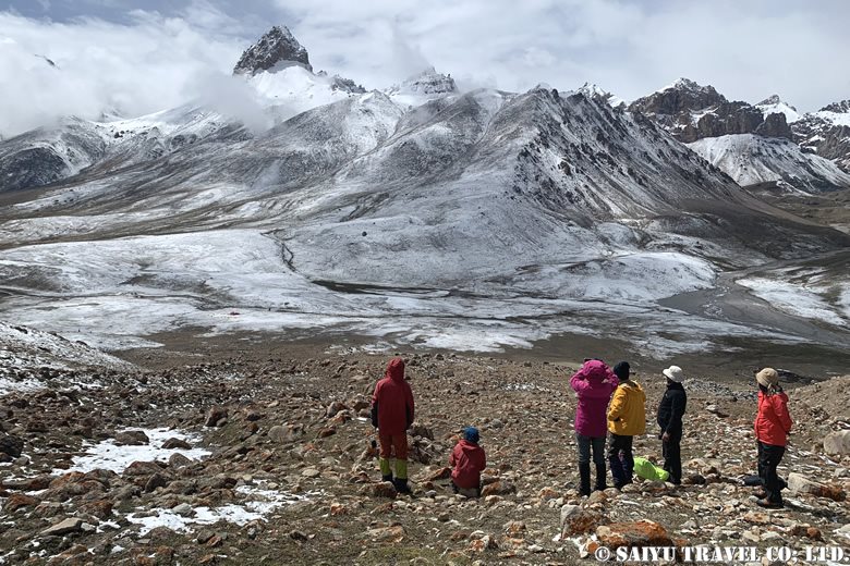
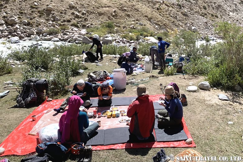
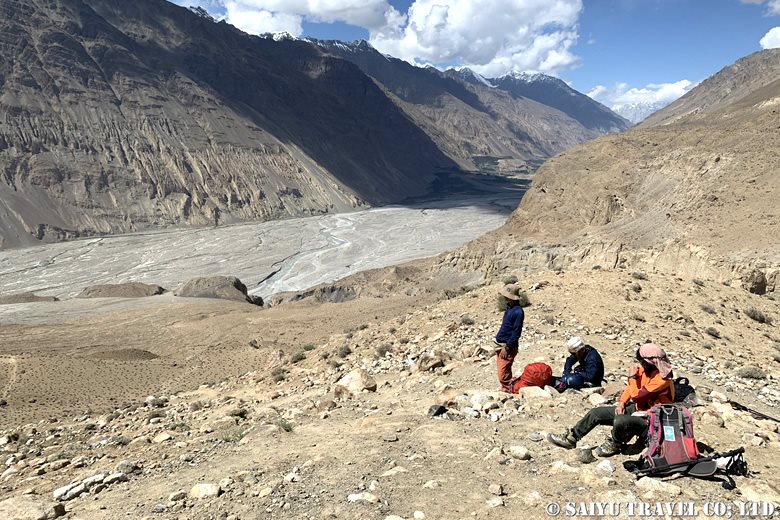
We took a break at Chikor. The team also took some time to relax.
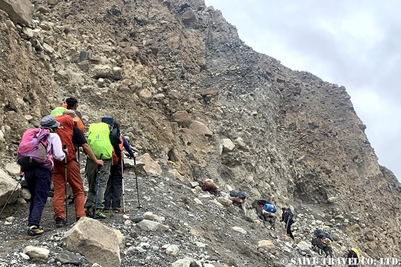
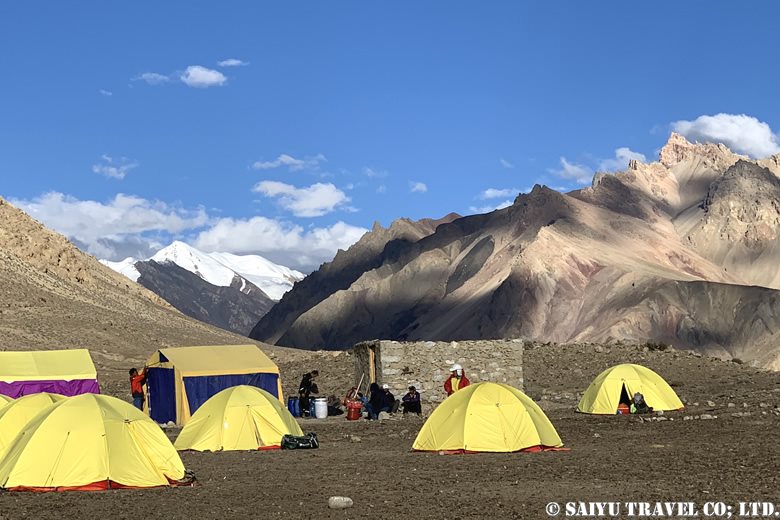
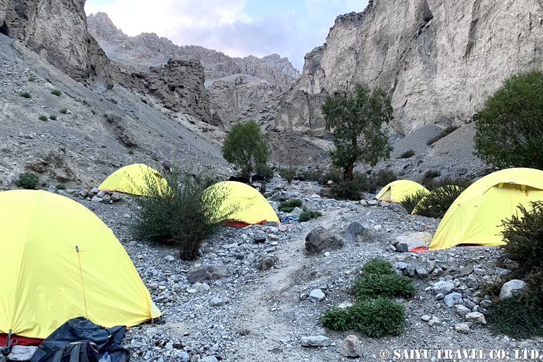
We safely passed through a zone of falling rocks and arrived at a campsite with reddish soil in the evening. We had entered an area below 4,000m in altitude, and the air suddenly felt thick and warm.
Day 9: Arbob Paryen (3,900m) to Past Furzin (3,550m)
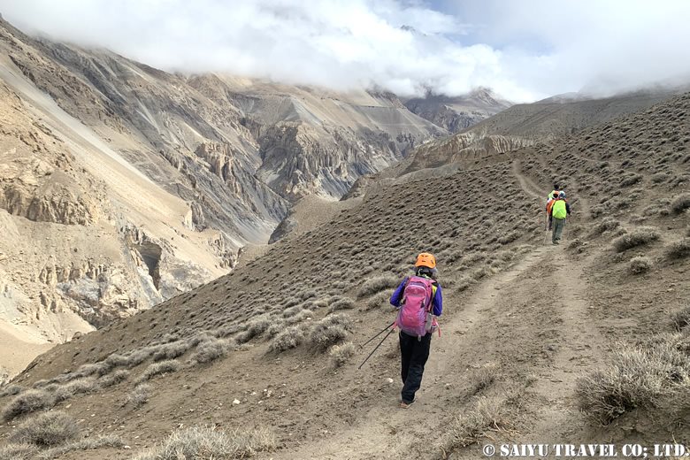
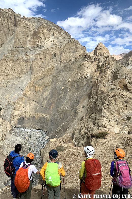
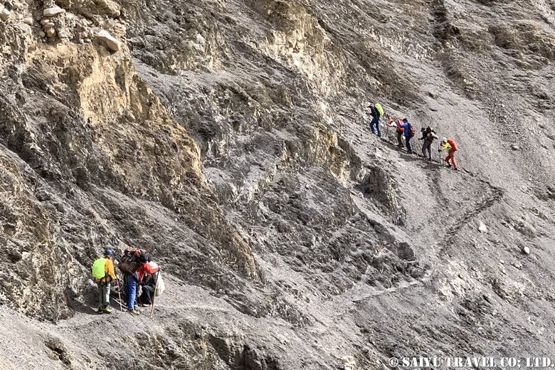
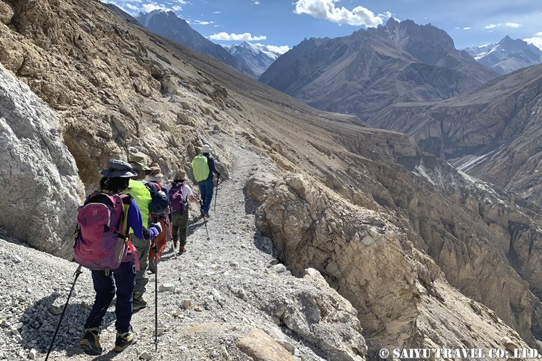
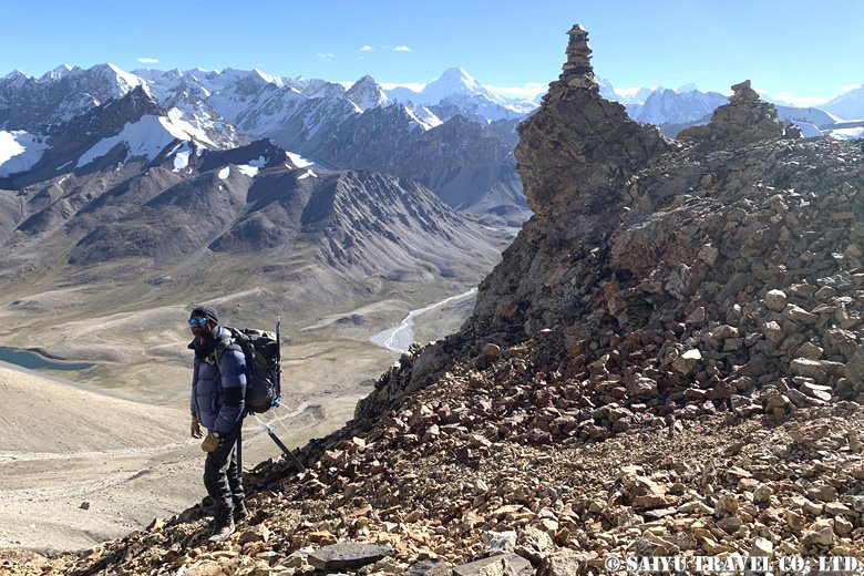
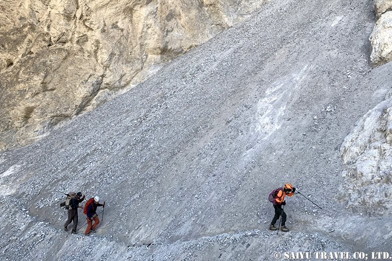
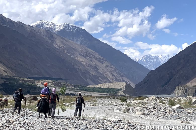
Today’s agenda was to climb up from the campsite in the hollow valley terrain and head towards the core area. There were dangerous parts on the descent that were more difficult than the ascent, so there was always a sense of tension in the air.
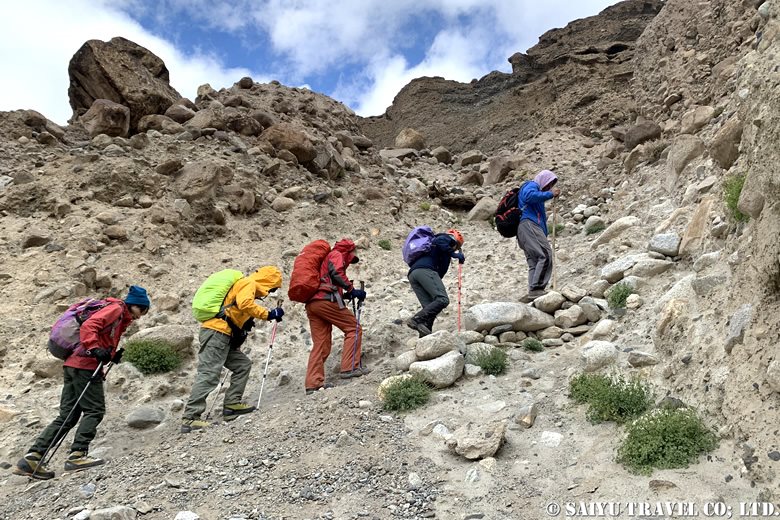
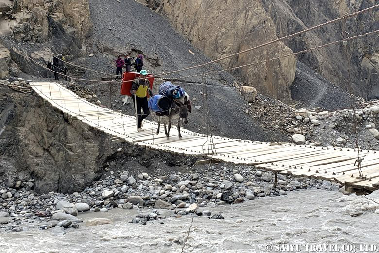
From Paryen Sar (3,850m) to Paryen Ben, and from there to the suspension bridge before Wuch Fruzin, we steadily descended with man-to-man support. As the lower part of the route came into view the route grew tougher both physically and mentally, but we all made it through safely.
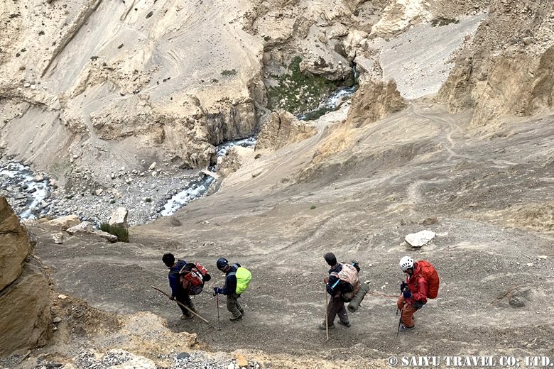
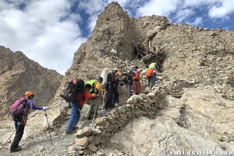
After that, we continued on the narrow cliff path to Past Furzin (3,550m).
Day 10: Past Furzin (3,550m) to Shimshal Village (3,100m)
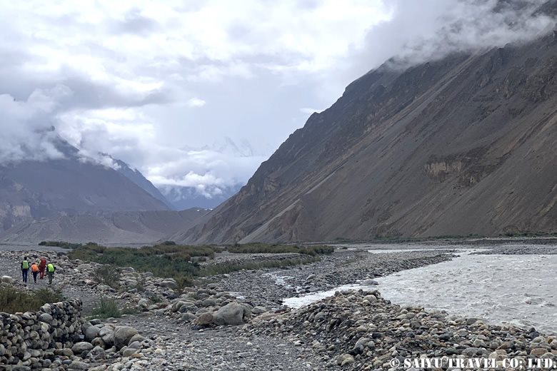
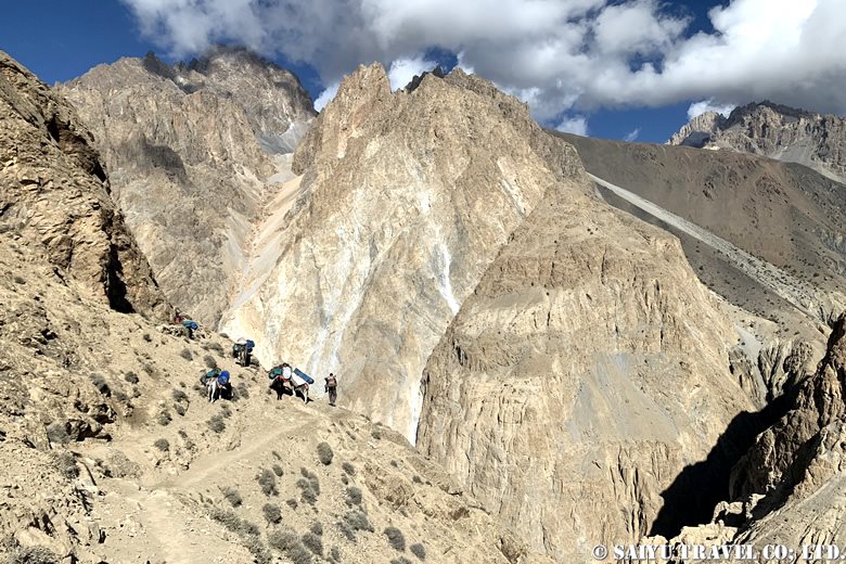
After the summit day, the weather improved and we had a clear day for our final march. We patiently continued along the cliff path, and finally the view ahead of us began to open up. We arrived at our first day’s campsite, Ghar-e-Sar (3,670m). From here, we walked to the river at our own pace.
And at last, we could see the village of Shimshal! After the cliff path, we went down to the riverbed. After having our final lunch at the hut, we walked along the flat path towards the village.
Our Shimshal Pamir mountain trip seemed long but passed quickly. We arrived at the village, reluctant to leave the steep approach and the cold of the high-altitude camp. We were given hot water in a large bucket and were able to refresh both our body and mind.
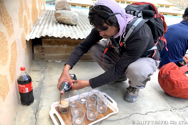
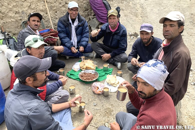
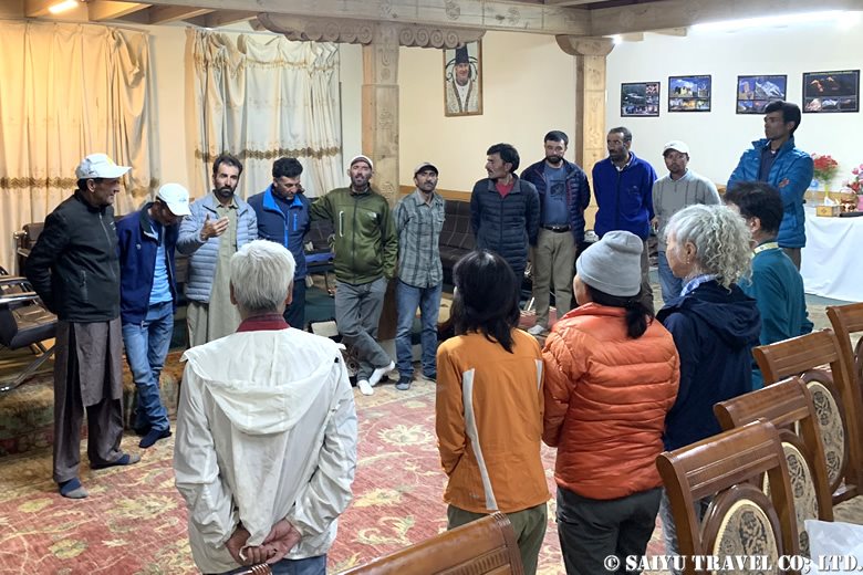
The guides and porters who had looked after us visited us for dinner and we had a farewell party.
The ten-day trek seemed long, but it passed in an instant. It was not an easy mountain climb, but the view from the summit was exceptional, and the sense of achievement after all the hard work was great, making it a special experience that could never be had anywhere else, on any other route.
Photo & Text : Osamu KUSUNOKI
Visit : August 2024, Shimshal Pamir, Shimshal, Gilgit-Baltistan
▼Related article
Shimshal Pamir: Will you try the Kuch? I did!
”Kuch”, a summer in Shimshal Pamir
★★★★★
*Contact us, Indus Caravan for more information or to make arrangements for visiting Shimshal Pamir.
👉Follow us on Youtube, Instagram & Facebook
Category : ◆ Gilgit-Baltistan > ◇ Mountain of Pakistan > - ShimshalTag : Shuwerth , Karakorum Trekking , Kuch , Minglik Sar , Shimshal , Ghar-e-sar , Shimshal Pamir , Peryen Sar , Shimshal Pamir Trekking , Past fruzin , Shimshal Village , Wuch fruzin , Yak , Shuw Jerab , Yazghil Glacier