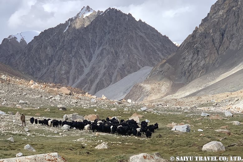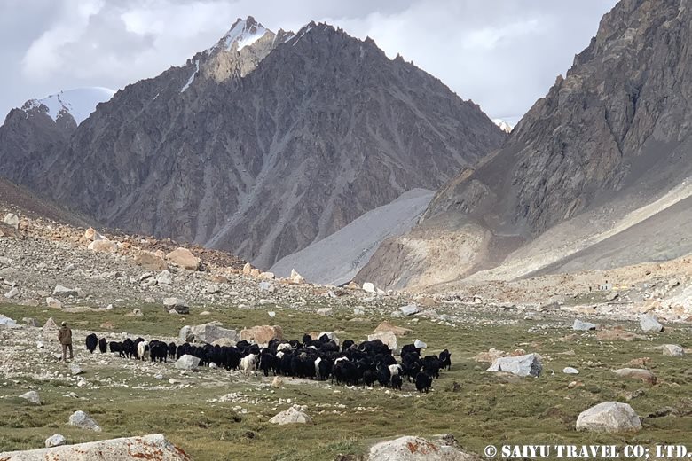
The following is a report on a journey to the 6,000m peak of Shimshal Pamir from late August to September 2024. Shimshal Pamir is known as “Karakoram’s no man’s land,” and is rarely visited by trekkers. I personally first visited in the summer of 2011, and since then I have returned to this place every year.
The area is a harsh wilderness where the Wakhi people graze their goats, sheep and yaks by moving from one pasture to another. In the past, they also made dairy products on the move, but this is no longer practiced. On the Shimshal Pamir expedition, you can get a glimpse into the summer pastoral life of the Wakhi people. In fact, just starting from Shimshal village and visiting this summer pasture is a strenuous trek, but the climb to the 6,000m peak that awaits beyond is a very satisfying route which provides a tremendous feeling of achievement.
>”Kuch”, a summer in Shimshal Pamir
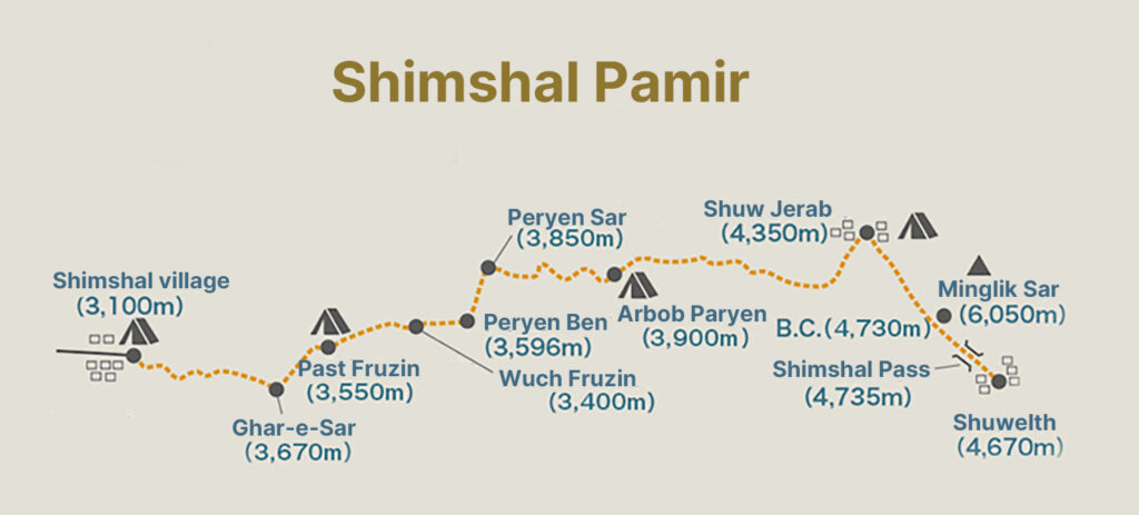
Day 1: Shimshal Village (3,100m) to Ghar-e-Sar (3,670m)
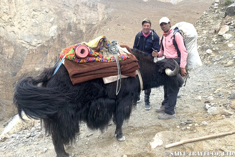
The first day started in Shimshal village, as we headed towards the Ghar-e-Sar (3,670m). We crossed a small suspension bridge (Michael Bridge) and walked straight along the Shimshal River with the end moraine of the Yazghil glacier in sight. Although the path is flat, there are some difficult sections due to the large stones along the riverbank. The river water level was high at this time, and the yaks were given ropes from the other side of the river to pull them across.
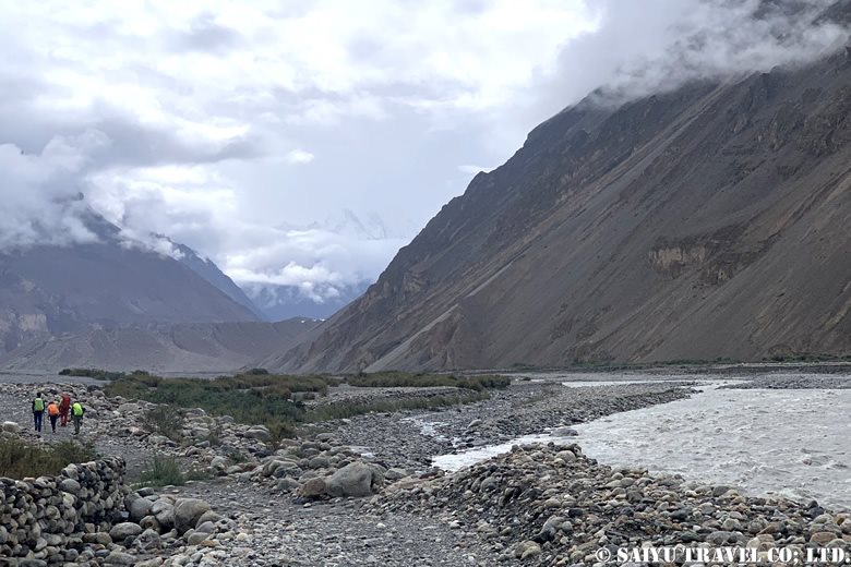
We crossed the river at the bridge at the point where the Shimshal and its tributary, the Pamir Tang, meet, and had lunch at the hut beyond. After this began the steep climb up. It still being the first day, our legs and feet hadn’t quite gotten used to the climb yet.
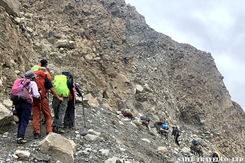
Gradually, the angle from which we looked down at Yazghil glacier changed, and after a while we reached a campsite with a nice view. As the sun set, we could see the village of Shimshal in the evening.
Day 2: Ghar-e-Sar (3,670m) to Peryen Sar (3,850m)
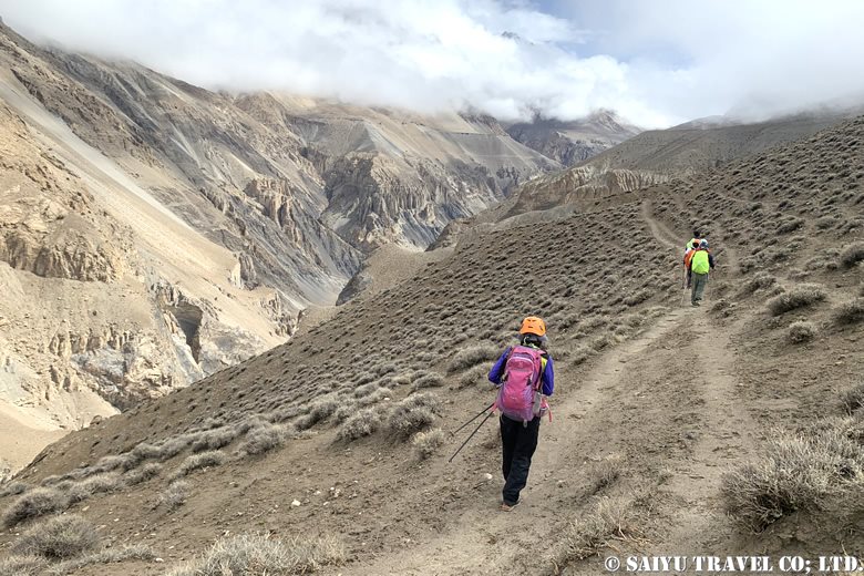
From here, we walked on cliffs and the somewhat dangerous parts of the landslide zone. The tense climb made us feel even more fatigued. Eventually, after descending a steep valley, the campsite at Past Furzin (3,550m) came into view. Further along the cliff path, we reached Wuch Furzin (3,365m), where we took lunch.
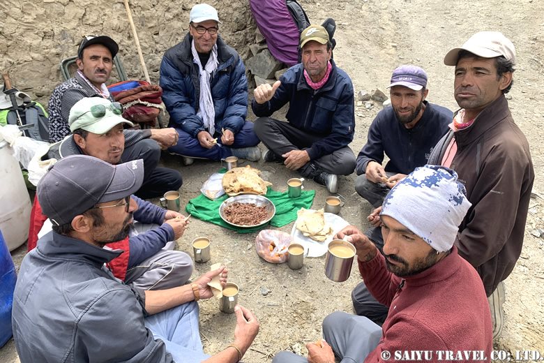
After crossing the suspension bridge to the other side of the river, we made a perilous trek to Prien-e-Ben (3,596m). The route was nerve-wracking, but we made it safely to a point overlooking the valley.
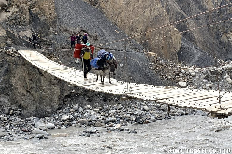
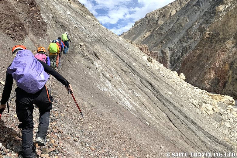
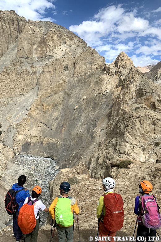
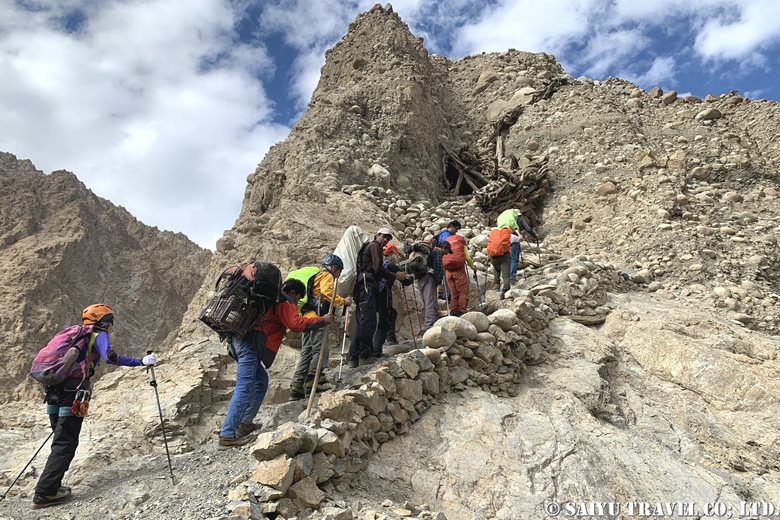
Finally, the treacherous ascent with an elevation difference of about 320m lay before us. To prevent slipping, we climbed step by step, one by one, accompanied by the locals.
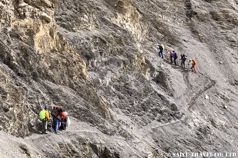
After a successful ascent, the path led to Past Darwaza (Lower Gate), which featured a gate made of stone. Continuing up the stone and wooden steps, using our hands, we reached the Wuch Darwaza (Upper Gate). We arrived at Prien-e-Sar (3,850m), where we stayed overnight. We had successfully crossed the crux of the approach. The peak of the Minglik Sar was now visible ahead.
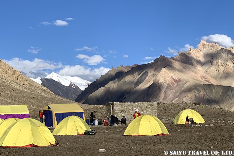
Day 3: Peryen Sar (3,850m) to Shuw Jerab (4,350m)
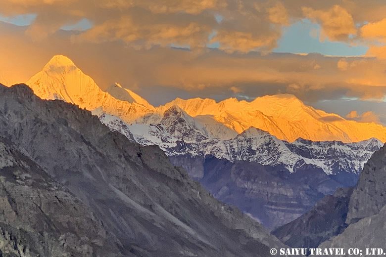
Today, we set our sights on Shuw-Jerab. In the morning, White Horn (6,400m, left) and Distaghil Sar (7,885m) were shining in the sunlight.
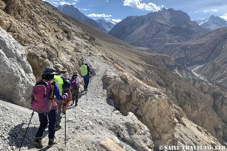
Unlike yesterday’s route, today’s was far more wide and open. We continued to Arbab Prien (the campsite on the way back) and crossed the confluence of the Shuw-Jerab and Ganji-Dor rivers.
We had lunch at a place near a willow tree. Continuing along the Shuw Jerab river, we came across some yaks being herded as we approached the summer village. Shuw Jerab is a summer village and pasture where goats, sheep and yaks brought up from Shimshal village spend the summer grazing.
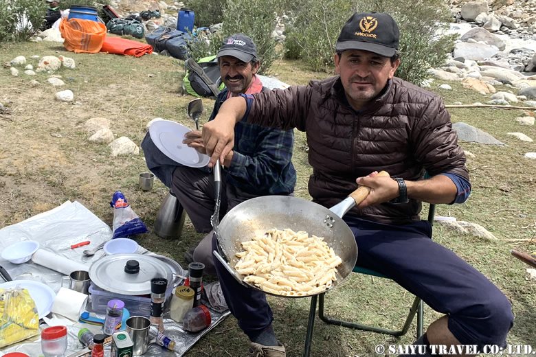
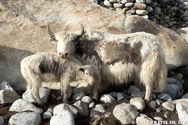
Day 4: Stay at Shuw Jerab (4,350m)
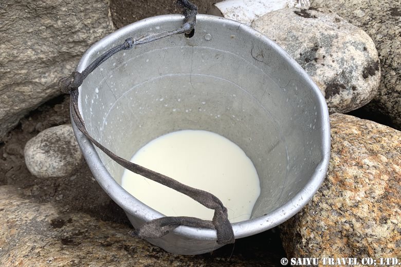
Today was our day off. We experienced the summer life of the Wakhi people in the Pamirs, including milking yaks and visiting their summer residences. I noted that, compared to goats and sheep, yaks have a certain impressive aura about them.
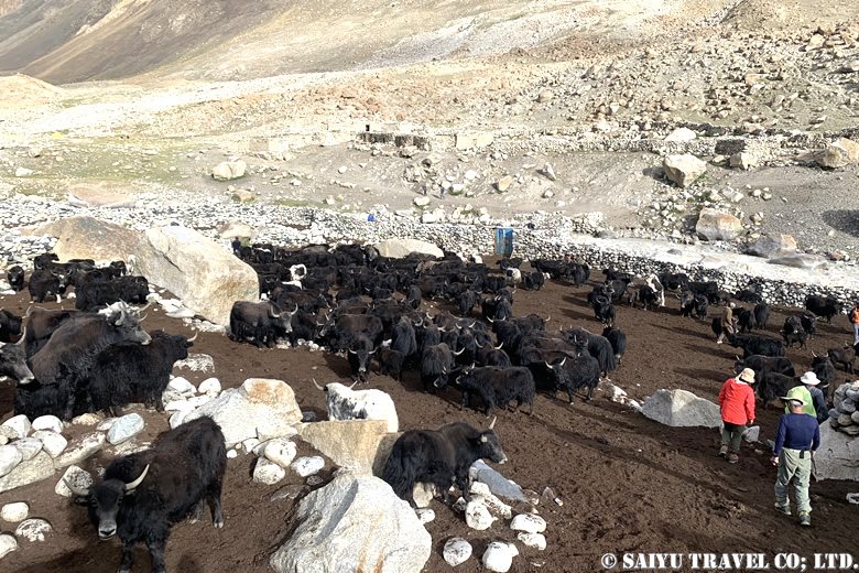
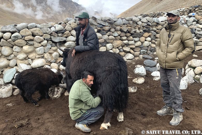
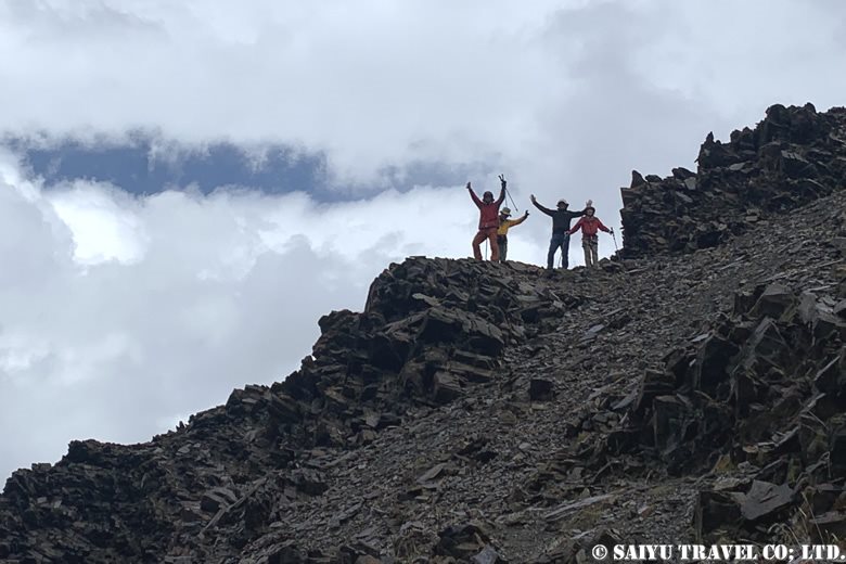
After that, we hiked to Guruchinwashuk-Sam (4,600m) on the neighboring hill for altitude acclimatization. This was an ascent of 250m. It also served as a practice run for the exposed rock zones which we would be climbing on the day we head to the summit.
Day 5: Shuw Jerab (4,350m) to Minglik Sar B.C. (4,730m)
It took about 3 to 4 hours to get to Minglik Sar B.C. On the way, we passed Minglik Sar on our left. Depending on the angle, it looks like a gently sloping mountain, and at its foot are two lakes, Zak Zoi and Lup Zoi. This time, we set up camp at B.C. along Zak Zoi.
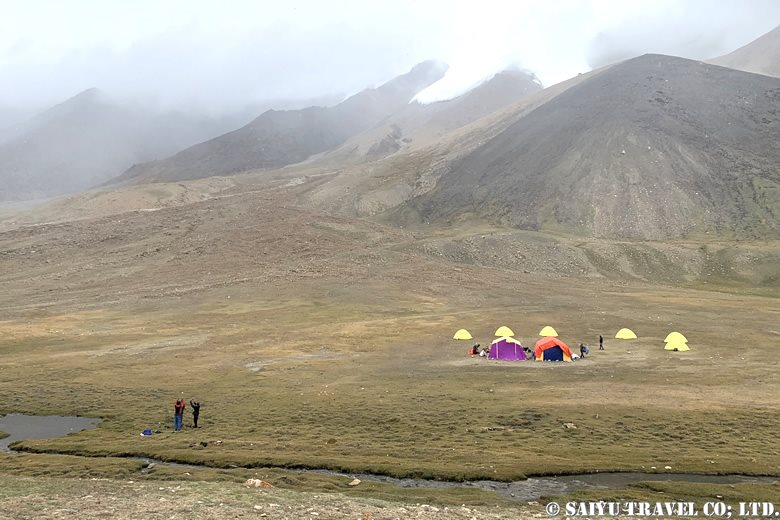
The weather forecast said it would improve from the next day, so we decided to take another day to get used to the altitude. Meanwhile, we cooked the sheep we had bought in Shuwerth for 40,000 rupees and enjoyed it alongside some Japanese curry.
Day 6: Stay at Minglik Sar B.C. (4,730m)
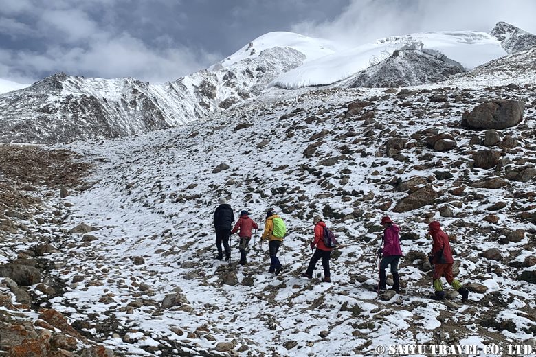
In the evening it started to snow, and the base camp was transformed into a winter wonderland. It also became very cold—the temperature dropped below freezing. I thought we wouldn’t be able to make any progress, but the snow stopped, so we went on a high altitude acclimatization trek, which also gave us a chance to inspect the climbing route. The sun came out and we could see that the weather was gradually improving. The snow on the ground was also melting.
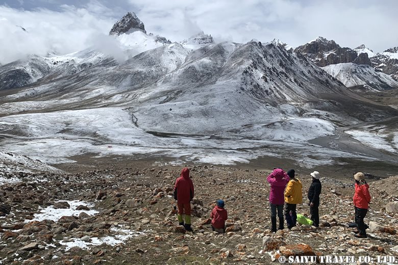
In the afternoon, we checked our equipment and relaxed. Those who wanted to move around more visited the summer settlement of Shuwelth.
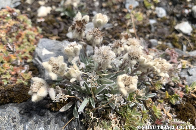
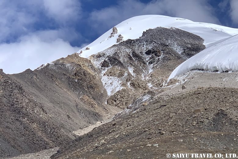
We can clearly see Minglik Sar, and our expectations rise.
To be continued in the second part…
Photo & Text : Osamu KUSUNOKI
Visit : Aug-Sep 2024, Shimshal Pamir, Shimshal, Gilgit-Baltistan
▼Related articles
”Kuch”, a summer in Shimshal Pamir
Shimshal Pamir: Will you try the Kuch? I did!
*Contact us, Indus Caravan for more information or to make arrangements for visiting Shimshal Pamir.
👉Follow us on Youtube, Instagram & Facebook
Category : ◆ Gilgit-Baltistan > - ShimshalTag : Minglik Sar , Shimhsla village , Kuch , Ghar-e-sar , Shimshal , Peryen Sar , Shimshal Pamir , Past fruzin , Shimshal Pamir Trekking , Wuch fruzin , Yak , Shuw Jerab , Yazghil Glacier , Shuwerth , Karakorum Trekking


